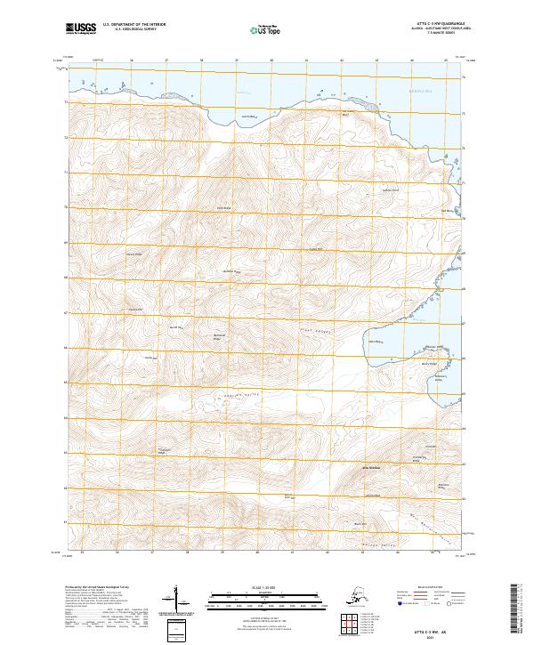
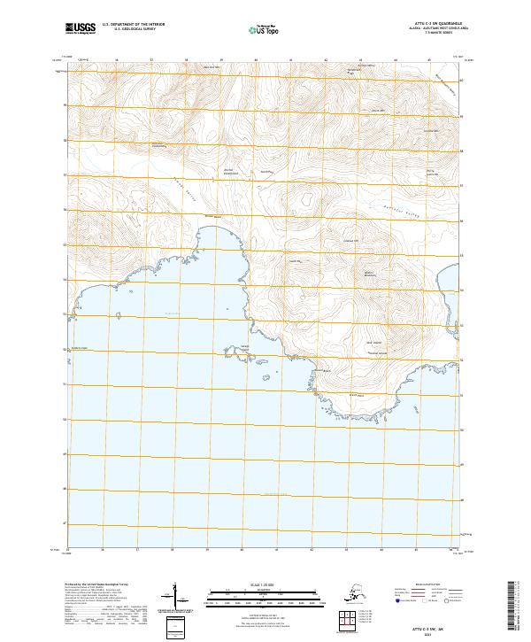
2021 Map of Attu C-3 NW
USGS Topo · Published 2021About this map
Attu Station anchors the southeastern landscape of this 2021 study of the remote Aleutian terrain, situated near the head of West Arm Holtz Bay. The map documents a complex network of high ridges and deep glacial valleys on the island of Attu. Notable high points include Black Mtn, Cold Mt, and Young Hill, while significant lowlands are traced through West Massacre Valley and Zwinge Valley.
Find a feature on this map
36 named features on this map. Tap any name to fly to it.
Don’t see what you’re looking for? This feature index may not catch every label — zoom into the map to look around manually.
Map Details
Editions of this 2021 Attu C-3 NW Map
This is the sole edition of this map. No revisions or reprints were ever made.
Other maps of this area

1952 · Attu
USGS Topo · 1:250,000

1953 · Attu
USGS Topo · 1:250,000
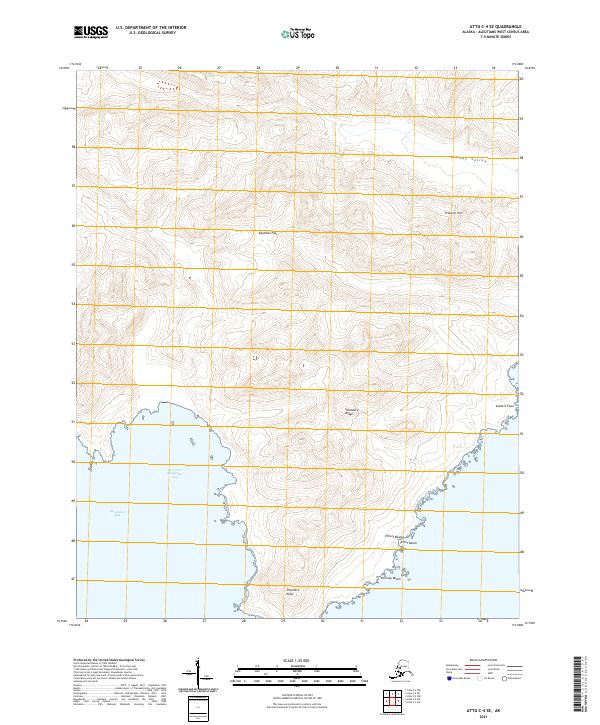
2021 · Attu C-4 SE
USGS Topo · 1:25,000
2021 · Attu D-4 SE
USGS Topo · 1:25,000
2021 · Attu C-3 OE N SW
USGS Topo · 1:25,000
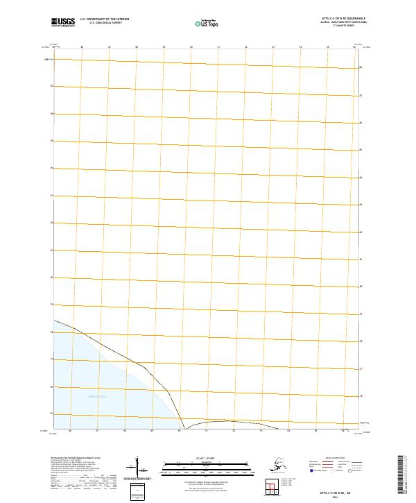
2021 · Attu C-3 OE N SE
USGS Topo · 1:25,000
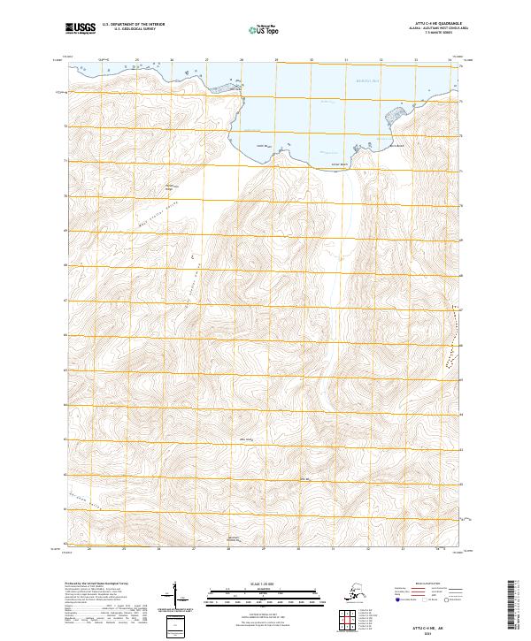
2021 · Attu C-4 NE
USGS Topo · 1:25,000
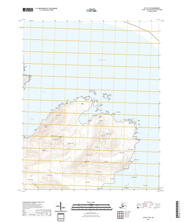
2021 · Attu C-3 NE
USGS Topo · 1:25,000
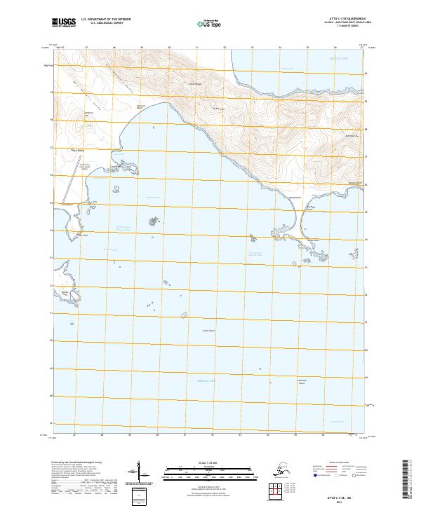
2021 · Attu C-3 SE
USGS Topo · 1:25,000
2021 · Attu C-3 SW
USGS Topo · 1:25,000