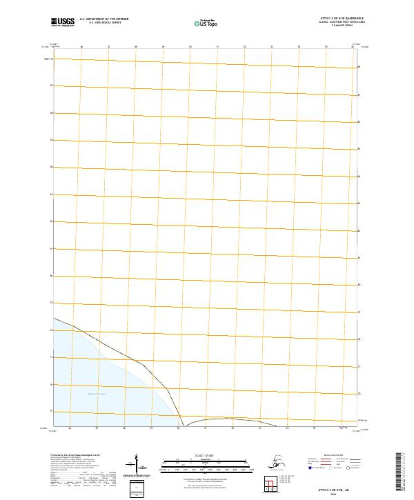
2021 Map of Attu C-3 OE N SE
USGS Topo · Published 2021About this map
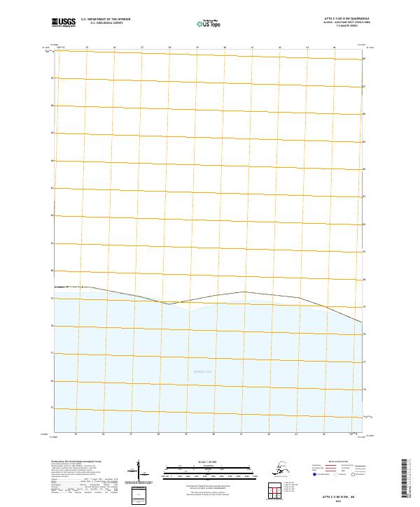
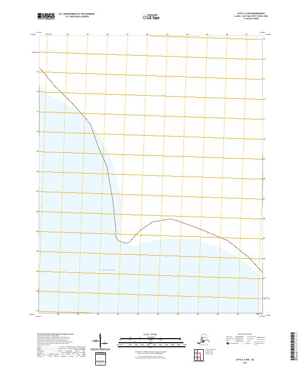
The Bering Sea dominates this coastal survey of the westernmost reaches of the Aleutian Islands. This specific quadrangle reflects the modern geodetic framework established by the U.S. Geological Survey and the Bureau of Land Management for the remote Aleutians West region. While largely defined by open water, the southern portion of the sheet provides precise township and range data, specifically within t83s r261w, where the maritime boundary meets the coastline of this isolated archipelago. This map serves as a technical record of Alaska's maritime landscape in the early twenty-first century, mapping the intersection of public land survey systems and the northern Pacific waters.
Find a feature on this map
2 named features on this map. Tap any name to fly to it.
Don’t see what you’re looking for? This feature index may not catch every label — zoom into the map to look around manually.
Map Details
Editions of this 2021 Attu C-3 OE N SE Map
This is the sole edition of this map. No revisions or reprints were ever made.