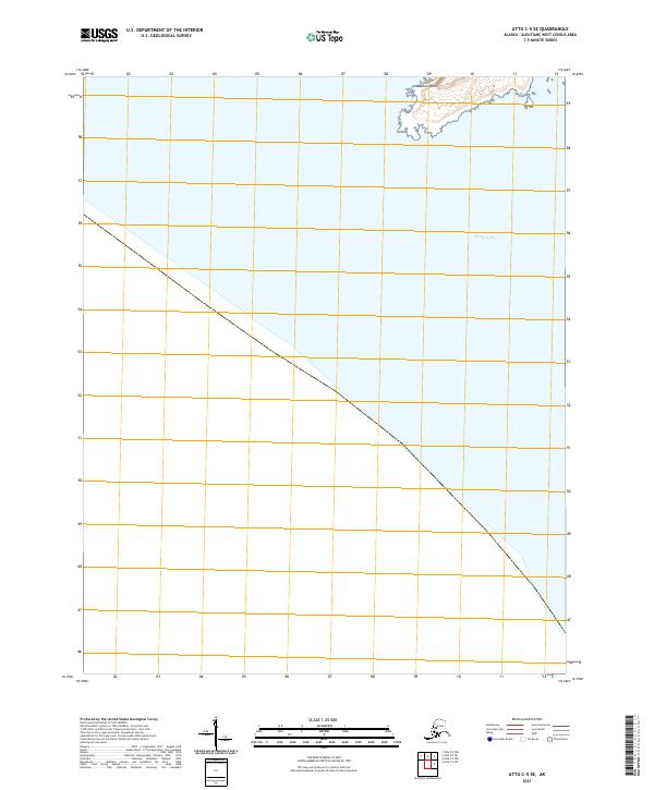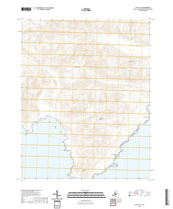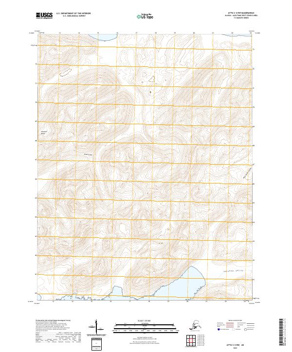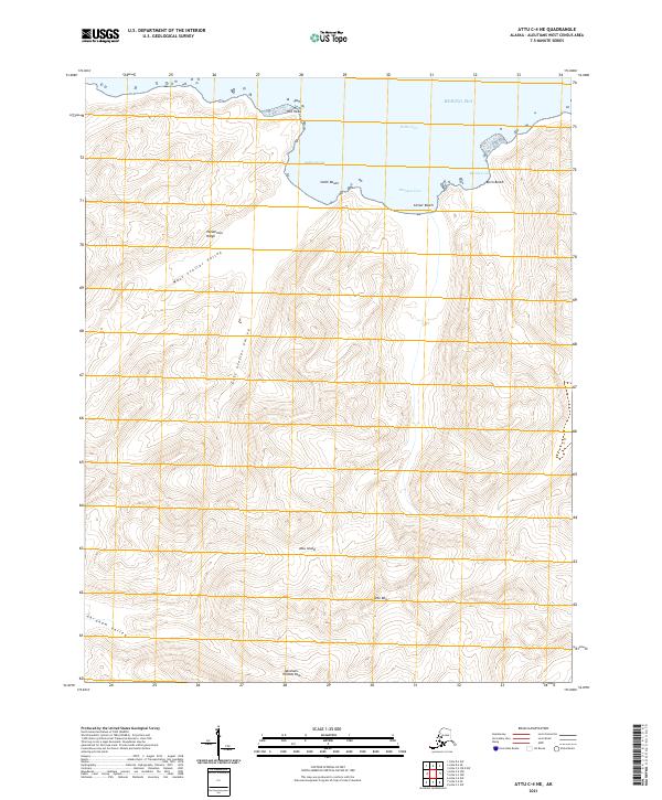
2021 Map of Attu C-4 SW
USGS Topo · Published 2021About this map
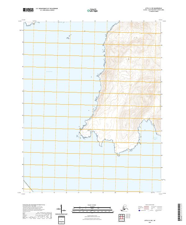
Abraham Bay dominates the western coastline of this remote segment of the Aleutian Islands, where the North Pacific meets the Bering Sea. The terrain rises sharply from the rocky shoreline of Chuniksak Point into a series of steep, unnamed ridges that define the interior of the island. On the southeastern edge of the sheet, the West Arm Nevidiskov Bay cuts deeply into the land, creating a sheltered inlet far from any modern development. This 2021 survey illustrates the extreme isolation and literal edge of the United States, showing no infrastructure beyond the basic topographical and hydrological contours. The absence of roads or settlements underscores the untouched character of this high-latitude maritime landscape, providing a clear picture of the region's natural geography as it exists in the early twenty-first century.
Find a feature on this map
6 named features on this map. Tap any name to fly to it.
Don’t see what you’re looking for? This feature index may not catch every label — zoom into the map to look around manually.
Map Details
Editions of this 2021 Attu C-4 SW Map
This is the sole edition of this map. No revisions or reprints were ever made.