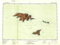
1952 Map of Attu
USGS Topo · Published 1952About this map
Attu Island and its surrounding archipelago anchor this reconnaissance survey, detailing the westernmost reach of the Aleutian Islands shortly after the second World War. The topography, compiled from Army Map Service data and aerial photography, reveals the stark isolation of Agattu Island and the Semichi Islands across the Agattu Strait. Navigationally significant points such as Chichagof Harbor and Massacre Bay are clearly delineated, reflecting the area's strategic importance during recent Pacific conflicts. This landscape is dominated by the Wrangell Range and Attu Mountain, landforms that define the character of the Aleutian Islands National Wildlife Refuge. From the western extremity at Cape Wrangell to the eastern outpost of Shemya Island, the map captures a moment when mid-century military and coastal surveys first brought these remote territories into high-fidelity topographic focus.
Find a feature on this map
54 named features on this map. Tap any name to fly to it.
Don’t see what you’re looking for? This feature index may not catch every label — zoom into the map to look around manually.
Map Details
Editions of this 1952 Attu Map
3 editions found
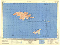
Other maps of this area

1952 · Attu
USGS Topo · 1:250,000

1953 · Attu
USGS Topo · 1:250,000
2021 · Attu C-5 SE
USGS Topo · 1:25,000
2021 · Attu C-4 SE
USGS Topo · 1:25,000
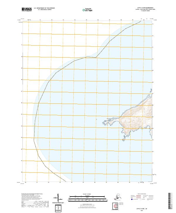
2021 · Attu C-5 NW
USGS Topo · 1:25,000
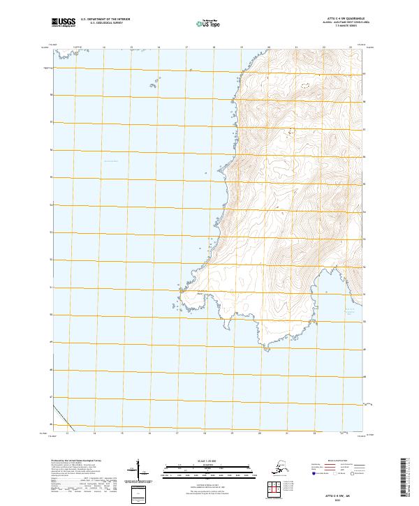
2021 · Attu C-4 SW
USGS Topo · 1:25,000
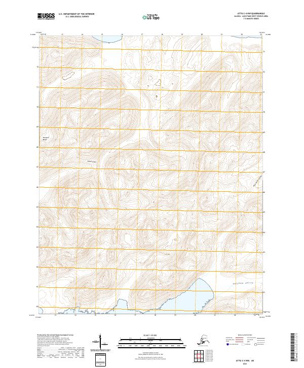
2021 · Attu C-4 NW
USGS Topo · 1:25,000
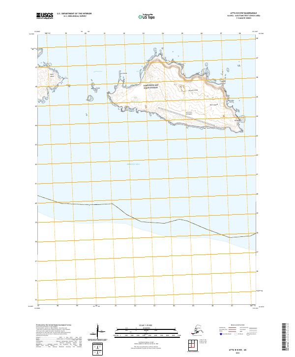
2021 · Attu B-0 NW
USGS Topo · 1:25,000
2021 · Attu D-4 SE
USGS Topo · 1:25,000
2021 · Attu C-3 OE N SW
USGS Topo · 1:25,000