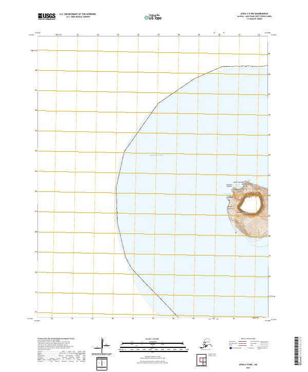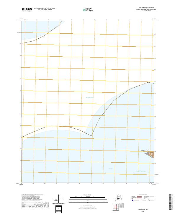
2021 Map of Atka C-5 SE
USGS Topo · Published 2021About this map
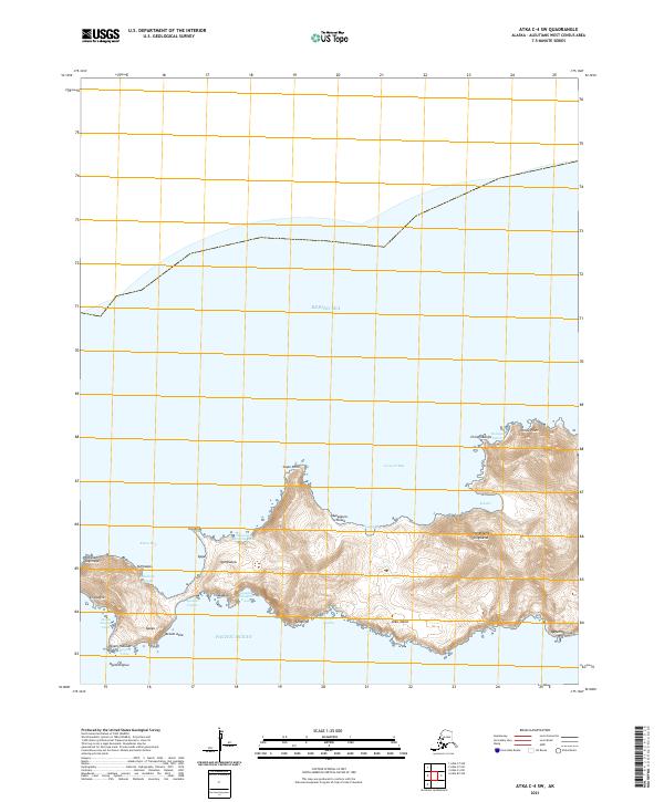
Atka Pass serves as the maritime divide between the Bering Sea and the Pacific Ocean in this coastal survey of the Aleutian chain. The map focuses on the western edge of Atka Island, where the land terminates at the prominent point of Cape Kigun. This specific corner of the island is marked by several traditional Aleut geographic features, including Hadas, Hadangin, Yaaga, and Uxtasux. The survey captures the remote intersection of two oceans, providing a detailed look at the island's coastal topography and its position relative to the Public Land Survey System grids t94s r186w and t94s r185w.
Find a feature on this map
11 named features on this map. Tap any name to fly to it.
Don’t see what you’re looking for? This feature index may not catch every label — zoom into the map to look around manually.
Map Details
Editions of this 2021 Atka C-5 SE Map
This is the sole edition of this map. No revisions or reprints were ever made.