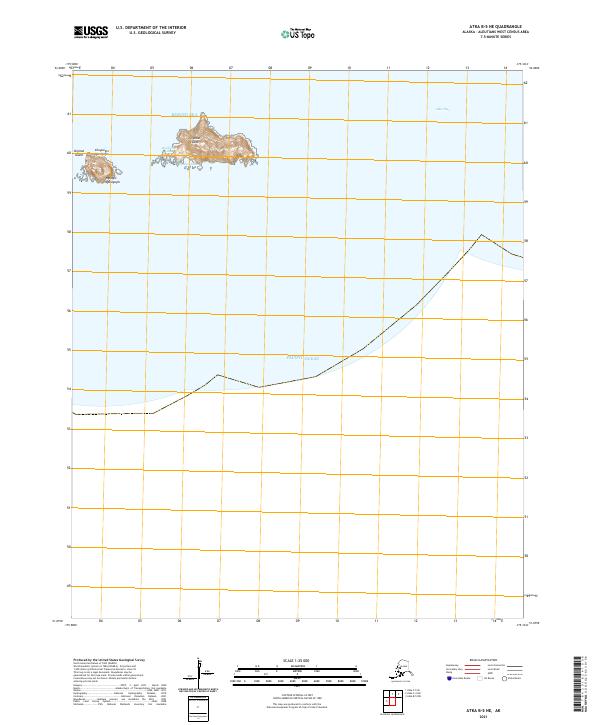
2021 Map of Atka B-5 NE
USGS Topo · Published 2021About this map
Oglodak Island sits at the maritime threshold of the Bering Sea and Pacific Ocean, anchoring this survey of the central Aleutian chain. The landscape is defined by its isolation and the deep-water transition of Atka Pass to the east. Topographic details reveal the complex coastal geometry of Ikiginak Island and the neighboring landforms of Chuguugix Qmalgagix and Nuvugix Qmalgagix. Local geographic nomenclature is preserved through labels such as Hachixim-Udaax and Ngama-Udaax, providing insight into the Unangam Tunuu place names that characterize this maritime environment. The map captures the uninhabited terrain as it existed in the early twenty-first century, highlighting the land-to-sea relationship in a region shaped by volcanic origins and extreme subarctic conditions.
Find a feature on this map
13 named features on this map. Tap any name to fly to it.
Don’t see what you’re looking for? This feature index may not catch every label — zoom into the map to look around manually.
Map Details
Editions of this 2021 Atka B-5 NE Map
This is the sole edition of this map. No revisions or reprints were ever made.