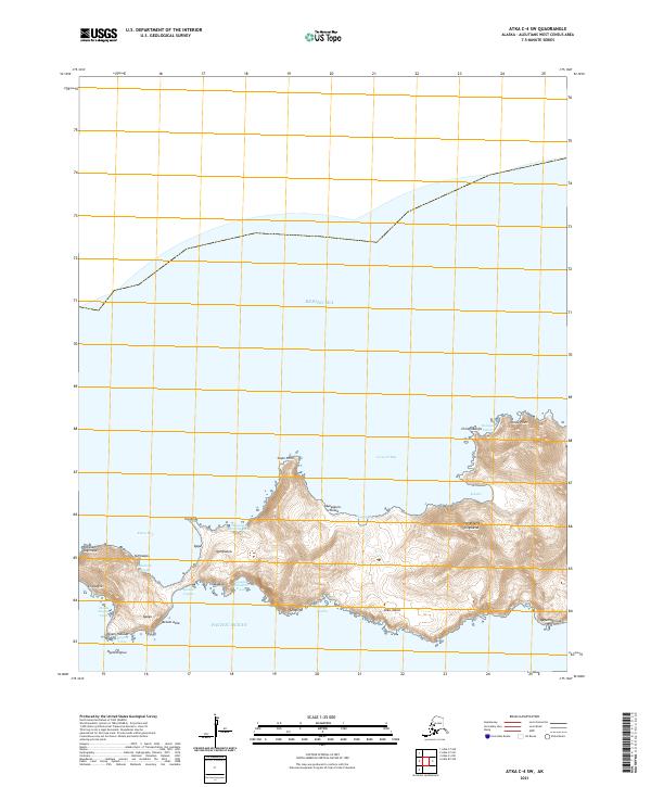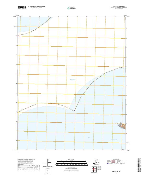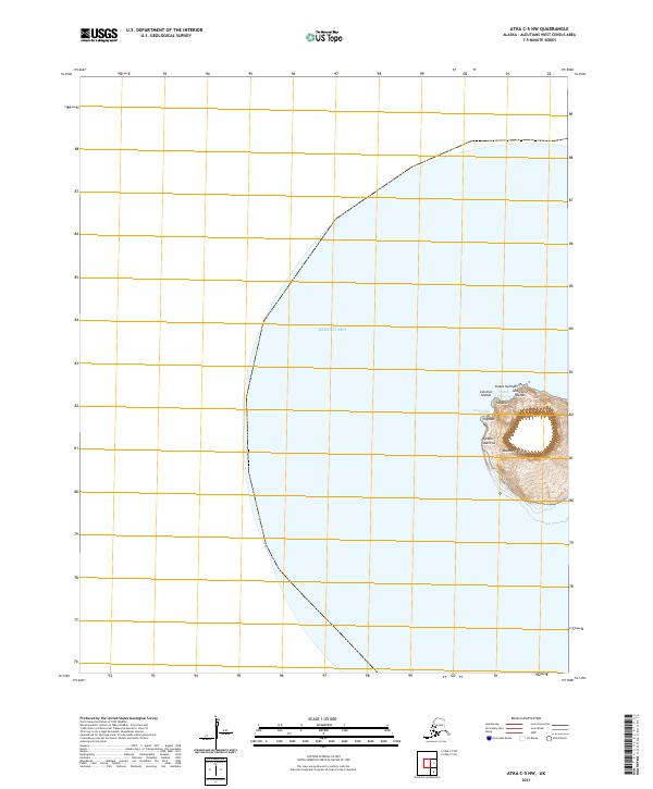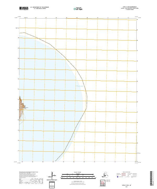
2021 Map of Atka C-5 NE
USGS Topo · Published 2021About this map
Bering Sea waters dominate this remote coastal survey of the Aleutian Islands, providing a clear view of the maritime environment surrounding the eastern portion of Atka Island. The landscape is primarily defined by the shoreline of the island, where the terrain rises at Qanatanam Iguga. Aside from the coastal topography and the vast expanse of the open sea, the map depicts the survey lines for Township 92 South, Range 185 West, showing the cadastral framework established by the Bureau of Land Management in this part of the Aleutians West Census Area. This 2021 edition focuses on the physical coastline and hydrography of this unpopulated stretch of the North Pacific.
Find a feature on this map
4 named features on this map. Tap any name to fly to it.
Don’t see what you’re looking for? This feature index may not catch every label — zoom into the map to look around manually.
Map Details
Editions of this 2021 Atka C-5 NE Map
This is the sole edition of this map. No revisions or reprints were ever made.