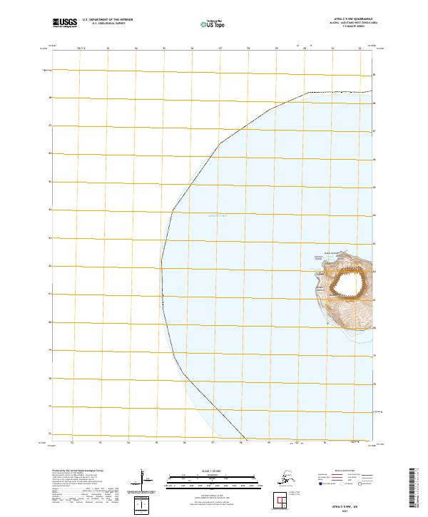
2021 Map of Atka C-5 NW
USGS Topo · Published 2021About this map
Kasatuchi Island emerges from the Bering Sea as the primary geographic focus of this 2021 study. Located within the Andreanof Islands group of the larger Aleutian Islands chain, the island's coastline is detailed with several Indigenous Unangam Tunuu place names, reflecting the cultural geography of the Aleutians West region. Points of interest around the island's periphery include Ulasuudax and Tagalux, along with coastal features like Isilam Aallicha and Slukas Ugimga. North of the main island mass, the smaller formation of Kasalux is noted near Hanim Unangaa. The map is largely dominated by open water, highlighting the extreme isolation of this volcanic landscape within the northern Pacific maritime environment.
Find a feature on this map
11 named features on this map. Tap any name to fly to it.
Don’t see what you’re looking for? This feature index may not catch every label — zoom into the map to look around manually.
Map Details
Editions of this 2021 Atka C-5 NW Map
This is the sole edition of this map. No revisions or reprints were ever made.