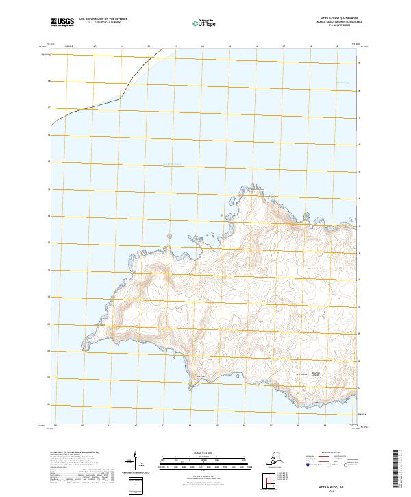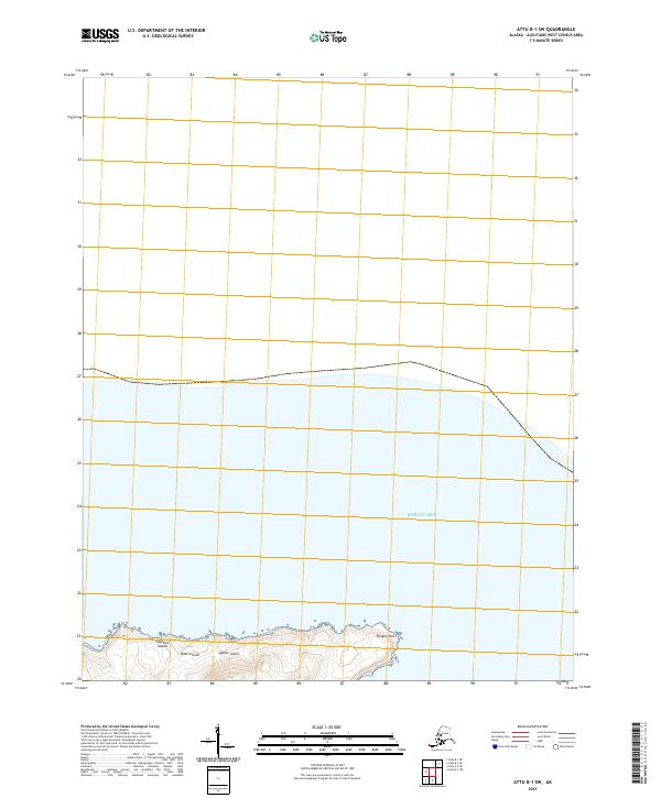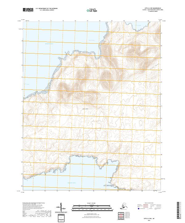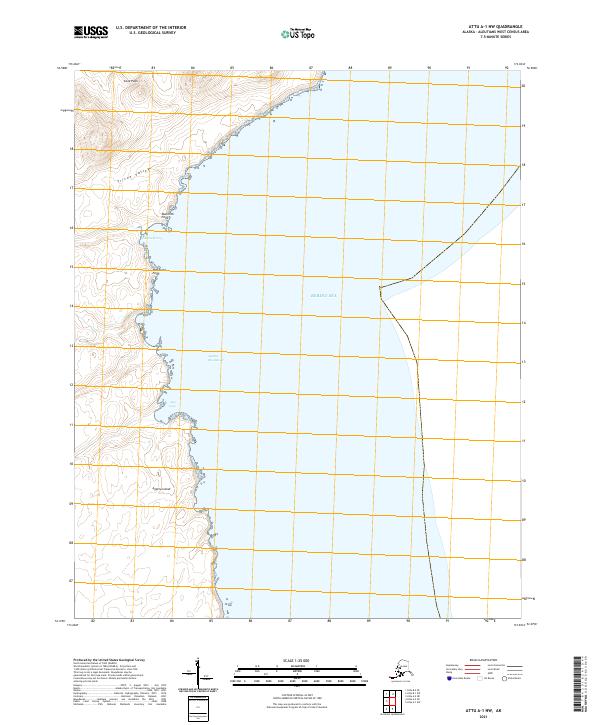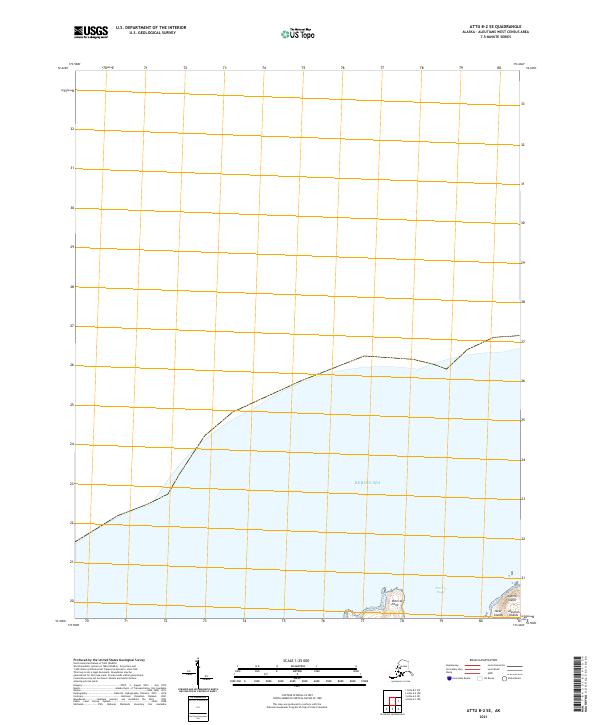
2021 Map of Attu B-2 SE
USGS Topo · Published 2021About this map
Agattu Island and the surrounding waters of the Bering Sea define this maritime landscape in the Near Islands group of the Aleutian Islands. This 2021 survey focuses on the northern coastal features of the island, specifically the shoreline around Patricia Point and the adjacent Patricia Bight. The map illustrates a primarily coastal and aquatic environment, with limited terrestrial coverage that reveals the remote island topography and the established Public Land Survey System grids, such as t88s r260w and t89s r262w. For researchers, the map provides precise shoreline data and coordinate systems for one of the westernmost points of the United States, tracing the boundary where the island's landmass meets the northern Pacific currents.
Find a feature on this map
9 named features on this map. Tap any name to fly to it.
Don’t see what you’re looking for? This feature index may not catch every label — zoom into the map to look around manually.
Map Details
Editions of this 2021 Attu B-2 SE Map
This is the sole edition of this map. No revisions or reprints were ever made.