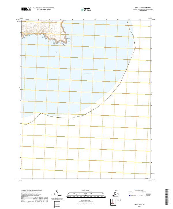
2021 Map of Attu A-1 NW
USGS Topo · Published 2021About this map
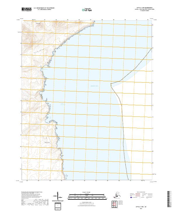
Agattu Island presents a profile of the remote western Aleutians, where the terrain rises sharply from the Bering Sea into the heights of Cone Peak. The island's northern coastline is punctuated by notable geological features, from the dramatic Monolith Point to the sheltered waters of McDonald Cove. Inland, the topographic detail traces the deep carving of Triton Valley, illustrating the glacial or volcanic forces that shaped this isolated archipelago. This modern survey by the U.S. Geological Survey provides a clear view of the island's marine approaches, including Agattu Roadstead and Aga Cove, areas traditionally significant for navigation in these treacherous northern waters. The absence of roads or permanent structures on this sheet underscores the uninhabited and natural state of the island in the early twenty-first century.
Find a feature on this map
12 named features on this map. Tap any name to fly to it.
Don’t see what you’re looking for? This feature index may not catch every label — zoom into the map to look around manually.
Map Details
Editions of this 2021 Attu A-1 NW Map
This is the sole edition of this map. No revisions or reprints were ever made.