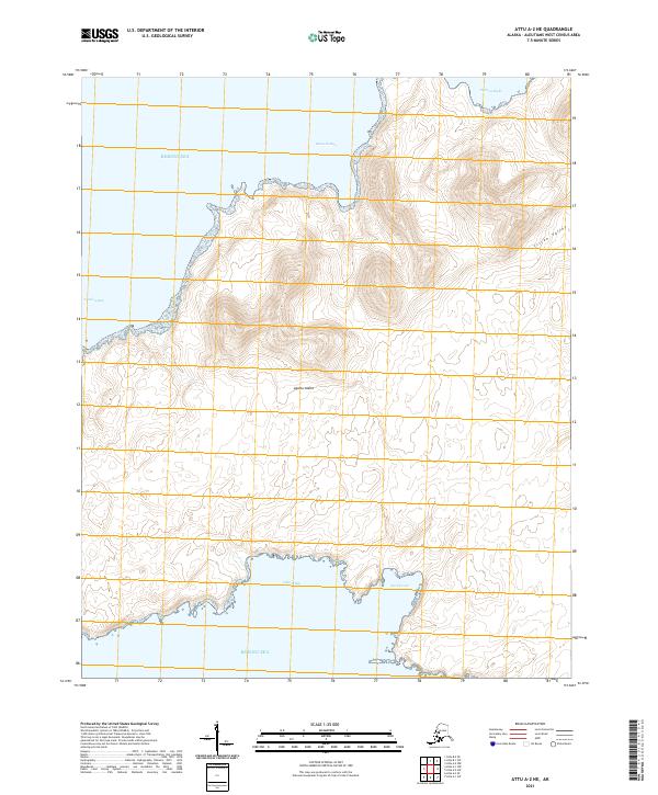
2021 Map of Attu A-2 NE
USGS Topo · Published 2021About this map
Agattu Island presents a complex and isolated landscape within the Bering Sea, defined by its indented coastline and interior relief. This northeastern portion of the island features the prominent Triton Valley, which cuts through the high ground on the eastern side. The coast is marked by several named nautical landmarks, including Binnacle Bay and Patricia Bight to the north, and Karab Cove and Otkrit Bay along the southern shore. The absence of roads or settlements underscores the remote nature of this Aleutian island, where the topography is the primary focus. The map detail highlights the intricate shoreline of Armeria Bay on the western edge, providing an exacting look at the uninhabited terrain that characterizes this part of the Aleutians West Census Area.
Find a feature on this map
12 named features on this map. Tap any name to fly to it.
Don’t see what you’re looking for? This feature index may not catch every label — zoom into the map to look around manually.
Map Details
Editions of this 2021 Attu A-2 NE Map
This is the sole edition of this map. No revisions or reprints were ever made.
Other maps of this area

1952 · Attu
USGS Topo · 1:250,000

1953 · Attu
USGS Topo · 1:250,000
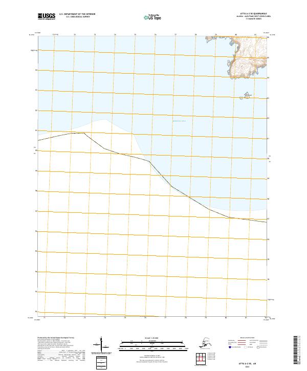
2021 · Attu A-2 SE
USGS Topo · 1:25,000
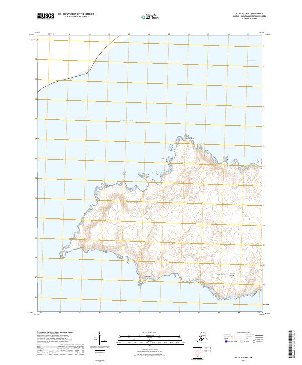
2021 · Attu A-2 NW
USGS Topo · 1:25,000
2021 · Attu A-2 SW
USGS Topo · 1:25,000
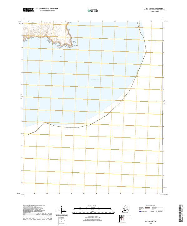
2021 · Attu A-1 SW
USGS Topo · 1:25,000
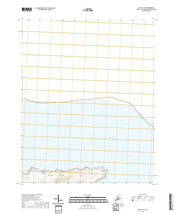
2021 · Attu B-1 SW
USGS Topo · 1:25,000
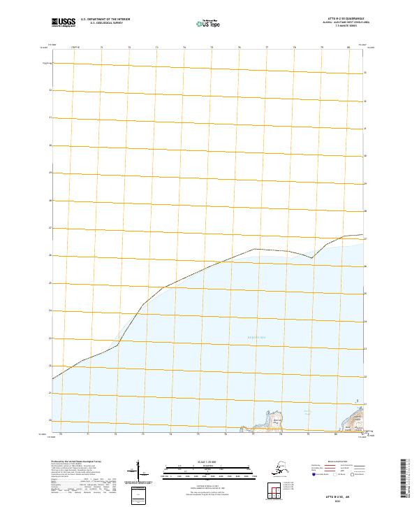
2021 · Attu B-2 SE
USGS Topo · 1:25,000
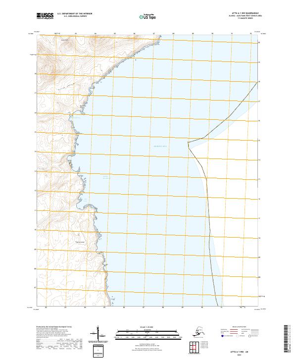
2021 · Attu A-1 NW
USGS Topo · 1:25,000