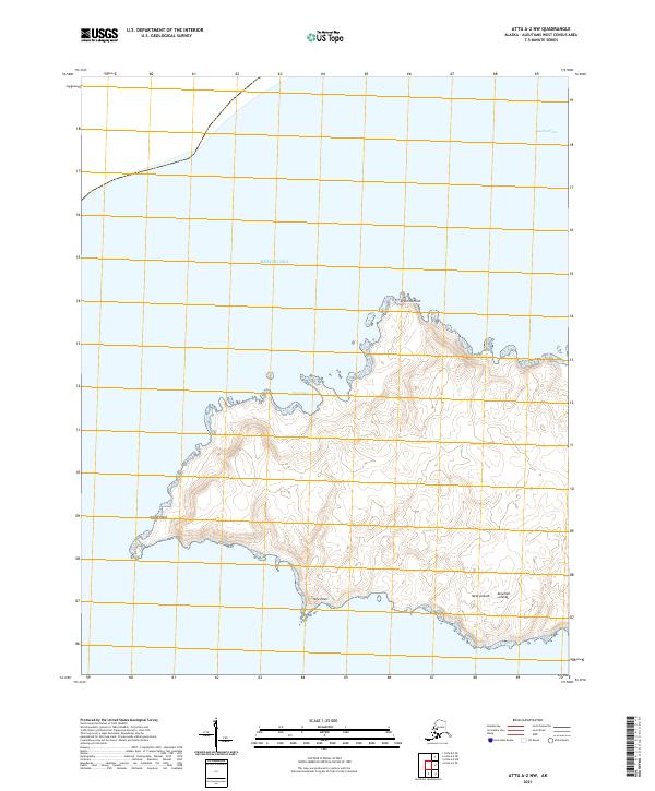
2021 Map of Attu A-2 NW
USGS Topo · Published 2021About this map
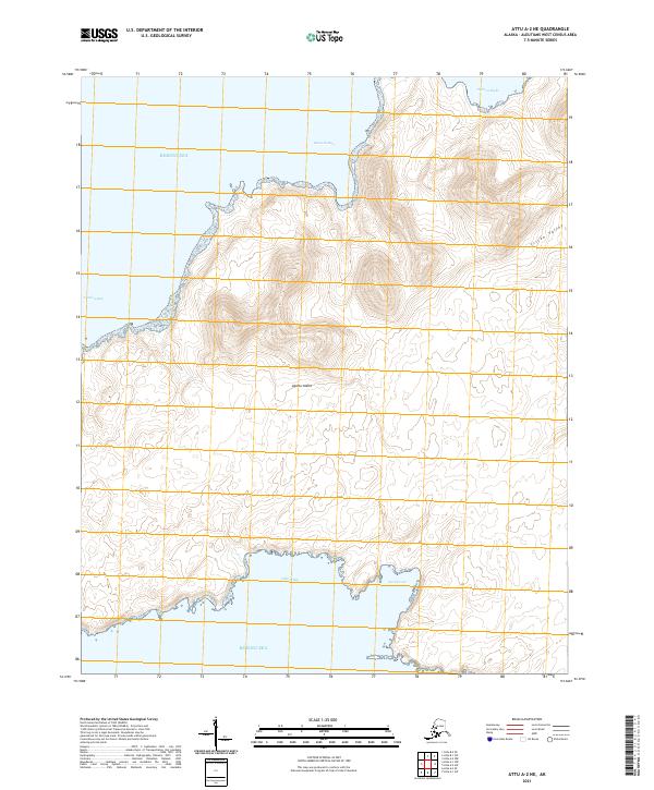
The Near Islands of the Aleutian Islands chain are defined by their isolation and maritime exposure in the northern Pacific. This section of the archipelago faces the Bering Sea to the north and the Agattu Strait to the east, illustrating a landscape shaped by coastal processes. The landmass is characterized by prominent headlands such as Armeria Point on the northern shore and Gillon Point at the western extremity, while Nile Point marks the southern coast. These points of land create protected maritime features like West Cove, which provide insight into the natural harbors used for navigation in these remote waters. The map effectively documents the topographic contours of this volcanic terrain, showing the steep elevations and drainage patterns typical of the westernmost reaches of the Alaskan territory.
Find a feature on this map
12 named features on this map. Tap any name to fly to it.
Don’t see what you’re looking for? This feature index may not catch every label — zoom into the map to look around manually.
Map Details
Editions of this 2021 Attu A-2 NW Map
This is the sole edition of this map. No revisions or reprints were ever made.