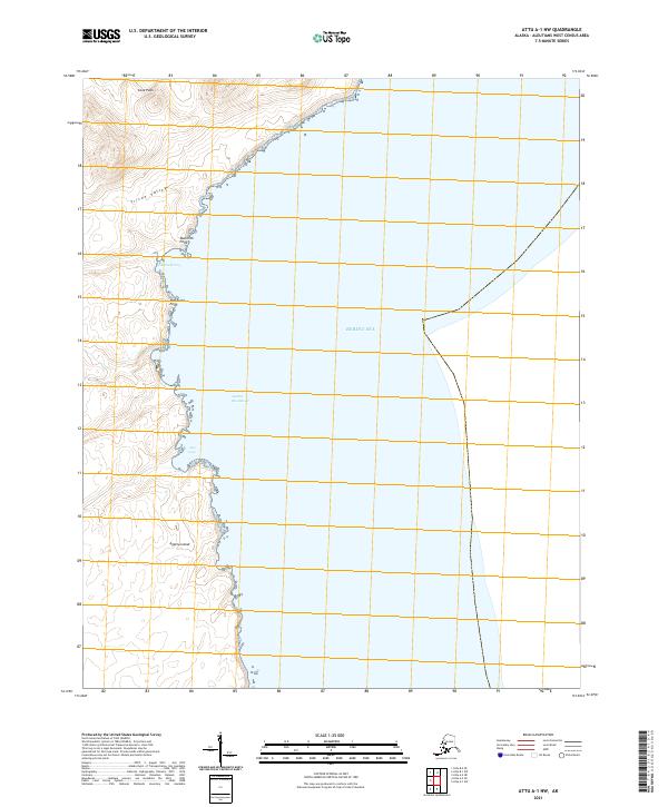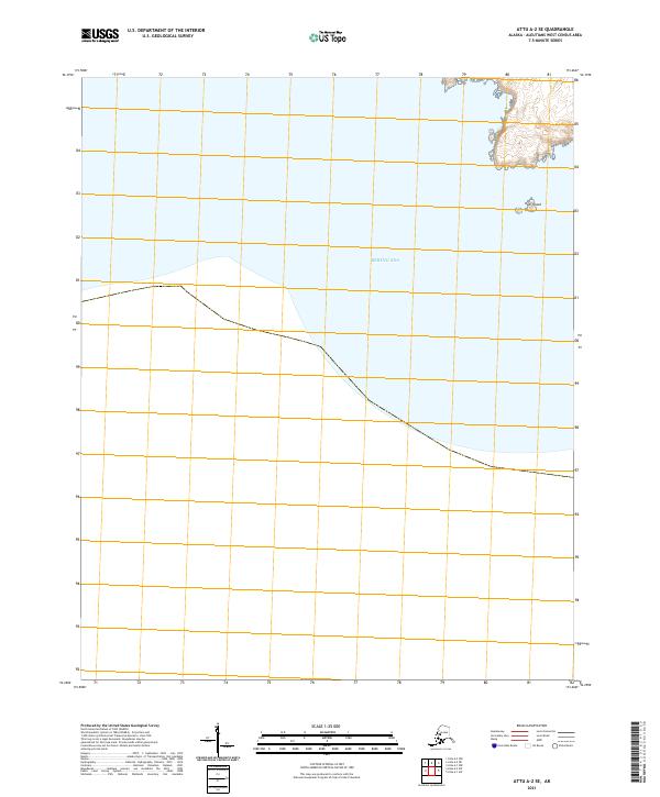
2021 Map of Attu A-2 SE
USGS Topo · Published 2021About this map
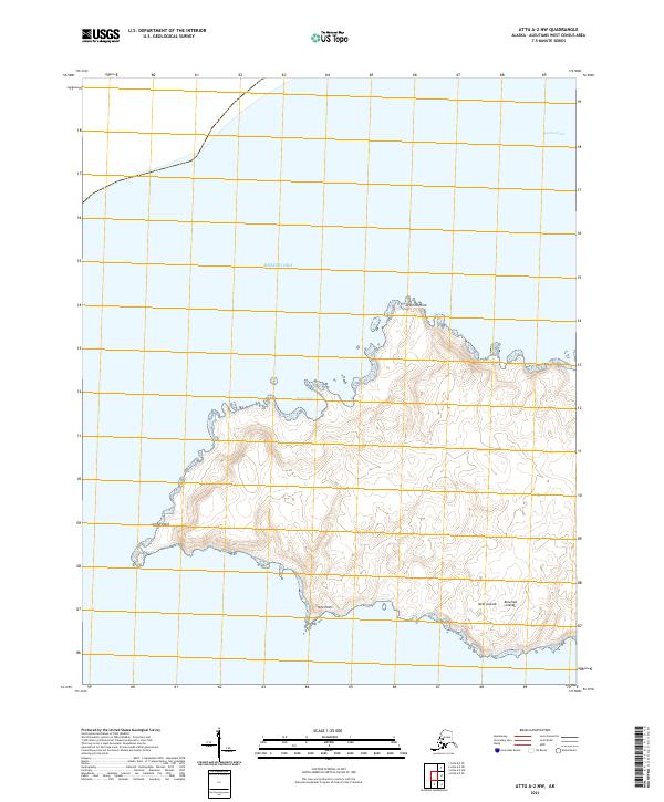
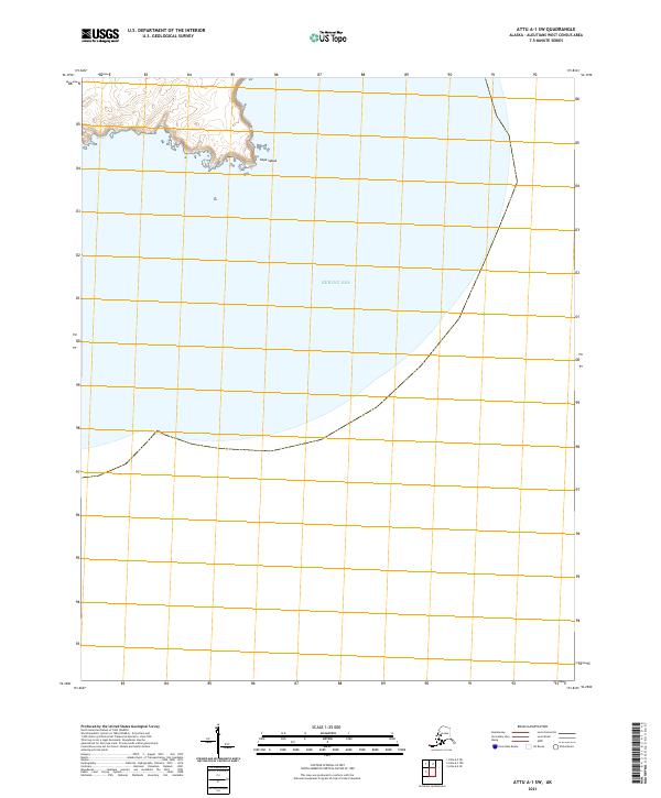
Kohl Island stands as a lonely point of land in the northeastern corner of this maritime map, surrounded by the waters of the Bering Sea. Situated in the Aleutian archipelago, the area is defined by its extreme isolation and the absence of human infrastructure, roads, or settlements. The landmass shown is primarily characterized by the westernmost stretches of the Aleutians West Census Area, where the topography rises sharply from the shoreline into unnamed coastal peaks. This 2021 survey by the U.S. Geological Survey indicates a landscape preserved in its natural state, dominated by the maritime environment and the administrative boundaries of t90s r262w and t90s r263w which divide the open sea and occasional rocky outcrops.
Find a feature on this map
4 named features on this map. Tap any name to fly to it.
Don’t see what you’re looking for? This feature index may not catch every label — zoom into the map to look around manually.
Map Details
Editions of this 2021 Attu A-2 SE Map
This is the sole edition of this map. No revisions or reprints were ever made.