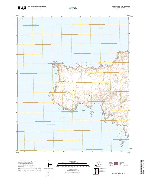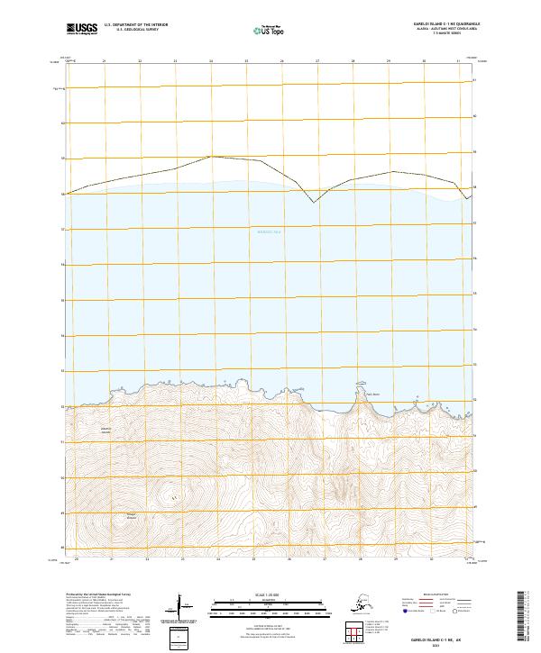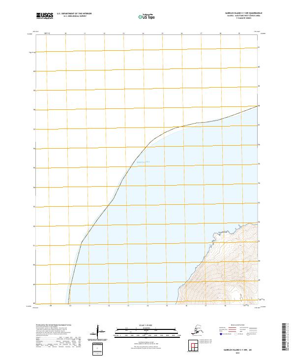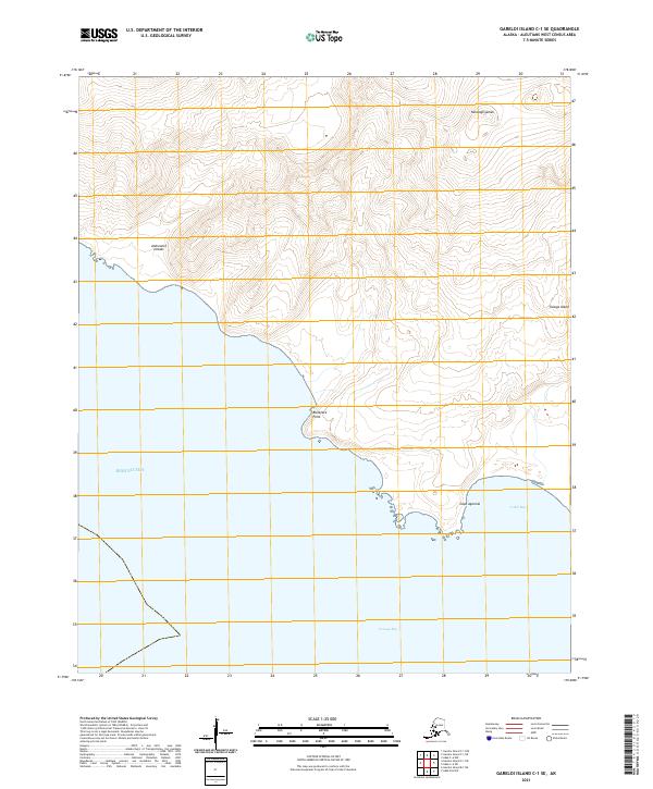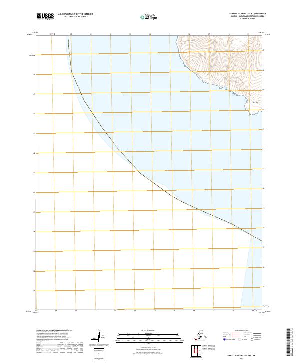
2021 Map of Gareloi Island C-1 SW
USGS Topo · Published 2021About this map
Cape Sajaka marks the steep, mountainous coastline of this volcanic island terrain, where the slopes drop precipitously into the surrounding Bering Sea. This survey focuses on the rugged southwestern flank of the landmass, capturing the intersection of high-elevation contour lines and the marine environment. The topography is defined by sharp ridges and drainages that terminate at the shore, including the distinct coastal feature at Fan Point. The map illustrates the extreme isolation of these Aleutian landforms, where the only human infrastructure noted is the Public Land Survey System grid, represented by the boundaries of t96s r206w and t97s r207w. The absence of roads or settlements emphasizes the wilderness character of the island in the early 21st century.
Find a feature on this map
5 named features on this map. Tap any name to fly to it.
Don’t see what you’re looking for? This feature index may not catch every label — zoom into the map to look around manually.
Map Details
Editions of this 2021 Gareloi Island C-1 SW Map
This is the sole edition of this map. No revisions or reprints were ever made.