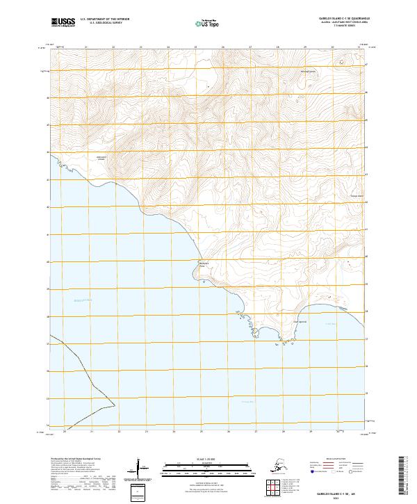
2021 Map of Gareloi Island C-1 SE
USGS Topo · Published 2021About this map
Tanaga Island, situated within the Andreanof Islands chain of the Aleutians, is defined by its dramatic volcanic topography and complex coastline. This recent survey by the U.S. Geological Survey details the island's southern reaches, where the high elevation of Tanaxagligamax slopes sharply toward the Bering Sea. The map reveals a shore marked by prominent coastal features including Blackface Point and Cape Agamsik, which separate the sheltered waters of Tanaga Bay and Cable Bay. The absence of man-made structures or modern settlements underscores the isolation of this maritime environment, leaving the focus entirely on the natural landforms and the shifting shoreline of this remote Alaskan territory.
Find a feature on this map
13 named features on this map. Tap any name to fly to it.
Don’t see what you’re looking for? This feature index may not catch every label — zoom into the map to look around manually.
Map Details
Editions of this 2021 Gareloi Island C-1 SE Map
This is the sole edition of this map. No revisions or reprints were ever made.
Other maps of this area

1951 · Gareloi Island
USGS Topo · 1:250,000

1951 · Adak
USGS Topo · 1:250,000

1954 · Adak
USGS Topo · 1:250,000

1954 · Gareloi Island
USGS Topo · 1:250,000

1957 · Adak
USGS Topo · 1:250,000

1967 · Adak
USGS Topo · 1:250,000

1983 · Adak
USGS Topo · 1:250,000
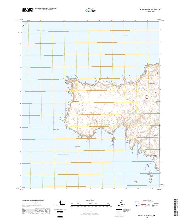
2021 · Gareloi Island B-1 NE
USGS Topo · 1:25,000
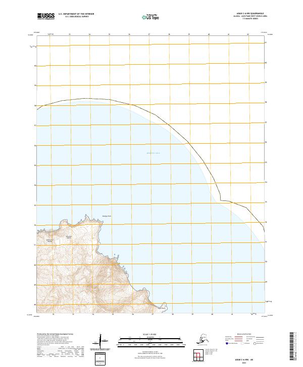
2021 · Adak C-6 NW
USGS Topo · 1:25,000
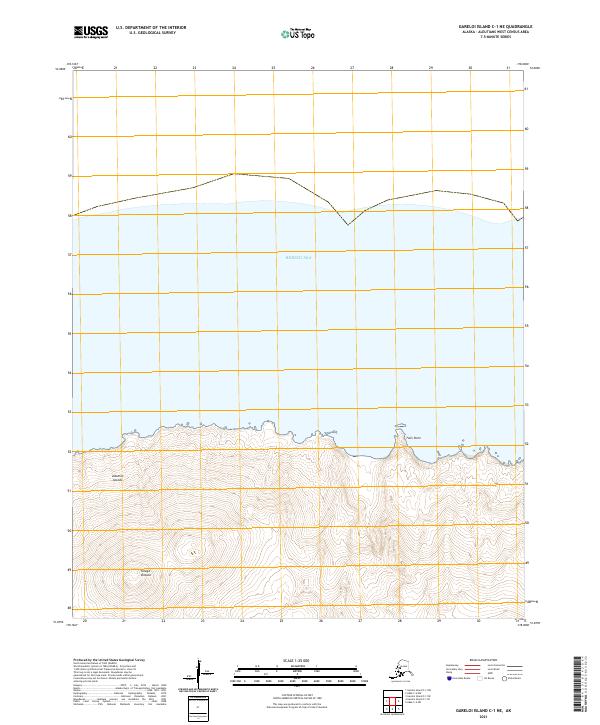
2021 · Gareloi Island C-1 NE
USGS Topo · 1:25,000