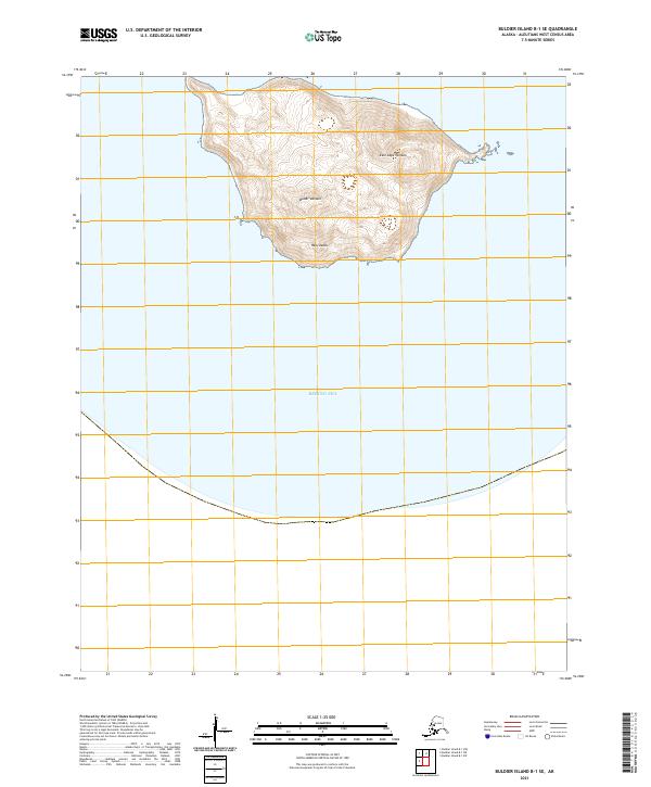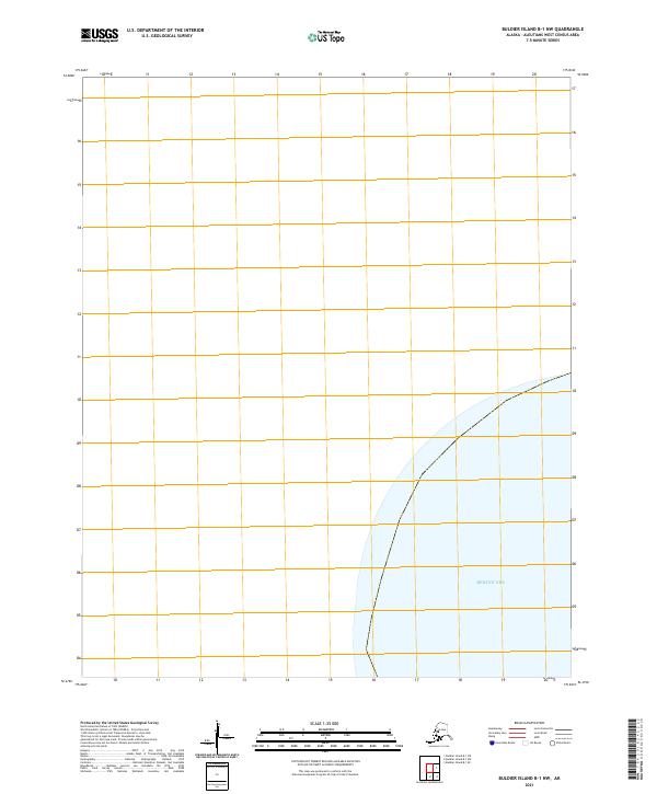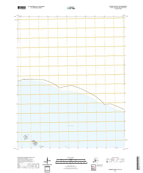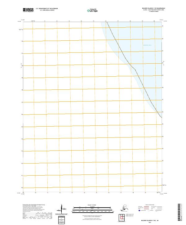
2021 Map of Buldier Island B-1 SW
USGS Topo · Published 2021About this map
Bering Sea waters dominate this 2021 maritime survey, which charts a remote maritime expanse within the t90s r247w township grid. The map serves as a contemporary record of the Aleutians West Census Area, though terrestrial details are absent due to the geography of the quadrangle. A significant characteristic of this specific survey is the lack of topographic contours; the U.S. Geological Survey notes that available elevation data did not meet accuracy requirements for this particular location. The result is a clean, grid-based representation of these subarctic waters, defining the administrative boundaries and surveying divisions of the region as they were recorded in the early twenty-first century.
Find a feature on this map
2 named features on this map. Tap any name to fly to it.
Don’t see what you’re looking for? This feature index may not catch every label — zoom into the map to look around manually.
Map Details
Editions of this 2021 Buldier Island B-1 SW Map
This is the sole edition of this map. No revisions or reprints were ever made.