2021 Map of Buldier Island B-1 NW
USGS Topo · Published 2021About this map
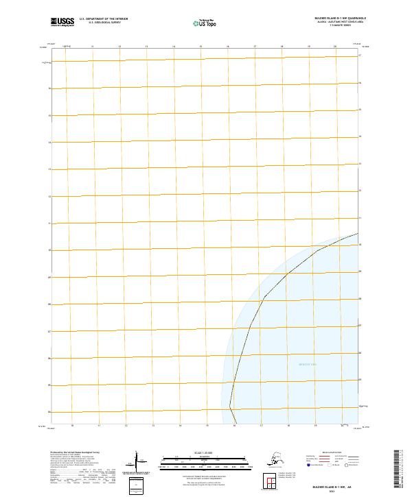
The Bering Sea occupies the southeastern corner of this maritime chart, where the open water meets the designated boundaries of t90s r247w. Produced as part of the modern US Topo series, this sheet focuses on the aquatic expanse and the Public Land Survey System divisions in the remote Aleutian chain. The lack of terrestrial features highlights the logistical and navigational character of this specific marine corridor, providing a clear view of the territorial grid lines used by agencies like the Bureau of Land Management to manage these northern waters.
Find a feature on this map
2 named features on this map. Tap any name to fly to it.
Don’t see what you’re looking for? This feature index may not catch every label — zoom into the map to look around manually.
Map Details
Editions of this 2021 Buldier Island B-1 NW Map
This is the sole edition of this map. No revisions or reprints were ever made.