Loading...
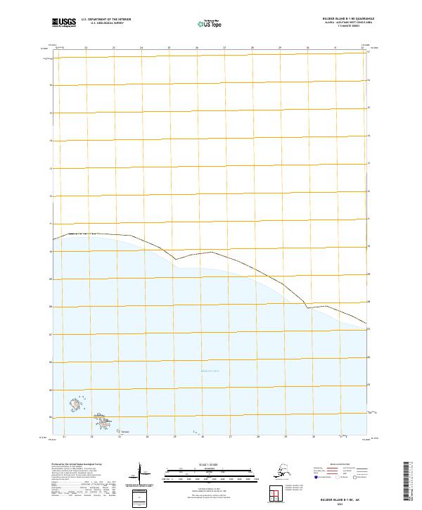
Loading map...2021 Map of Buldier Island B-1 NE
USGS Topo · Published 2021About this map
The Bering Sea dominates the southern portion of this remote Aleutian landscape, washing against the coastline of a few small, rocky formations. Located in the far reaches of the Aleutians West region, the map documents the distinct coastal terrain features of Sanguhmax, Unaluugamax, and Tamalax. These isolated points suggest the rugged volcanic geology characteristic of the island chain, where sea-level landforms are often named in the indigenous Aleut language.
Find a feature on this map
6 named features on this map. Tap any name to fly to it.
Don’t see what you’re looking for? This feature index may not catch every label — zoom into the map to look around manually.
Map Details
Date Portrayed2021
Date Published2021
PublisherU.S. Geological Survey
Map TypeTopographic
Scale1:25,000
Physical Dimensions24 x 29 inches
Editions of this 2021 Buldier Island B-1 NE Map
This is the sole edition of this map. No revisions or reprints were ever made.
Other maps of this area
Featured Places
Source Details
SourceU.S. Geological Survey
CopyrightPublic Domain