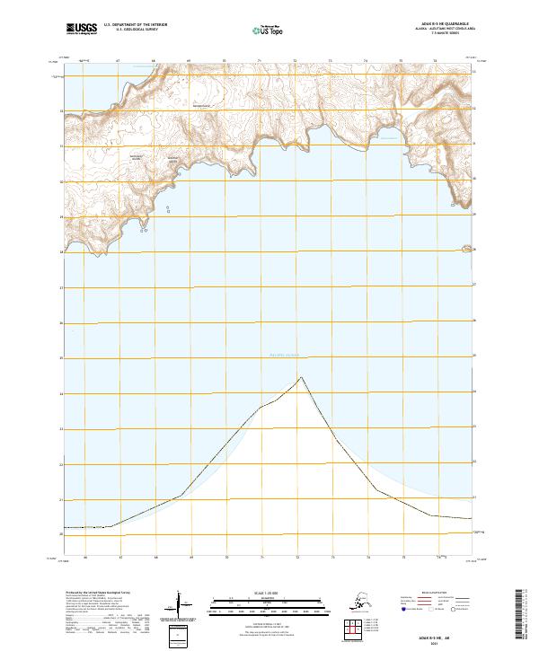
2021 Map of Adak B-5 NE
USGS Topo · Published 2021About this map
Kanaga Island forms the primary landmass in this coastal survey of the Andreanof Islands, part of the larger Aleutian Islands chain. The northern coastline is defined by distinctive coastal features such as Laazaram-biadaa and the inlet of Qaganaqnax, where the island's steep, volcanic terrain meets the Pacific Ocean. This high-resolution 2021 study provides a precise look at the remote topography of the region, emphasizing the dramatic elevation changes along the southern shores of the island. Beyond the shoreline, the map delineates the maritime expanse and the administrative framework of the Public Land Survey System, including sections within t97s r202w and t98s r202w.
Find a feature on this map
10 named features on this map. Tap any name to fly to it.
Don’t see what you’re looking for? This feature index may not catch every label — zoom into the map to look around manually.
Map Details
Editions of this 2021 Adak B-5 NE Map
This is the sole edition of this map. No revisions or reprints were ever made.
Other maps of this area

1951 · Adak
USGS Topo · 1:250,000

1954 · Adak
USGS Topo · 1:250,000

1957 · Adak
USGS Topo · 1:250,000

1967 · Adak
USGS Topo · 1:250,000

1983 · Adak
USGS Topo · 1:250,000
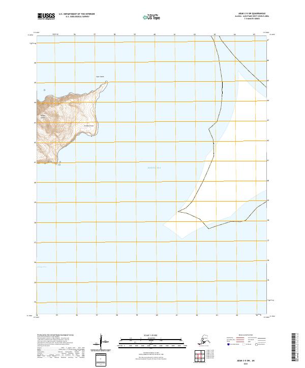
2021 · Adak C-5 SW
USGS Topo · 1:25,000
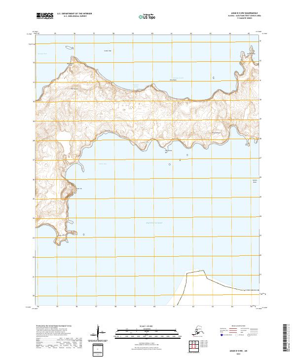
2021 · Adak B-5 NW
USGS Topo · 1:25,000
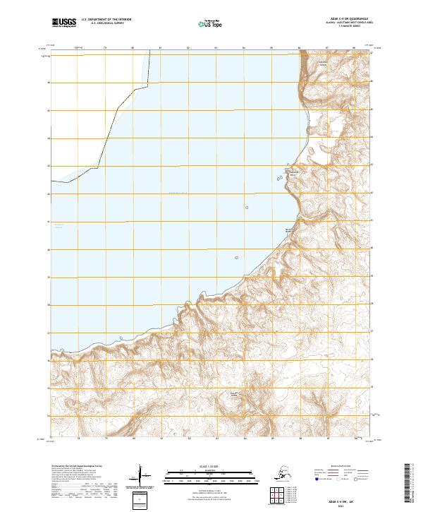
2021 · Adak C-4 SW
USGS Topo · 1:25,000
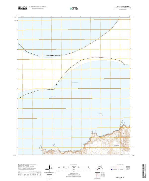
2021 · Adak C-5 SE
USGS Topo · 1:25,000
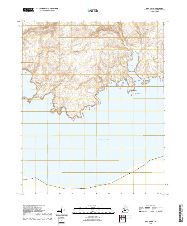
2021 · Adak B-4 NW
USGS Topo · 1:25,000