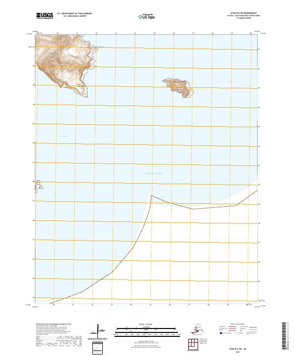
2021 Map of Atka B-6 SW
USGS Topo · Published 2021About this map
Umak Island dominates the northern reaches of this maritime survey, its mountainous terrain rising sharply from the waters of the Pacific Ocean. This remote corner of the Aleutians West Census Area provides a clear view of the navigational landmarks essential for seafaring, including Reach Point and the prominent Cape Agumsadak. The map captures the isolation of the island chains, showing the relationship between larger landmasses and smaller outcroppings like Anagaksik Island to the east. South of the main island, the Umak Pass serves as a critical waterway. To the west, the coastline of Little Tanaga Island appears with the distinct marker of Cape Azamis, illustrating the complex coastal geography of these volcanic islands in the early twenty-first century.
Find a feature on this map
11 named features on this map. Tap any name to fly to it.
Don’t see what you’re looking for? This feature index may not catch every label — zoom into the map to look around manually.
Map Details
Editions of this 2021 Atka B-6 SW Map
This is the sole edition of this map. No revisions or reprints were ever made.
Other maps of this area

1951 · Adak
USGS Topo · 1:250,000

1952 · Atka
USGS Topo · 1:250,000

1954 · Adak
USGS Topo · 1:250,000

1957 · Adak
USGS Topo · 1:250,000

1959 · Atka
USGS Topo · 1:250,000

1967 · Adak
USGS Topo · 1:250,000

1983 · Adak
USGS Topo · 1:250,000
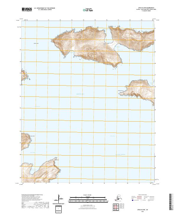
2021 · Atka B-6 NW
USGS Topo · 1:25,000
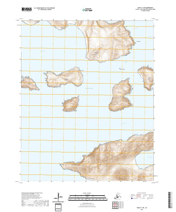
2021 · Adak C-1 NE
USGS Topo · 1:25,000
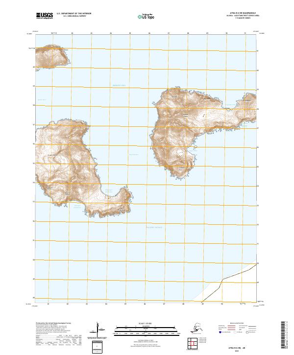
2021 · Atka B-6 NE
USGS Topo · 1:25,000