Loading...
Loading map...2021 Map of Atka B-6 NE
USGS Topo · Published 2021About this map
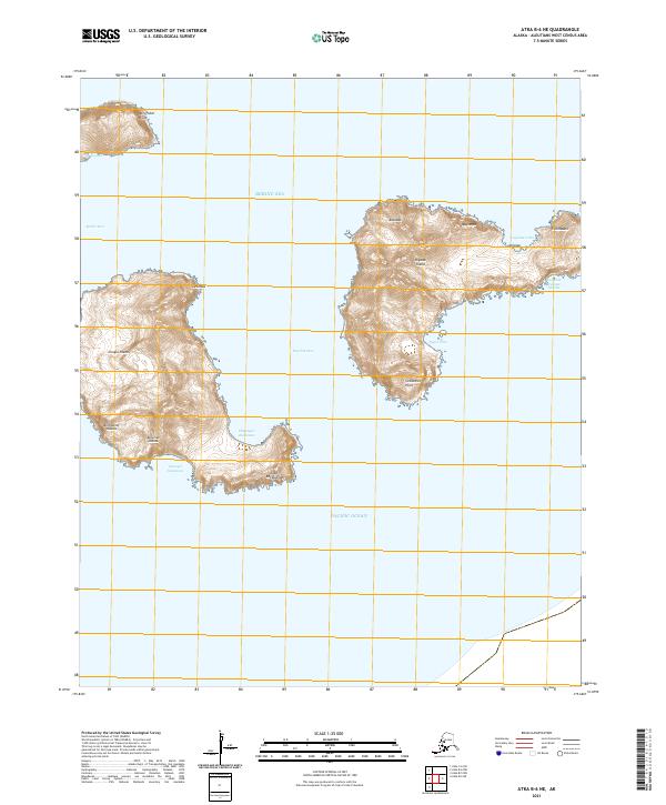
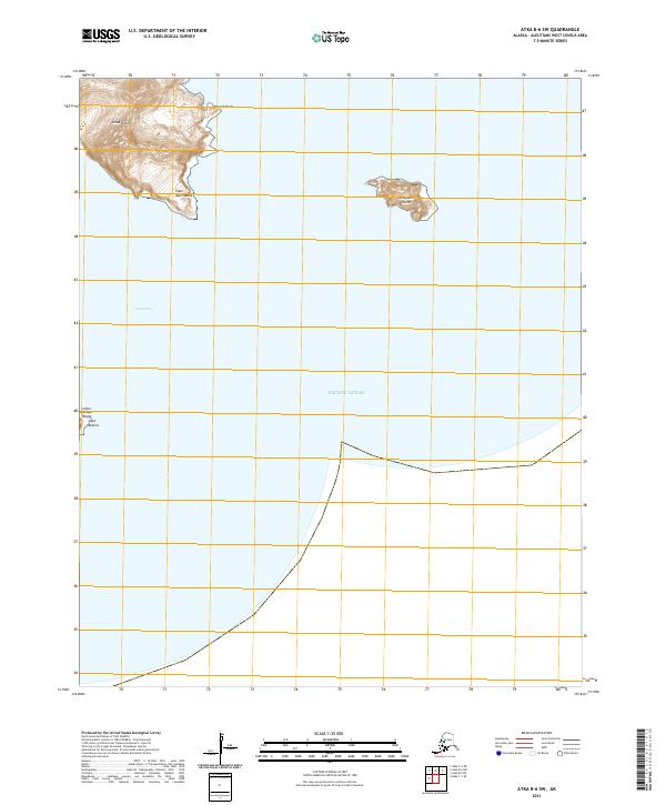
Tagalak Island and the eastern portion of Chusul Island dominate this survey of the Andreanof Islands chain in the remote Aleutians. Separated by the waters of Tagalak Pass, these landmasses represent the precarious interface between the Bering Sea to the north and the Pacific Ocean to the south. The terrain is defined by dramatic coastal features such as Cathedral Point and Cape Kagaluu, alongside traditionally named points like Aatudax and Qasnaqax.
Find a feature on this map
26 named features on this map. Tap any name to fly to it.
Don’t see what you’re looking for? This feature index may not catch every label — zoom into the map to look around manually.
Map Details
Date Portrayed2021
Date Published2021
PublisherU.S. Geological Survey
Map TypeTopographic
Scale1:25,000
Physical Dimensions24 x 29 inches
Editions of this 2021 Atka B-6 NE Map
This is the sole edition of this map. No revisions or reprints were ever made.
Other maps of this area


Featured Places
Source Details
SourceU.S. Geological Survey
CopyrightPublic Domain