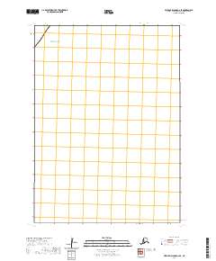
2020 Map of Pribilof Islands A-2 SE
USGS Topo · Published 2020About this map
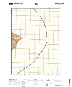
The Bering Sea dominates the northwest corner of this maritime chart within the Pribilof Islands. As a modern data product from the U.S. Geological Survey, the map focuses on the precise offshore coordinates of the Bering Sea and the surrounding marine environment. The lack of terrestrial labels or named land features underscores the open-water nature of this specific quadrangle, making it a specialized reference for the waters of the Aleutians West Census Area. It serves as a stark cartographic record of a remote Alaskan maritime corridor, defined by the Public Land Survey System grid of t42s r129w.
Find a feature on this map
12 named features on this map. Tap any name to fly to it.
Don’t see what you’re looking for? This feature index may not catch every label — zoom into the map to look around manually.
Map Details
Editions of this 2020 Pribilof Islands A-2 SE Map
This is the sole edition of this map. No revisions or reprints were ever made.
Other maps of this area
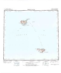
1948 · Pribilof Islands
USGS Topo · 1:250,000
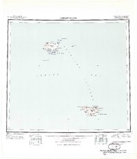
1949 · Pribilof Islands
USGS Topo · 1:250,000
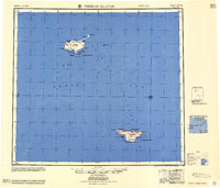
1958 · Pribilof Islands
USGS Topo · 1:250,000
1969 · Pribilof Islands
USGS Topo · 1:250,000
2001 · Saint George Island East
USGS Topo · 1:25,000
2020 · Pribilof Islands A-2 NW
USGS Topo · 1:25,000
2020 · Pribilof Islands A-2 SW
USGS Topo · 1:25,000
2020 · Pribilof Islands A-2 NE
USGS Topo · 1:25,000