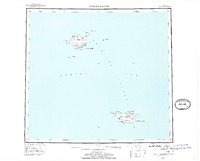
1948 Map of Pribilof Islands
USGS Topo · Published 1973About this map
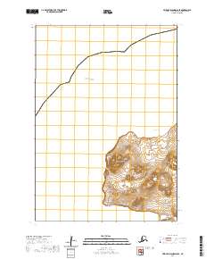
The Pribilof Islands emerge from the Bering Sea in this topographical record, centered on the remote communities of St Paul and St George. Compiled from hydrographic and Treasury Department charts dating back to 1898, the map illustrates the delicate geography of St. Paul Island and St. George Island, along with smaller neighbors like Walrus Island and Otter Island. The landscape is defined by its volcanic legacy, featuring numerous cinder cones and hills such as Bogoslof Hill, Rush Hill, and Ulakaia Hill. Inland, numerous small basins form bodies like Webster L and Atka L. The presence of the Landing Strip on St. Paul Island points to the mid-century strategic and logistical importance of these islands. Historically significant coastal features, including English Bay and North Anchorage, highlight the maritime connections essential for these isolated Bering Sea settlements.
Find a feature on this map
54 named features on this map. Tap any name to fly to it.
Don’t see what you’re looking for? This feature index may not catch every label — zoom into the map to look around manually.
Map Details
Editions of this 1948 Pribilof Islands Map
4 editions found
Other maps of this area
1948 · Pribilof Islands
USGS Topo · 1:250,000
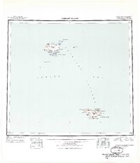
1949 · Pribilof Islands
USGS Topo · 1:250,000
1958 · Pribilof Islands
USGS Topo · 1:250,000
1969 · Pribilof Islands
USGS Topo · 1:250,000
2001 · Saint Paul Island East
USGS Topo · 1:25,000
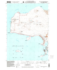
2001 · Saint Paul Island West
USGS Topo · 1:25,000
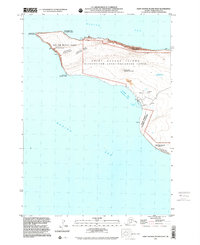
2001 · Saint George Island West
USGS Topo · 1:25,000
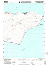
2001 · Saint George Island East
USGS Topo · 1:25,000
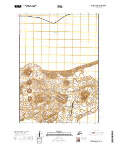
2020 · Pribilof Islands D-4 SW
USGS Topo · 1:25,000
2020 · Pribilof Islands D-5 SE
USGS Topo · 1:25,000