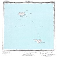
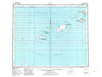
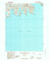
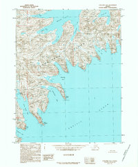
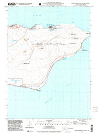
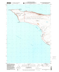
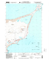
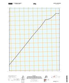
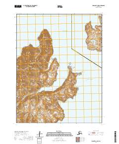
1948 Map of Pribilof Islands
USGS Topo · Published 1969About this map
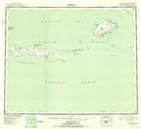
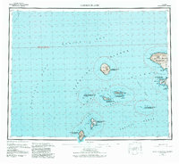
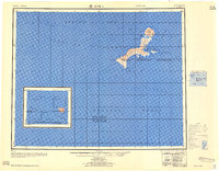
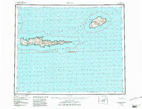
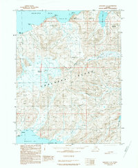
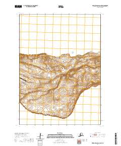
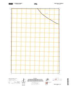
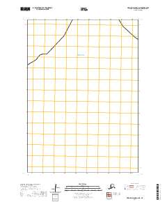
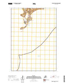
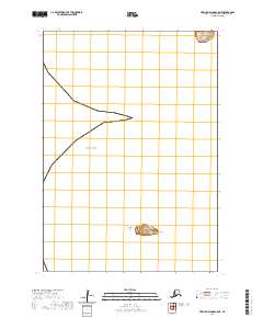
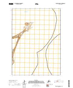
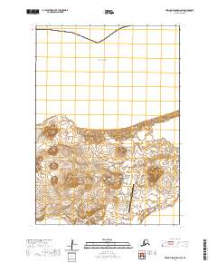
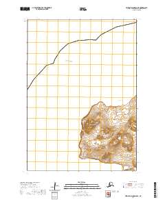
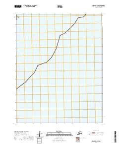
St. Paul Island and St. George Island dominate this survey of the remote Pribilof Islands in the Bering Sea, based on hydrographic data and 1898 Treasury Department charts. The map reveals the critical coastal infrastructure of the mid-20th century, including the Landing Strip and Village Cove near the settlement of St Paul. The landscape is defined by volcanic features such as Bogoslof Hill, Rush Hill, and Polovina Hill, surrounded by numerous small lakes like Antones L and Big Lake. The map captures the isolation of these islands, detailing naming conventions for coastal landmarks from the High Bluffs to Garden Cove. This edition preserves the 1948 geographic state of the islands, serving as a primary record of the terrain and small outposts like St. George before modern expansion, including satellite islands like Walrus Island and Otter Island.
Find a feature on this map
54 named features on this map. Tap any name to fly to it.
Don’t see what you’re looking for? This feature index may not catch every label — zoom into the map to look around manually.
Map Details
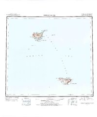
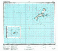
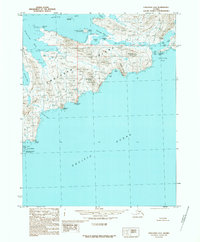
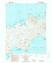
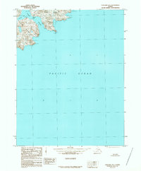
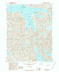
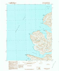
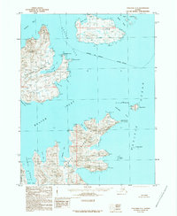
Editions of this 1948 Pribilof Islands Map
4 editions found
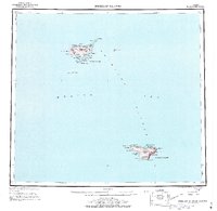
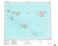
Historical Maps of St. Paul Through Time
320 maps found
1948 Pribilof Islands
Aleutians West Borough, AK

1949 Pribilof Islands
Aleutians West Borough, AK
1951 Amukta
Aleutians West Borough, AK

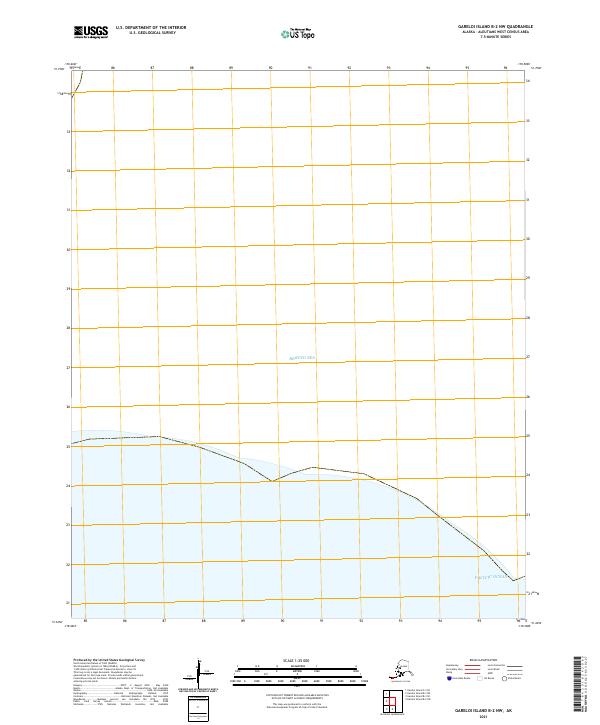
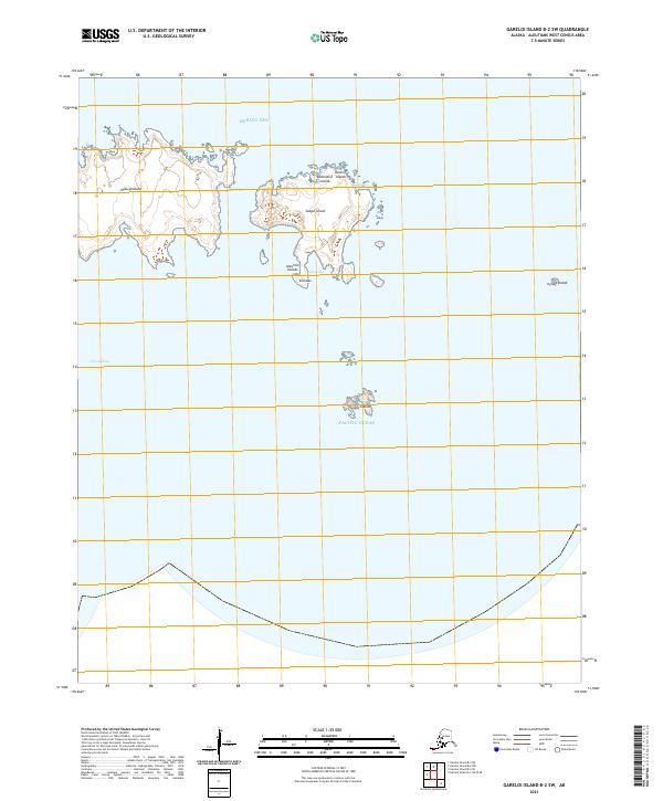
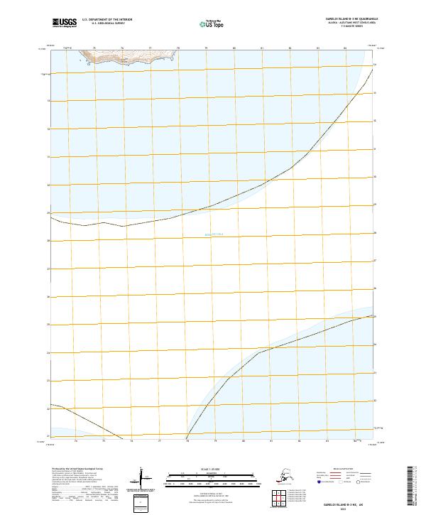
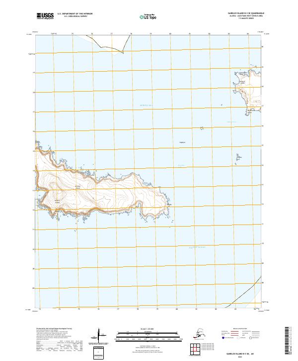
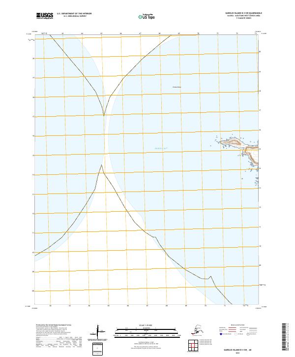
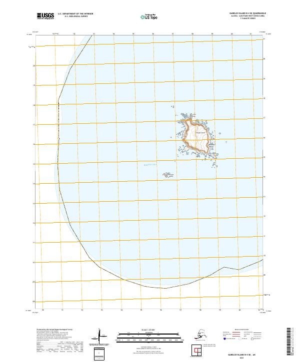
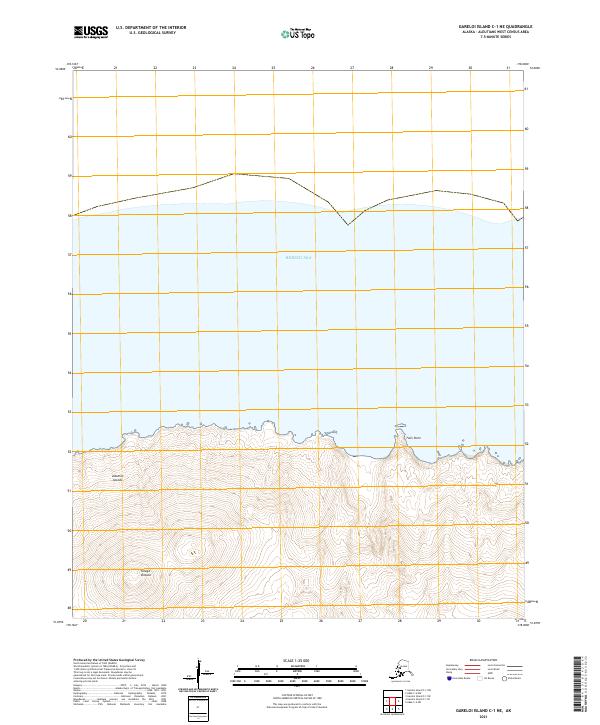
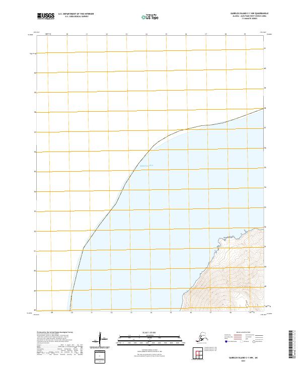
1951 Gareloi Island
Aleutians West Borough, AK
1951 Kiska
Aleutians West Borough, AK
1951 Rat Islands
Aleutians West Borough, AK
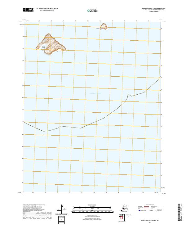
1951 Samalga Island
Aleutians West Borough, AK
1951 Seguam
Aleutians West Borough, AK
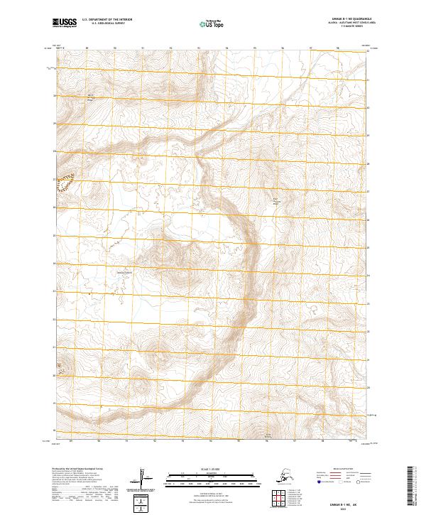
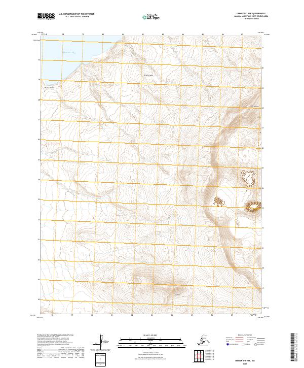
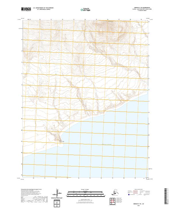
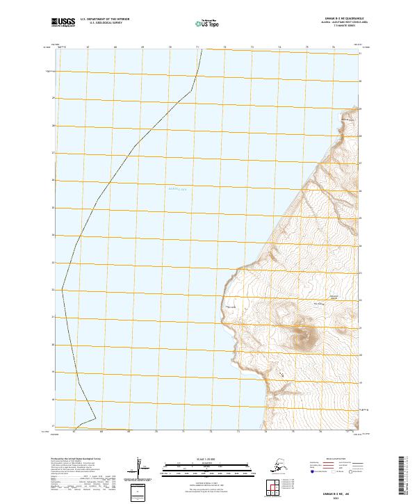
1951 Umnak
Aleutians West Borough, AK
1952 Attu
Aleutians West Borough, AK
1953 Attu
Aleutians West Borough, AK
1954 Gareloi Island
Aleutians West Borough, AK
1958 Kiska
Aleutians West Borough, AK

1958 Pribilof Islands
Aleutians West Borough, AK

1958 Samalga Island
Aleutians West Borough, AK
1958 Seguam
Aleutians West Borough, AK

1958 Umnak
Aleutians West Borough, AK

1969 Pribilof Islands
Aleutians West Borough, AK
1989 Unalaska A-2
Aleutians West Borough, AK
1989 Unalaska A-3
Aleutians West Borough, AK
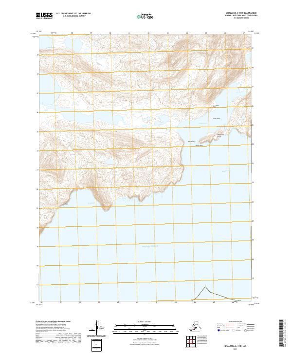
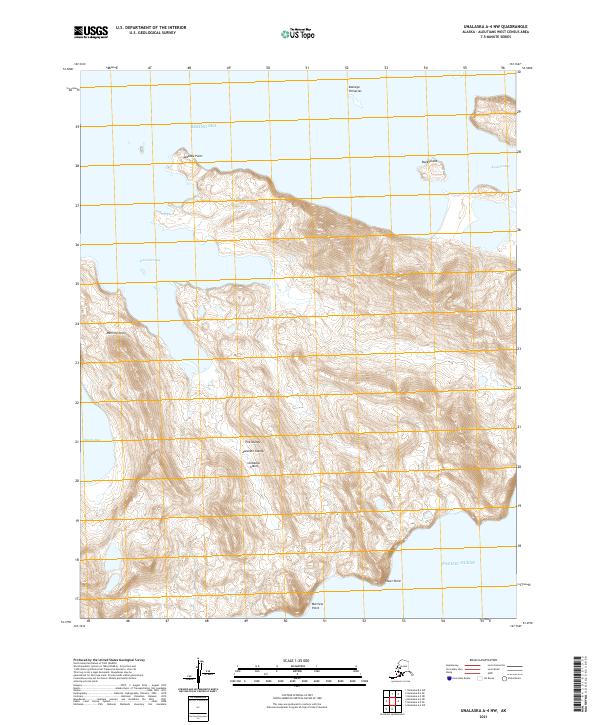
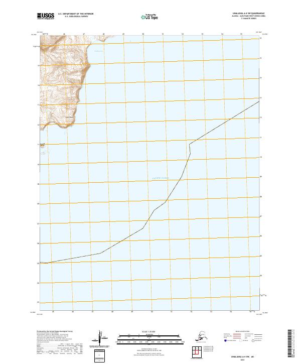
1989 Unalaska A-4
Aleutians West Borough, AK
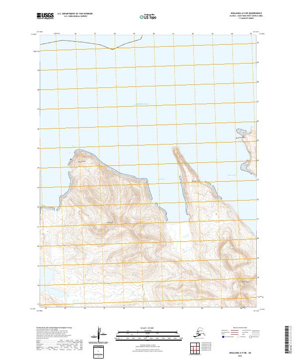
1989 Unalaska A-5
Aleutians West Borough, AK
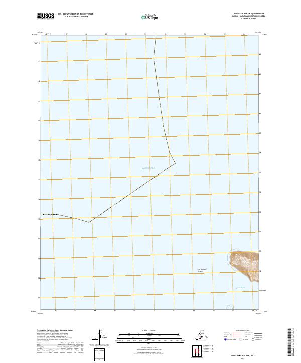
1989 Unalaska B-1
Aleutians West Borough, AK
1989 Unalaska B-2
Aleutians West Borough, AK
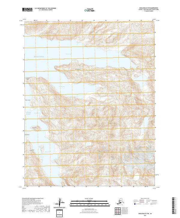
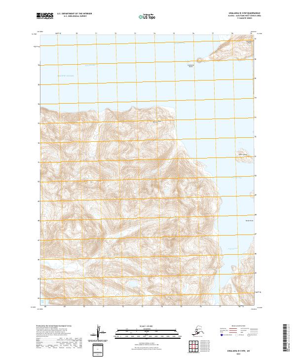
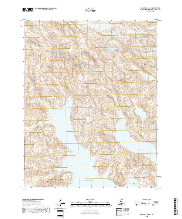
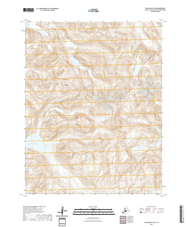
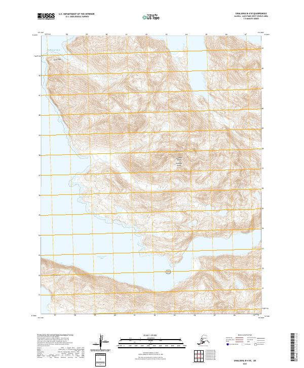
1989 Unalaska B-3
Aleutians West Borough, AK
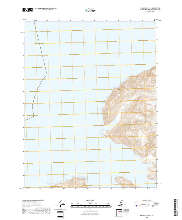
1989 Unalaska B-4
Aleutians West Borough, AK
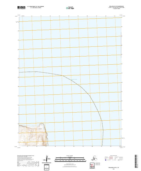
1989 Unalaska C-1
Aleutians West Borough, AK
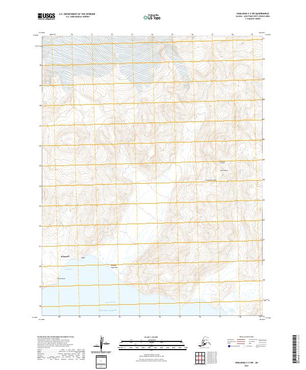
1989 Unalaska C-3
Aleutians West Borough, AK
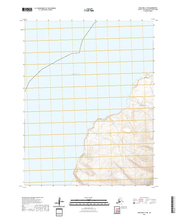
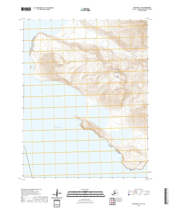
1989 Unalaska C-4
Aleutians West Borough, AK
1989 Unalaska D-2
Aleutians West Borough, AK
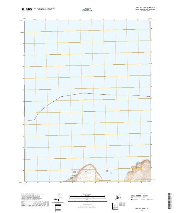
1989 Unalaska D-3
Aleutians West Borough, AK

1990 Unalaska C-2
Aleutians West Borough, AK
2001 Saint George Island East
Aleutians West Borough, AK
2001 Saint George Island West
Aleutians West Borough, AK
2001 Saint Paul Island East
Aleutians West Borough, AK

2001 Saint Paul Island West
Aleutians West Borough, AK
2020 Pribilof Islands A-2 NE
Aleutians West Borough, AK
2020 Pribilof Islands A-2 NW
Aleutians West Borough, AK
2020 Pribilof Islands A-2 SE
Aleutians West Borough, AK
2020 Pribilof Islands A-2 SW
Aleutians West Borough, AK
2020 Pribilof Islands A-3 NE
Aleutians West Borough, AK
2020 Pribilof Islands A-3 SE
Aleutians West Borough, AK

2020 Pribilof Islands C-3 NW
Aleutians West Borough, AK
2020 Pribilof Islands C-4 NE
Aleutians West Borough, AK
2020 Pribilof Islands C-4 NW
Aleutians West Borough, AK
2020 Pribilof Islands C-5 NE
Aleutians West Borough, AK
2020 Pribilof Islands D-4 SE
Aleutians West Borough, AK
2020 Pribilof Islands D-4 SW
Aleutians West Borough, AK
2020 Pribilof Islands D-5 SE
Aleutians West Borough, AK
2020 Unalaska B-1 NE
Aleutians West Borough, AK
2020 Unalaska B-2 SE
Aleutians West Borough, AK
2020 Unalaska C-1 NW
Aleutians West Borough, AK
2020 Unalaska D-2 SE
Aleutians West Borough, AK
2020 Unalaska D-2 SW
Aleutians West Borough, AK
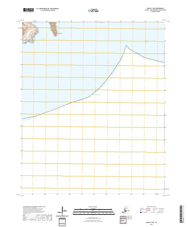
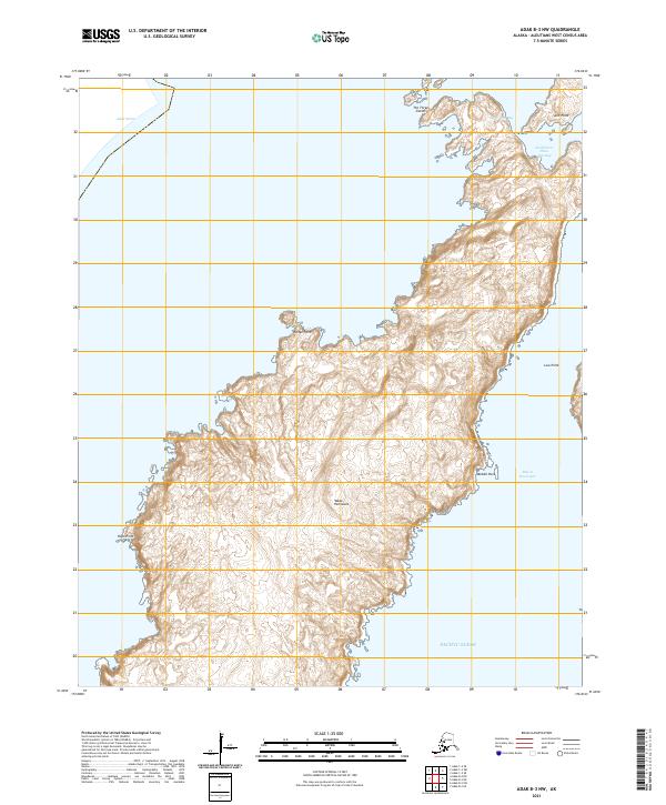
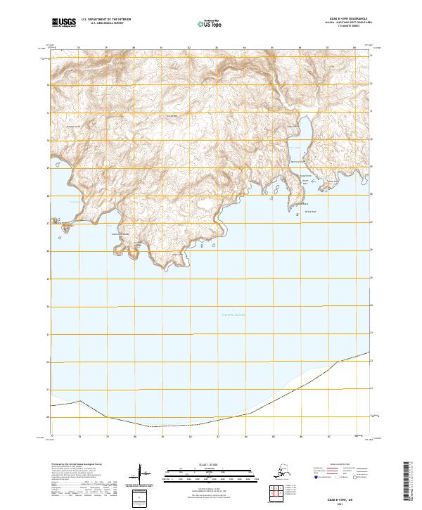
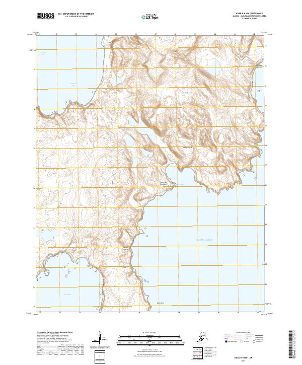
2021 Adak B-1 NW
Aleutians West Borough, AK
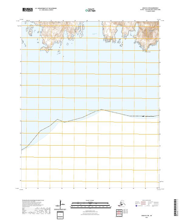
2021 Adak B-2 NE
Aleutians West Borough, AK
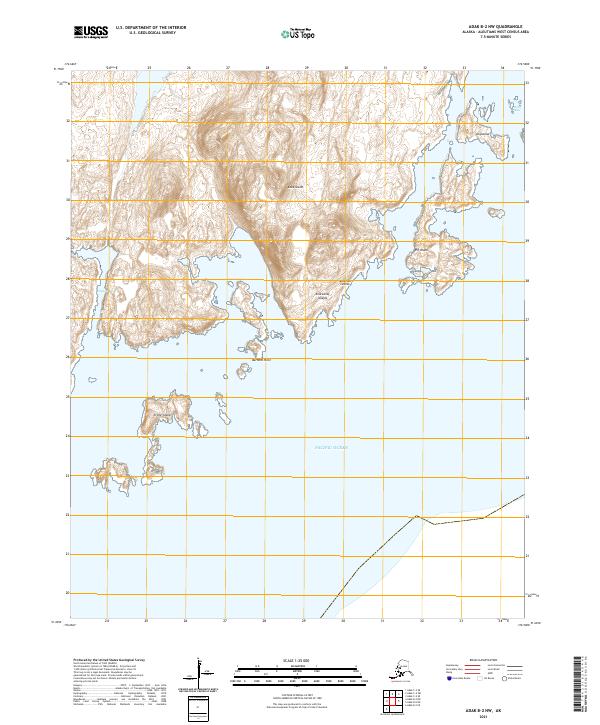
2021 Adak B-2 NW
Aleutians West Borough, AK
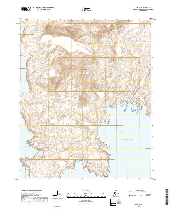
2021 Adak B-3 NE
Aleutians West Borough, AK
2021 Adak B-3 NW
Aleutians West Borough, AK
2021 Adak B-3 SE
Aleutians West Borough, AK
2021 Adak B-3 SW
Aleutians West Borough, AK
2021 Adak B-4 NE
Aleutians West Borough, AK
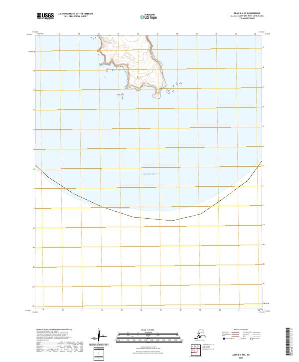
2021 Adak B-4 NW
Aleutians West Borough, AK
2021 Adak B-5 NE
Aleutians West Borough, AK
2021 Adak B-5 NW
Aleutians West Borough, AK
2021 Adak B-6 NE
Aleutians West Borough, AK
2021 Adak B-6 NW
Aleutians West Borough, AK
2021 Adak B-6 SW
Aleutians West Borough, AK
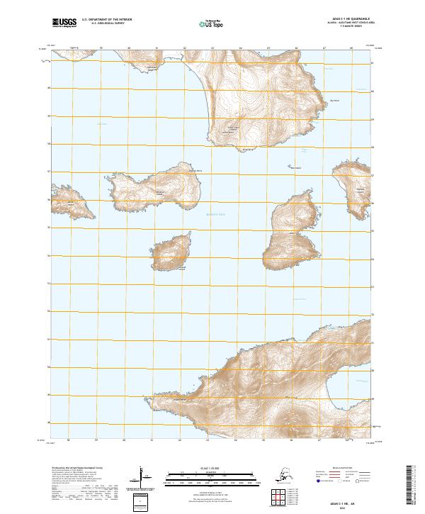
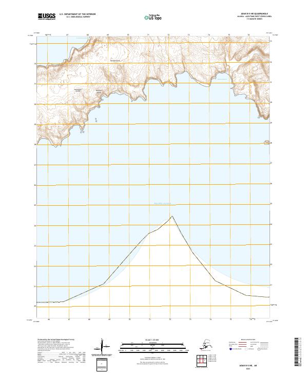
2021 Adak C-1 NE
Aleutians West Borough, AK
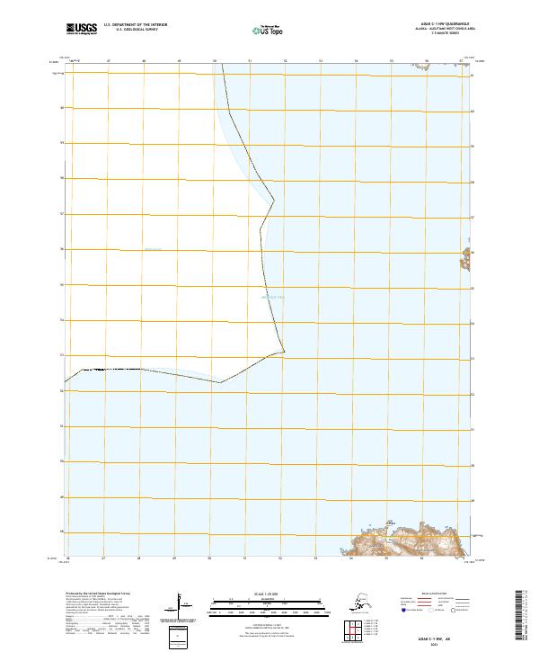
2021 Adak C-1 NW
Aleutians West Borough, AK
2021 Adak C-1 SE
Aleutians West Borough, AK
2021 Adak C-1 SW
Aleutians West Borough, AK

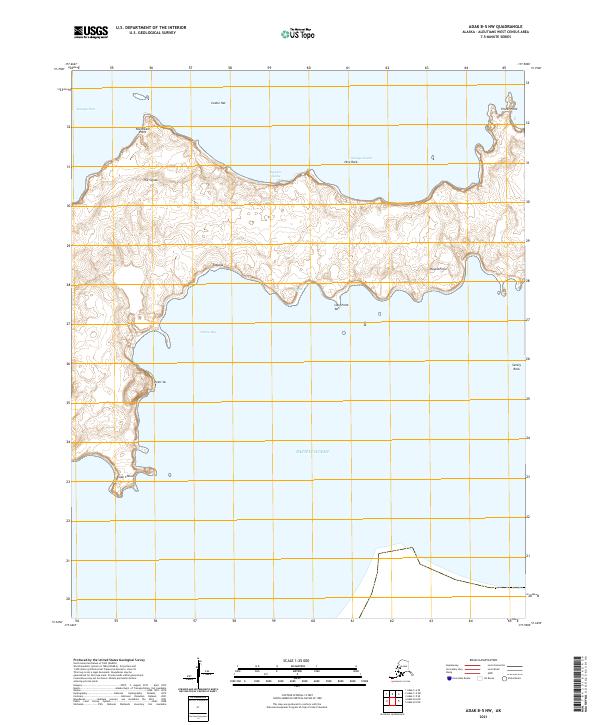
2021 Adak C-2 NW
Aleutians West Borough, AK
2021 Adak C-2 OE N SW
Aleutians West Borough, AK
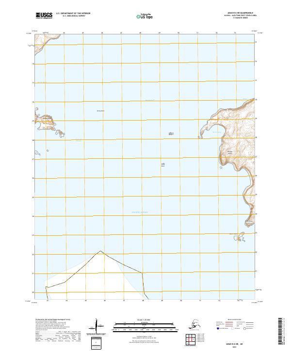
2021 Adak C-2 SE
Aleutians West Borough, AK

2021 Adak C-2 SW
Aleutians West Borough, AK

2021 Adak C-3 NE
Aleutians West Borough, AK

2021 Adak C-3 SE
Aleutians West Borough, AK
2021 Adak C-3 SW
Aleutians West Borough, AK
2021 Adak C-4 NE
Aleutians West Borough, AK
2021 Adak C-4 NW
Aleutians West Borough, AK
2021 Adak C-4 SE
Aleutians West Borough, AK
2021 Adak C-4 SW
Aleutians West Borough, AK
2021 Adak C-5 NE
Aleutians West Borough, AK
2021 Adak C-5 SE
Aleutians West Borough, AK
2021 Adak C-5 SW
Aleutians West Borough, AK
2021 Adak C-6 NW
Aleutians West Borough, AK
2021 Adak C-6 SE
Aleutians West Borough, AK
2021 Adak C-6 SW
Aleutians West Borough, AK
2021 Adak D-1 NW
Aleutians West Borough, AK
2021 Adak D-1 SE
Aleutians West Borough, AK

2021 Adak D-1 SW
Aleutians West Borough, AK
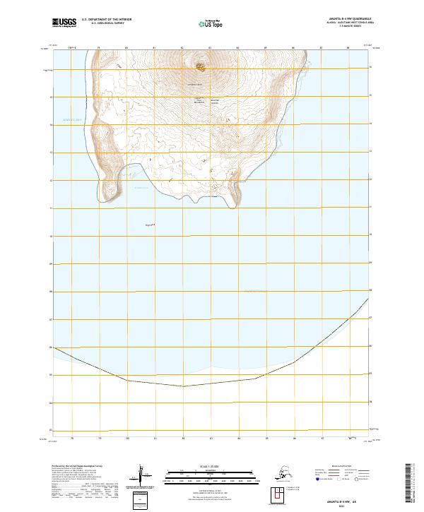
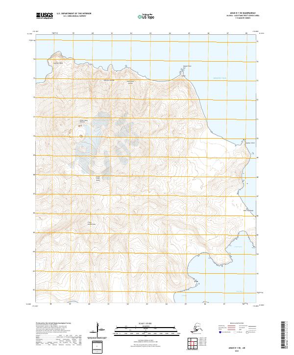
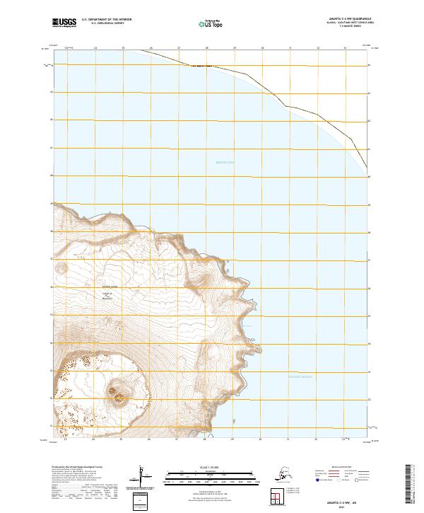
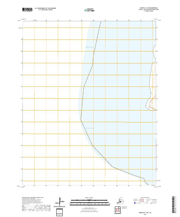
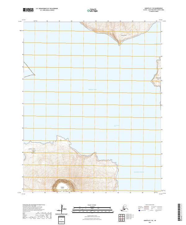
2021 Amukta B-4 NW
Aleutians West Borough, AK
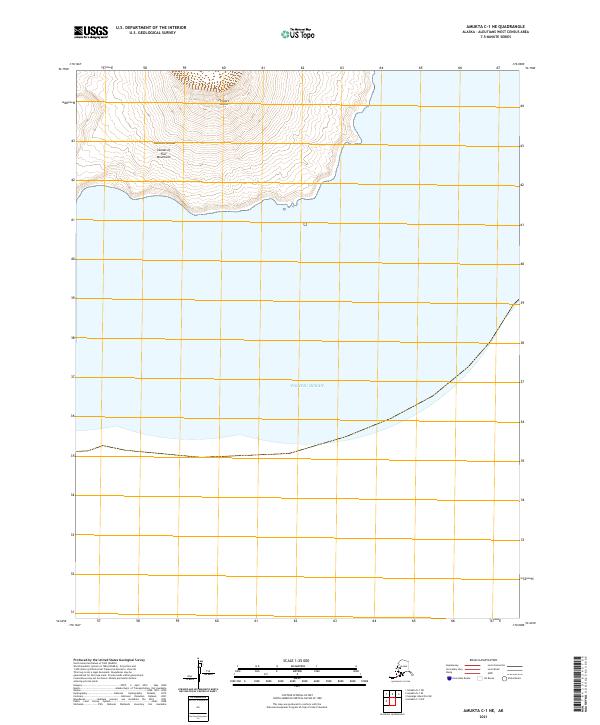
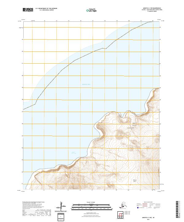
2021 Amukta C-1 NE
Aleutians West Borough, AK
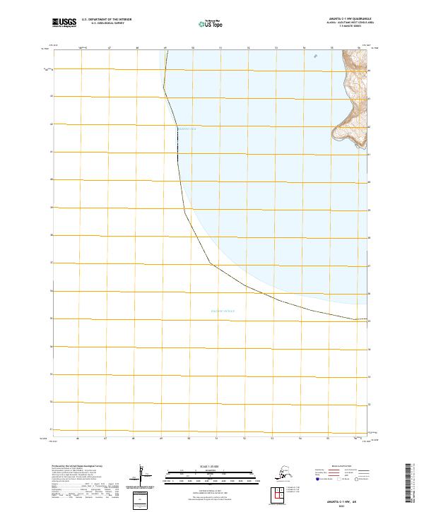
2021 Amukta C-1 NW
Aleutians West Borough, AK
2021 Amukta C-2 NW
Aleutians West Borough, AK
2021 Amukta C-2 SW
Aleutians West Borough, AK
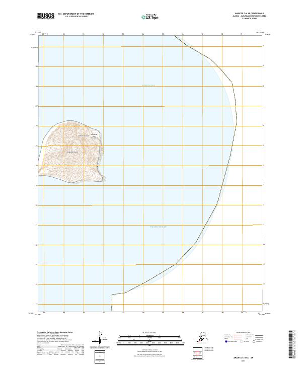
2021 Amukta C-3 NE
Aleutians West Borough, AK
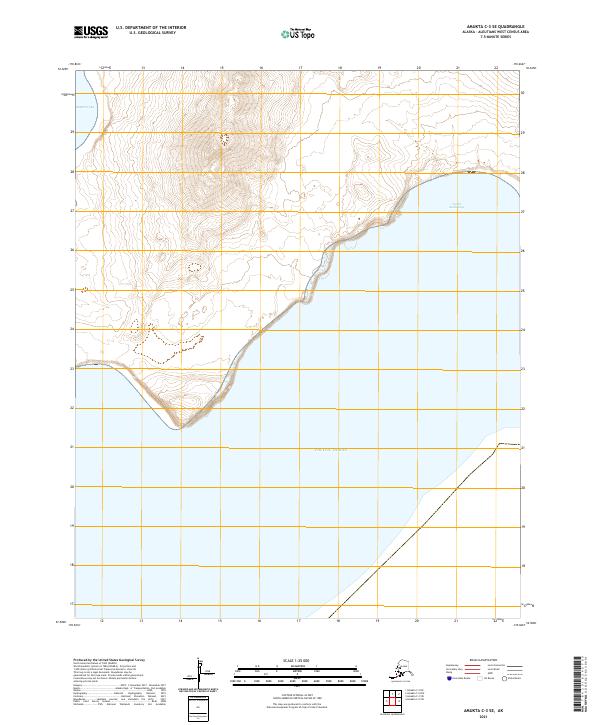
2021 Amukta C-3 SE
Aleutians West Borough, AK
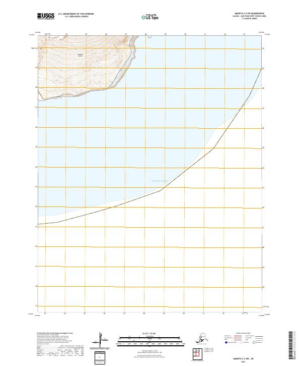
2021 Amukta C-3 SW
Aleutians West Borough, AK
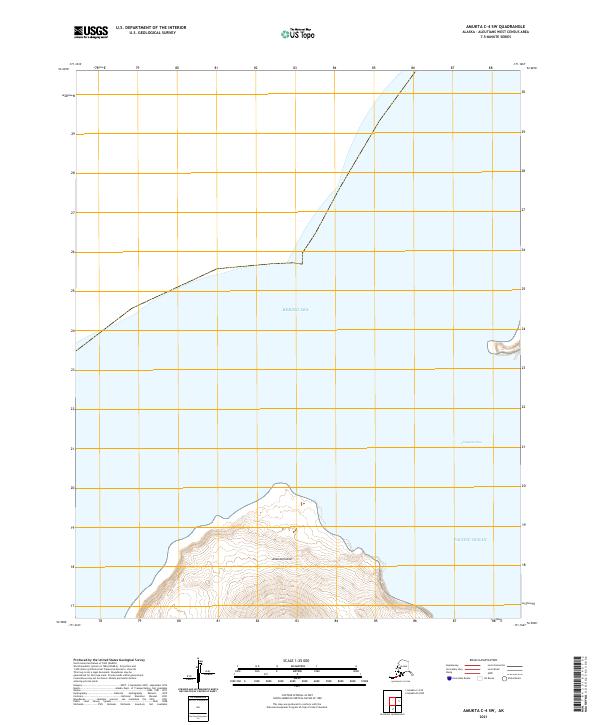
2021 Amukta C-4 SE
Aleutians West Borough, AK
2021 Amukta C-4 SW
Aleutians West Borough, AK
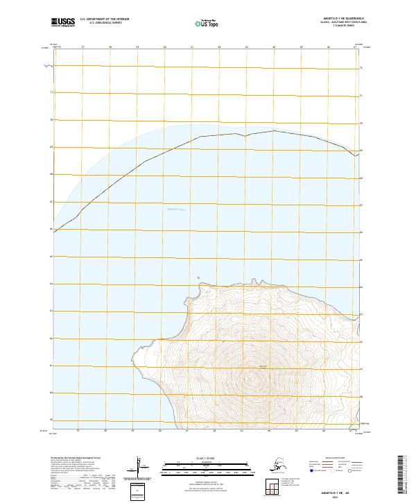
2021 Amukta D-1 NE
Aleutians West Borough, AK
2021 Amukta D-1 SE
Aleutians West Borough, AK
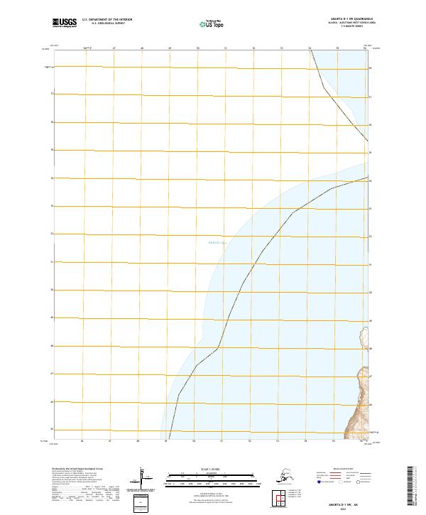
2021 Amukta D-1 SW
Aleutians West Borough, AK
2021 Atka B-5 NE
Aleutians West Borough, AK
2021 Atka B-5 NW
Aleutians West Borough, AK
2021 Atka B-6 NE
Aleutians West Borough, AK
2021 Atka B-6 NW
Aleutians West Borough, AK
2021 Atka B-6 SW
Aleutians West Borough, AK

2021 Atka C-1 NE
Aleutians West Borough, AK

2021 Atka C-1 NW
Aleutians West Borough, AK
2021 Atka C-1 SE
Aleutians West Borough, AK
2021 Atka C-1 SW
Aleutians West Borough, AK
2021 Atka C-2 NE
Aleutians West Borough, AK
2021 Atka C-2 NW
Aleutians West Borough, AK
2021 Atka C-2 SE
Aleutians West Borough, AK
2021 Atka C-2 SW
Aleutians West Borough, AK
2021 Atka C-3 SE
Aleutians West Borough, AK
2021 Atka C-3 SW
Aleutians West Borough, AK
2021 Atka C-4 SE
Aleutians West Borough, AK
2021 Atka C-4 SW
Aleutians West Borough, AK
2021 Atka C-5 NE
Aleutians West Borough, AK
2021 Atka C-5 NW
Aleutians West Borough, AK
2021 Atka C-5 SE
Aleutians West Borough, AK

2021 Atka C-6 SW
Aleutians West Borough, AK
2021 Atka D-1 NE
Aleutians West Borough, AK
2021 Atka D-1 NW
Aleutians West Borough, AK

2021 Atka D-1 SE
Aleutians West Borough, AK

2021 Atka D-1 SW
Aleutians West Borough, AK
2021 Atka D-2 NE
Aleutians West Borough, AK
2021 Atka D-2 SE
Aleutians West Borough, AK

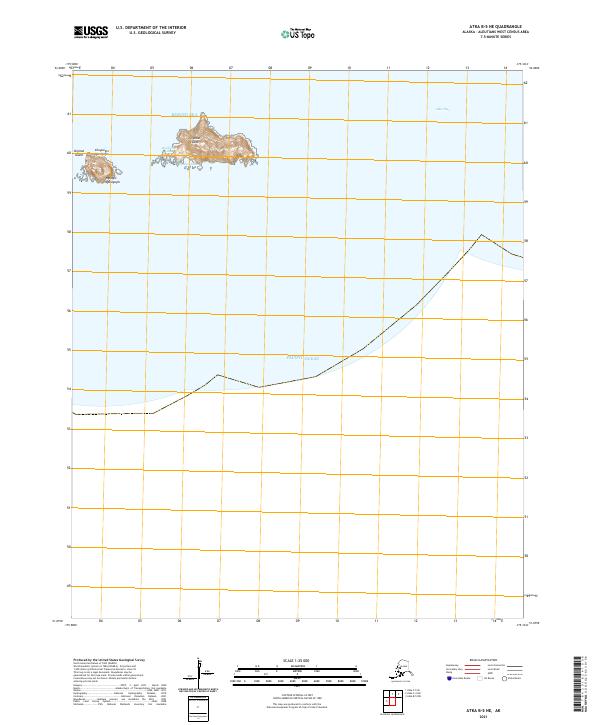
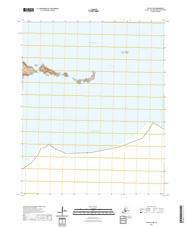
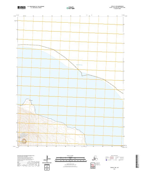
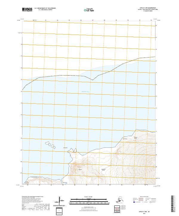
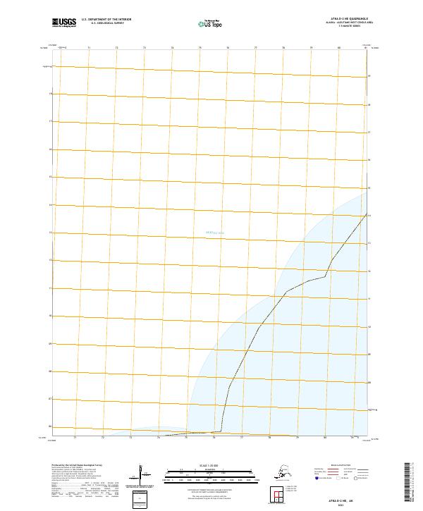
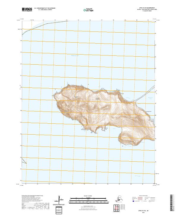
2021 Attu A-1 NW
Aleutians West Borough, AK
2021 Attu A-1 SW
Aleutians West Borough, AK
2021 Attu A-2 NE
Aleutians West Borough, AK
2021 Attu A-2 NW
Aleutians West Borough, AK
2021 Attu A-2 SE
Aleutians West Borough, AK
2021 Attu A-2 SW
Aleutians West Borough, AK
2021 Attu B-0 NW
Aleutians West Borough, AK
2021 Attu B-1 NE
Aleutians West Borough, AK
2021 Attu B-1 SW
Aleutians West Borough, AK
2021 Attu B-2 SE
Aleutians West Borough, AK
2021 Attu C-0 SW
Aleutians West Borough, AK
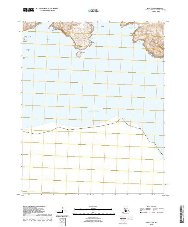
2021 Attu C-1 SE
Aleutians West Borough, AK
2021 Attu C-2 NW
Aleutians West Borough, AK
2021 Attu C-2 SW
Aleutians West Borough, AK

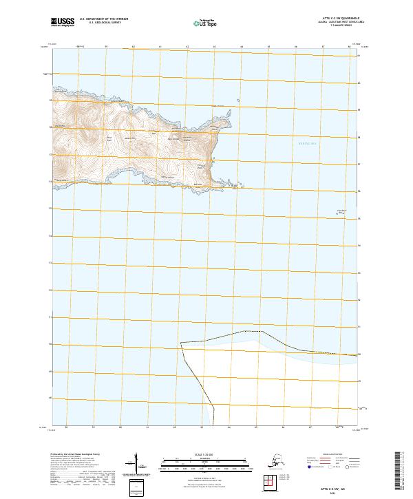
2021 Attu C-3 NE
Aleutians West Borough, AK
2021 Attu C-3 NW
Aleutians West Borough, AK
2021 Attu C-3 OE N SE
Aleutians West Borough, AK
2021 Attu C-3 OE N SW
Aleutians West Borough, AK
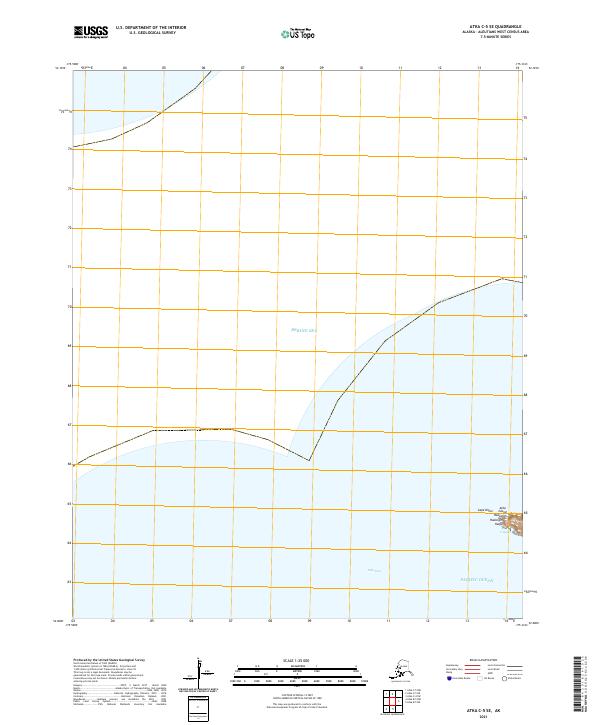
2021 Attu C-3 SE
Aleutians West Borough, AK
2021 Attu C-3 SW
Aleutians West Borough, AK
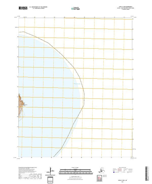
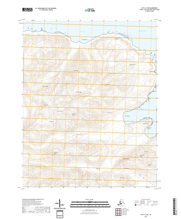
2021 Attu C-4 NE
Aleutians West Borough, AK
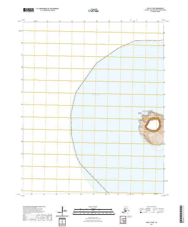
2021 Attu C-4 NW
Aleutians West Borough, AK
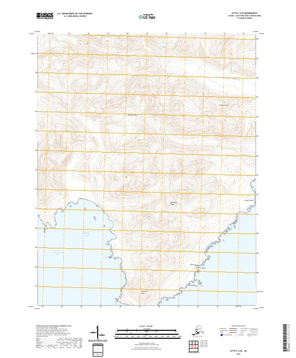
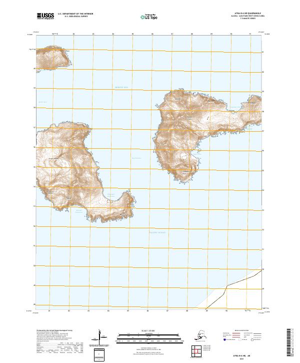
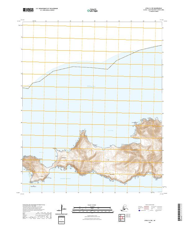
2021 Attu C-4 SE
Aleutians West Borough, AK
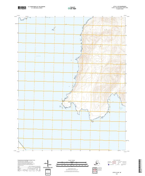
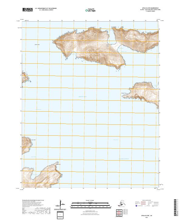
2021 Attu C-4 SW
Aleutians West Borough, AK
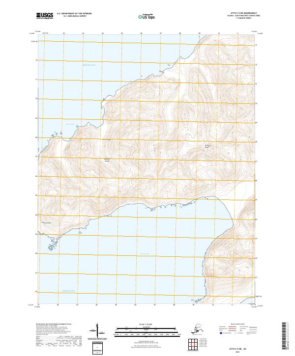
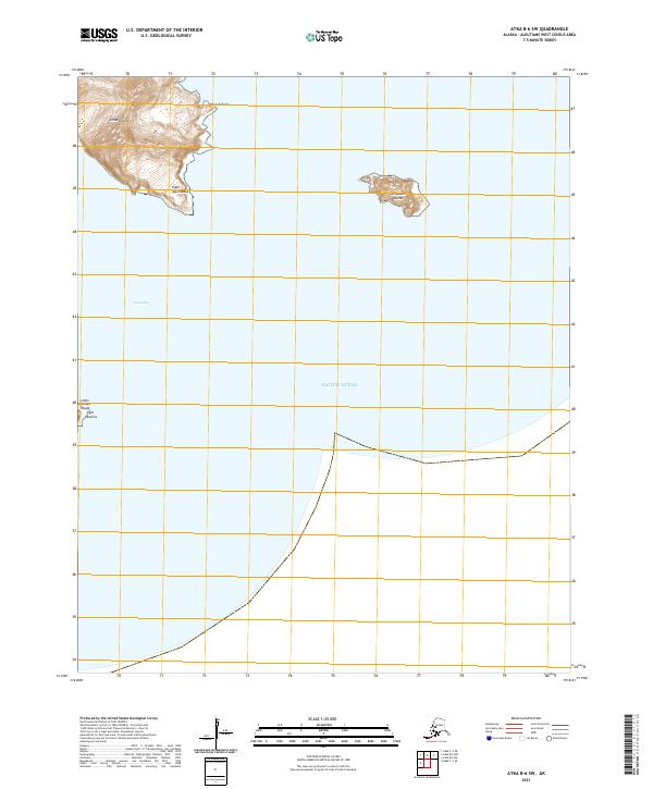
2021 Attu C-5 NE
Aleutians West Borough, AK
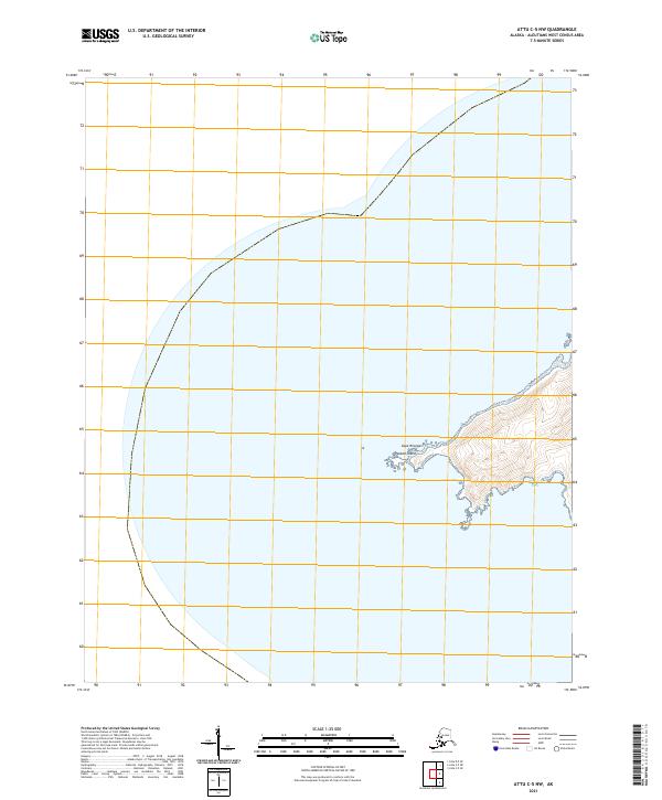
2021 Attu C-5 NW
Aleutians West Borough, AK
2021 Attu C-5 SE
Aleutians West Borough, AK
2021 Attu D-4 SE
Aleutians West Borough, AK
2021 Attu D-4 SW
Aleutians West Borough, AK
2021 Attu D-5 SE
Aleutians West Borough, AK
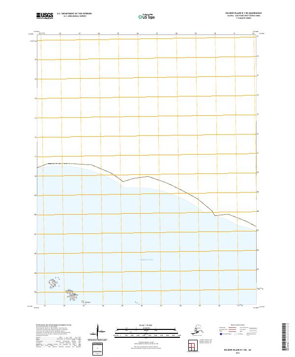
2021 Buldier Island B-1 NE
Aleutians West Borough, AK
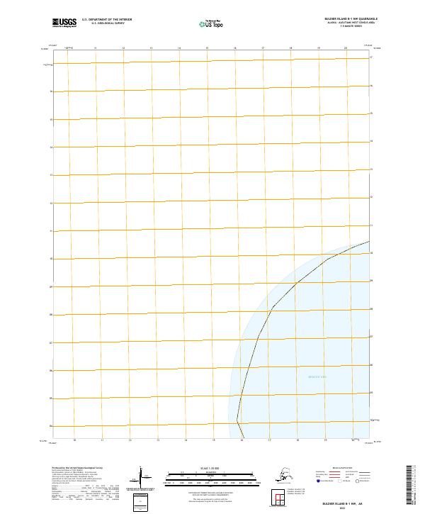
2021 Buldier Island B-1 NW
Aleutians West Borough, AK
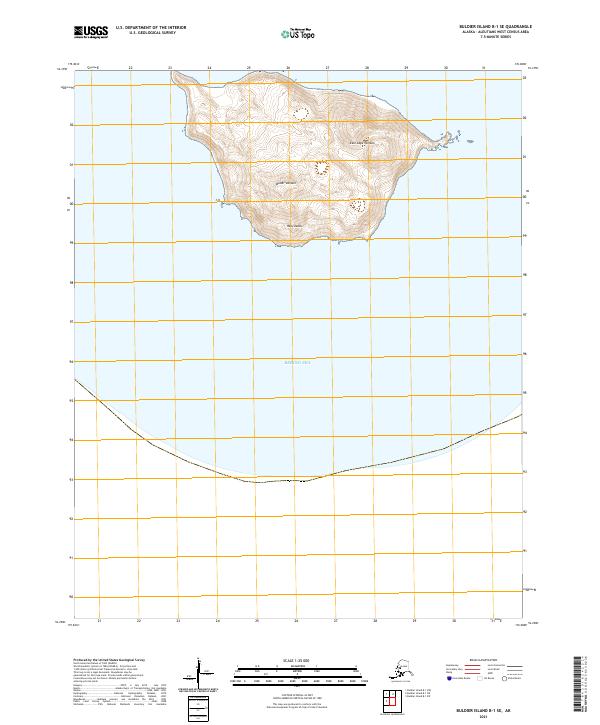
2021 Buldier Island B-1 SE
Aleutians West Borough, AK
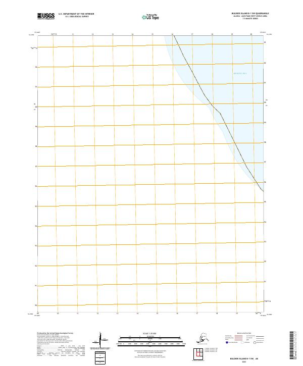
2021 Buldier Island B-1 SW
Aleutians West Borough, AK
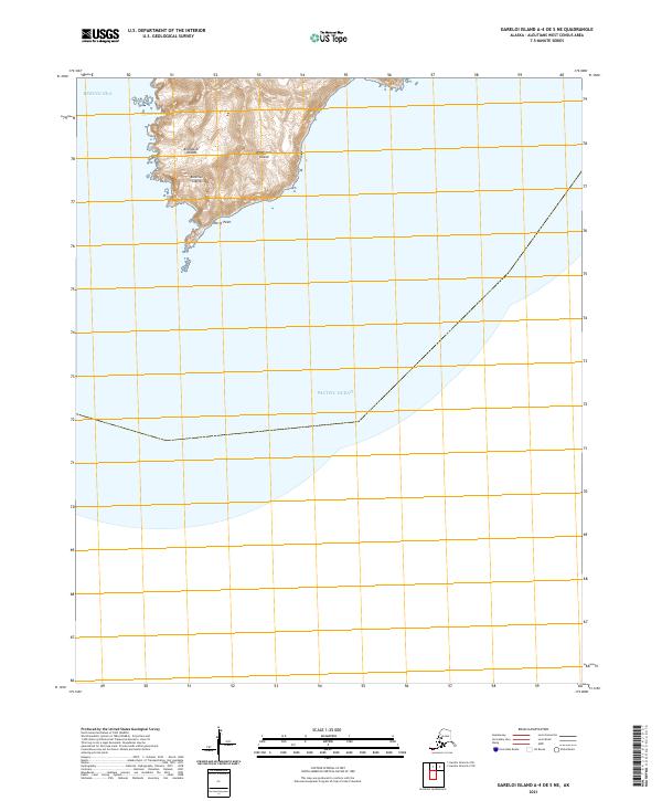
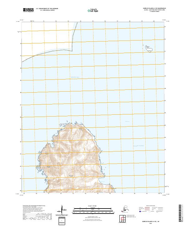
2021 Gareloi Island A-1 NW
Aleutians West Borough, AK
2021 Gareloi Island A-1 OE W NE
Aleutians West Borough, AK
2021 Gareloi Island A-3 NW
Aleutians West Borough, AK
2021 Gareloi Island A-3 SW
Aleutians West Borough, AK
2021 Gareloi Island A-4 OE S NE
Aleutians West Borough, AK
2021 Gareloi Island A-4 SE
Aleutians West Borough, AK
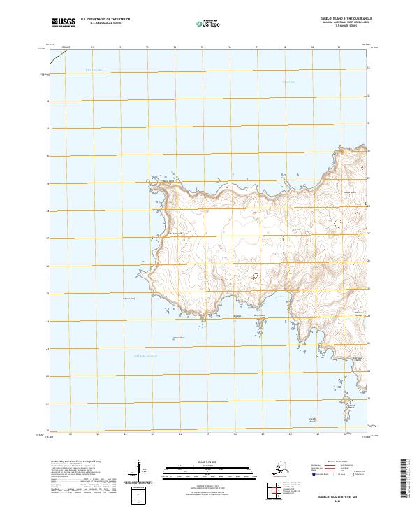
2021 Gareloi Island B-1 NE
Aleutians West Borough, AK
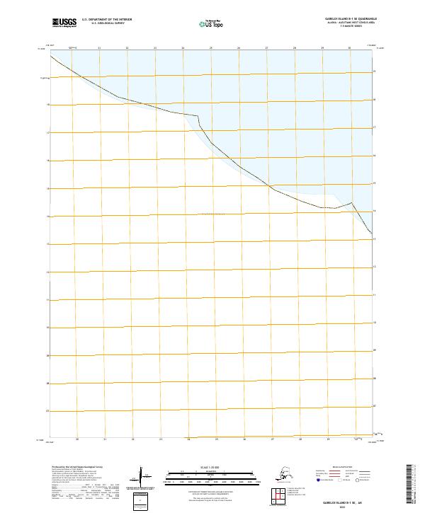
2021 Gareloi Island B-1 SE
Aleutians West Borough, AK
2021 Gareloi Island B-2 NW
Aleutians West Borough, AK
2021 Gareloi Island B-2 SW
Aleutians West Borough, AK
2021 Gareloi Island B-3 NE
Aleutians West Borough, AK
2021 Gareloi Island B-3 SE
Aleutians West Borough, AK
2021 Gareloi Island B-3 SW
Aleutians West Borough, AK
2021 Gareloi Island B-4 SE
Aleutians West Borough, AK
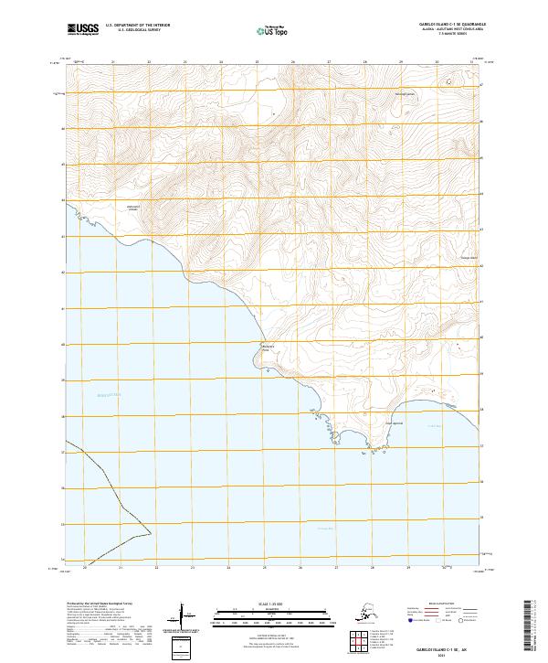
2021 Gareloi Island C-1 NE
Aleutians West Borough, AK
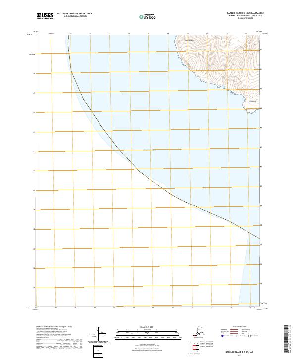
2021 Gareloi Island C-1 NW
Aleutians West Borough, AK
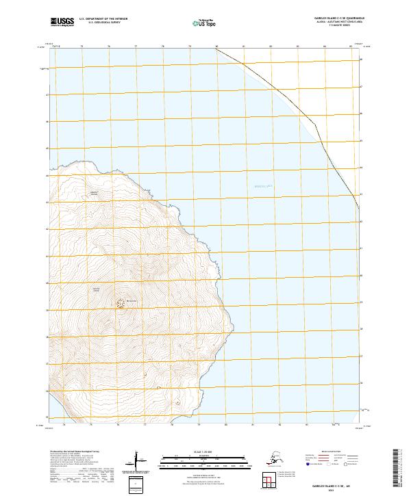
2021 Gareloi Island C-1 SE
Aleutians West Borough, AK
2021 Gareloi Island C-1 SW
Aleutians West Borough, AK
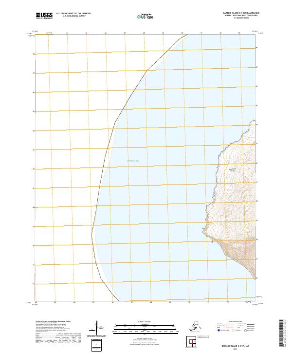
2021 Gareloi Island C-3 SE
Aleutians West Borough, AK
2021 Gareloi Island C-3 SW
Aleutians West Borough, AK
2021 Kiska C-1 NE
Aleutians West Borough, AK
2021 Kiska C-1 NW
Aleutians West Borough, AK
2021 Kiska C-2 NE
Aleutians West Borough, AK
2021 Kiska C-2 NW
Aleutians West Borough, AK
2021 Kiska C-2 SW
Aleutians West Borough, AK
2021 Kiska C-3 NE
Aleutians West Borough, AK
2021 Kiska C-3 SE
Aleutians West Borough, AK
2021 Kiska D-1 NW
Aleutians West Borough, AK
2021 Kiska D-1 SW
Aleutians West Borough, AK
2021 Kiska D-2 NE
Aleutians West Borough, AK
2021 Kiska D-2 SE
Aleutians West Borough, AK
2021 Kiska D-2 SW
Aleutians West Borough, AK
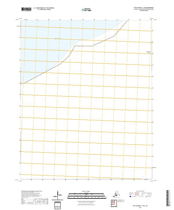
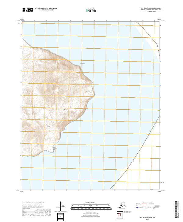
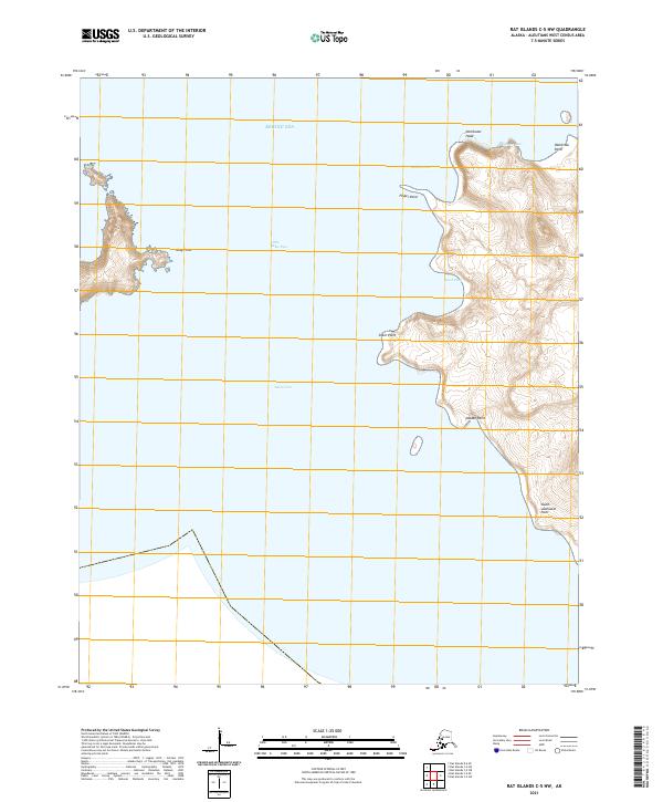
2021 Rat Islands A-2 NW
Aleutians West Borough, AK
2021 Rat Islands A-2 SE
Aleutians West Borough, AK
2021 Rat Islands A-2 SW
Aleutians West Borough, AK
2021 Rat Islands A-3 NE
Aleutians West Borough, AK
2021 Rat Islands A-3 NW
Aleutians West Borough, AK
2021 Rat Islands A-3 SE
Aleutians West Borough, AK
2021 Rat Islands B-3 SW
Aleutians West Borough, AK
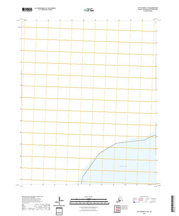
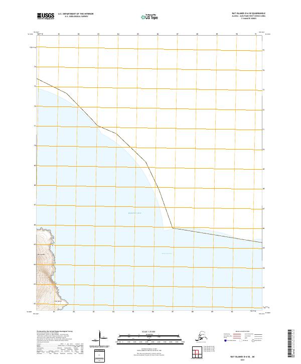
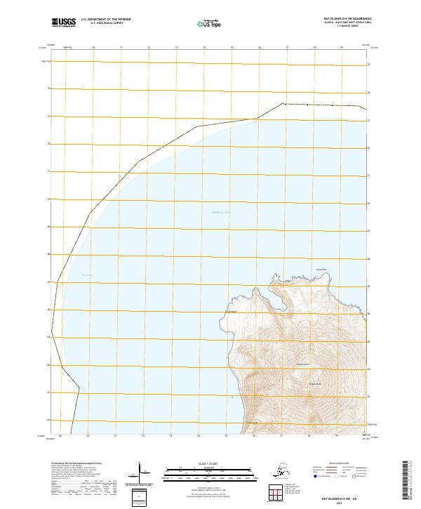
2021 Rat Islands B-4 NW
Aleutians West Borough, AK
2021 Rat Islands B-4 SE
Aleutians West Borough, AK
2021 Rat Islands B-4 SW
Aleutians West Borough, AK
2021 Rat Islands B-5 NE
Aleutians West Borough, AK
2021 Rat Islands B-5 SE
Aleutians West Borough, AK

2021 Rat Islands C-1 NW
Aleutians West Borough, AK
2021 Rat Islands C-1 SW
Aleutians West Borough, AK
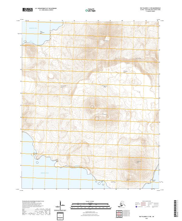
2021 Rat Islands C-2 NE
Aleutians West Borough, AK
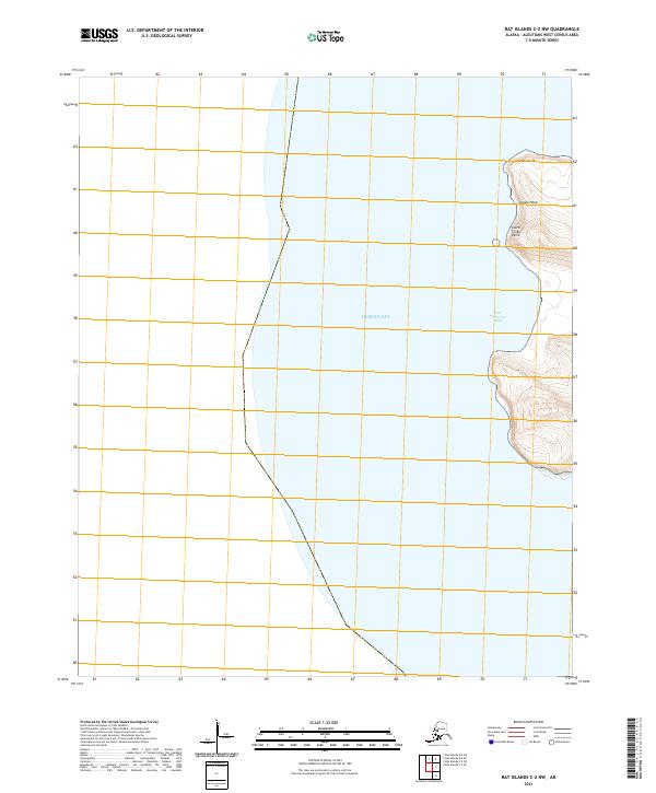
2021 Rat Islands C-2 NW
Aleutians West Borough, AK
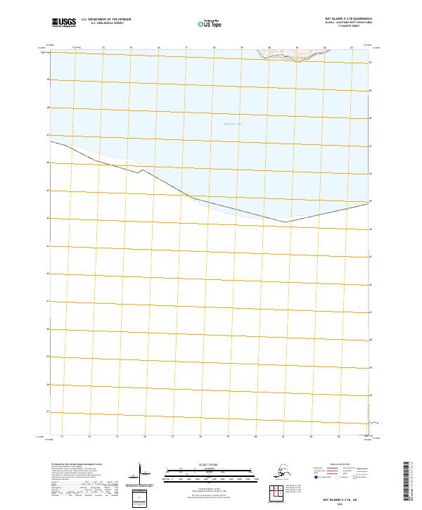
2021 Rat Islands C-2 SE
Aleutians West Borough, AK
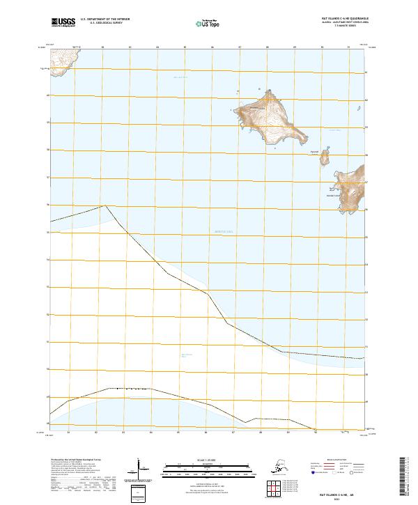
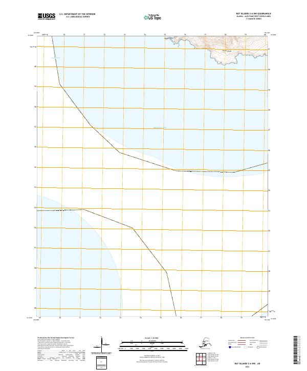
2021 Rat Islands C-5 NE
Aleutians West Borough, AK
2021 Rat Islands C-5 NW
Aleutians West Borough, AK
2021 Rat Islands C-5 SW
Aleutians West Borough, AK
2021 Rat Islands C-6 NE
Aleutians West Borough, AK
2021 Rat Islands C-6 NW
Aleutians West Borough, AK

2021 Rat Islands C-6 SE
Aleutians West Borough, AK
2021 Rat Islands D-1 SE
Aleutians West Borough, AK
2021 Rat Islands D-1 SW
Aleutians West Borough, AK
2021 Rat Islands D-2 SE
Aleutians West Borough, AK
2021 Rat Islands D-2 SW
Aleutians West Borough, AK
2021 Rat Islands D-6 SE
Aleutians West Borough, AK
2021 Rat Islands D-6 SW
Aleutians West Borough, AK
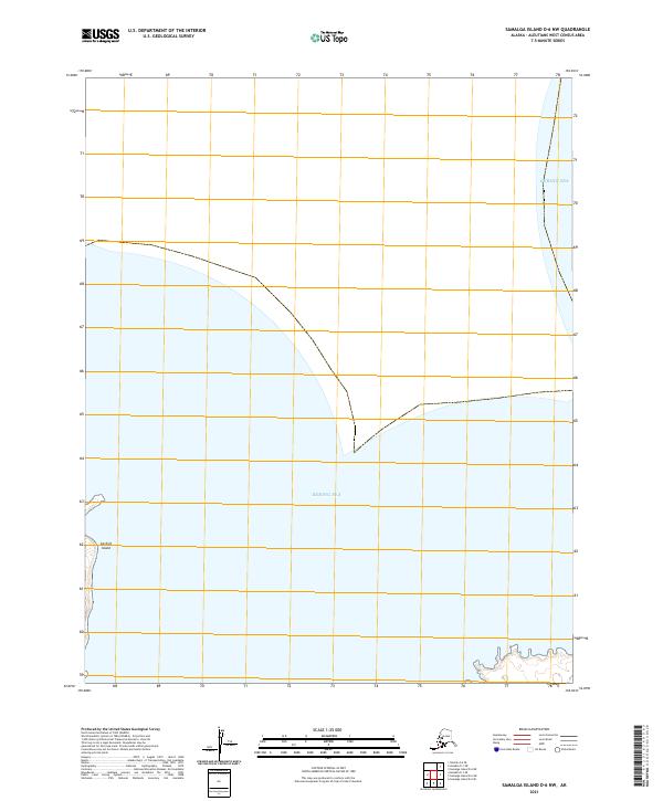
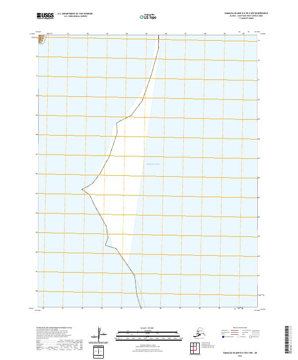
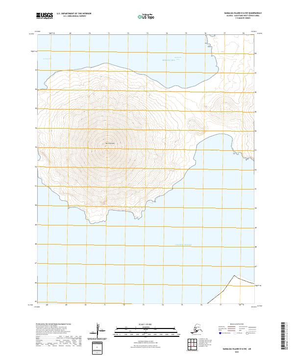
2021 Samalga Island D-2 NE
Aleutians West Borough, AK
2021 Samalga Island D-2 NW
Aleutians West Borough, AK
2021 Samalga Island D-3 NE
Aleutians West Borough, AK

2021 Samalga Island D-3 NW
Aleutians West Borough, AK
2021 Samalga Island D-3 SW
Aleutians West Borough, AK
2021 Samalga Island D-4 NE
Aleutians West Borough, AK
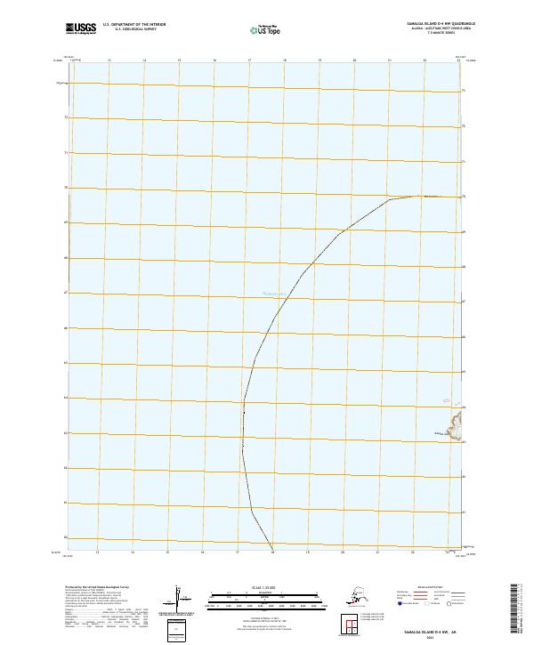
2021 Samalga Island D-4 NW
Aleutians West Borough, AK
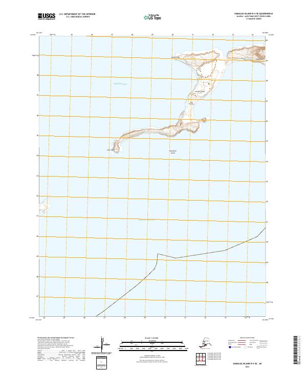
2021 Samalga Island D-4 SE
Aleutians West Borough, AK
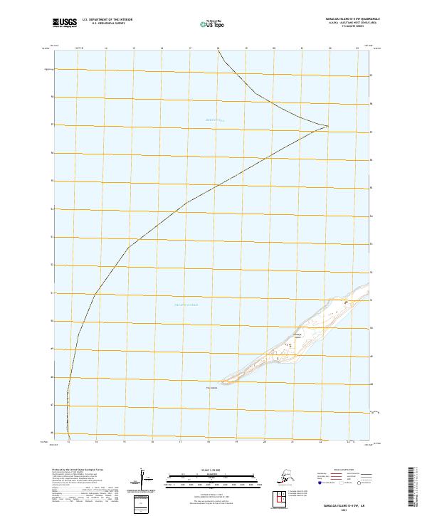
2021 Samalga Island D-4 SW
Aleutians West Borough, AK
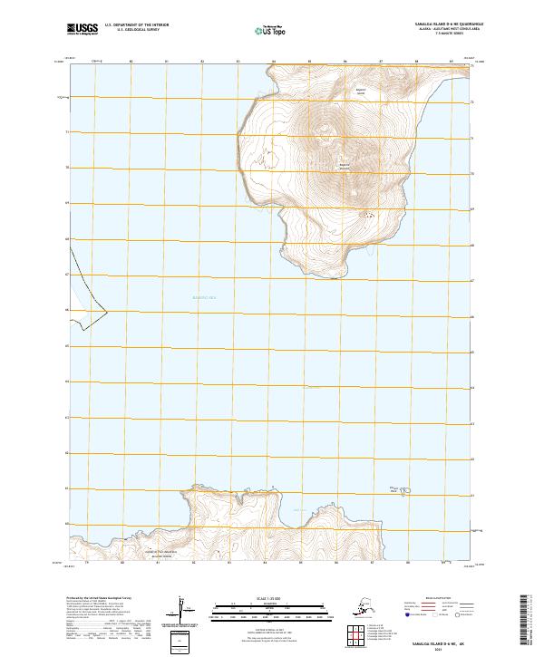
2021 Samalga Island D-6 NE
Aleutians West Borough, AK
2021 Samalga Island D-6 NW
Aleutians West Borough, AK
2021 Samalga Island D-6 OE E NW
Aleutians West Borough, AK
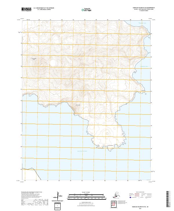
2021 Samalga Island D-6 SE
Aleutians West Borough, AK
2021 Samalga Island D-6 SW
Aleutians West Borough, AK
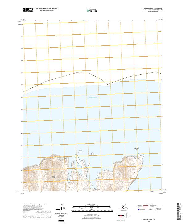
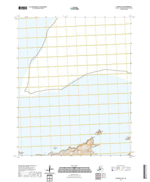
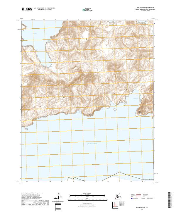
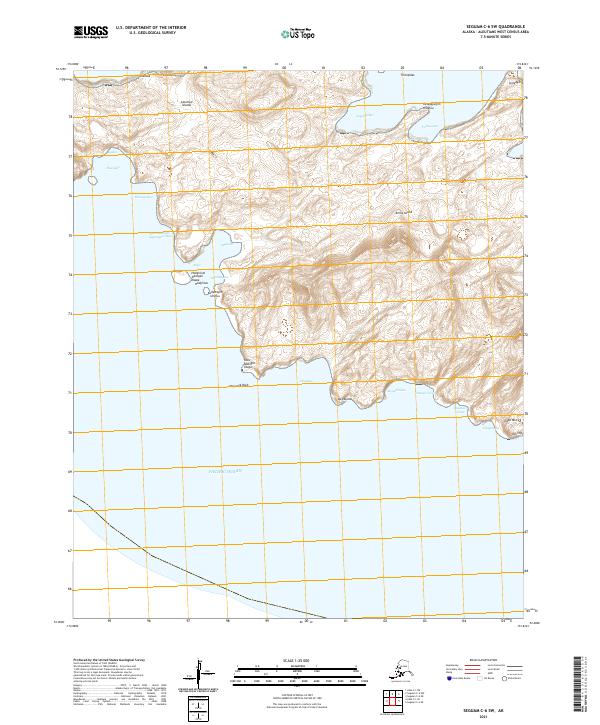
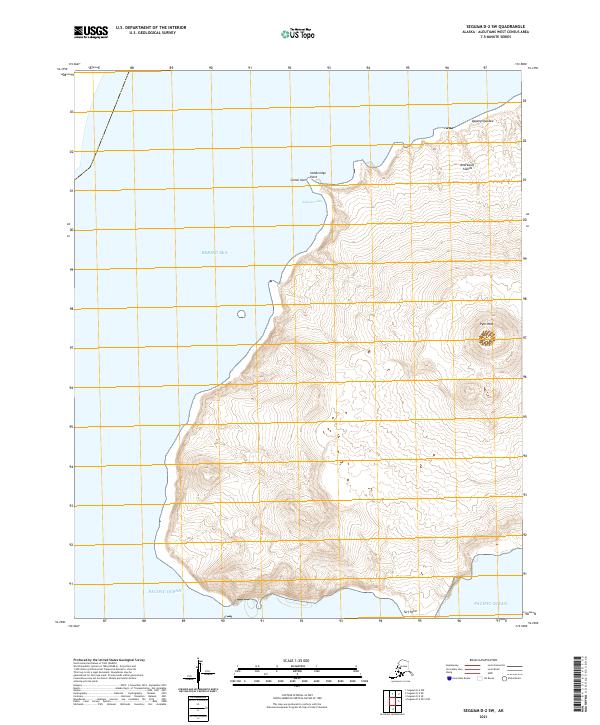
2021 Seguam C-3 SW
Aleutians West Borough, AK
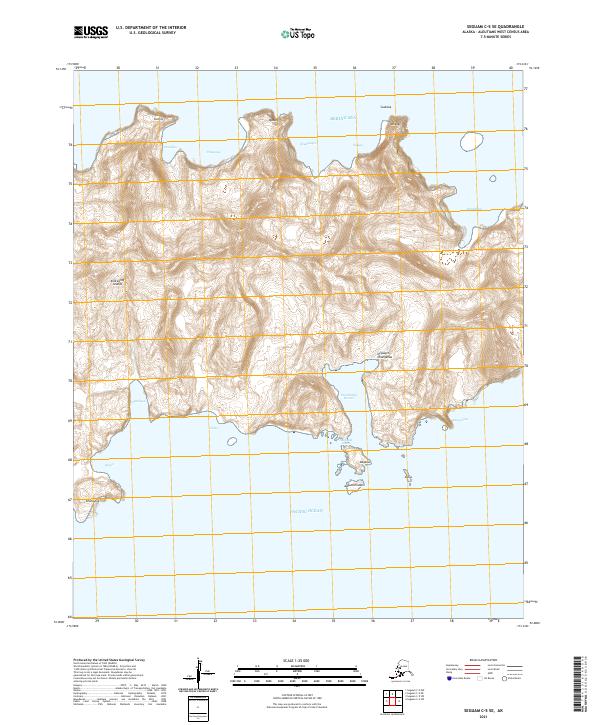
2021 Seguam C-4 SE
Aleutians West Borough, AK
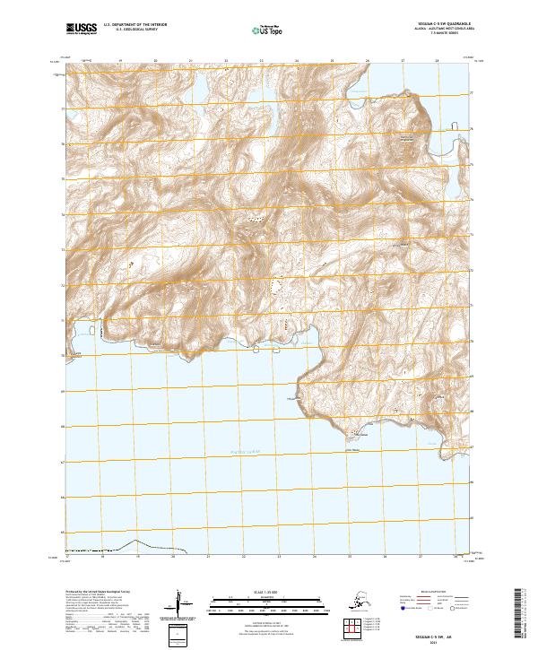
2021 Seguam C-4 SW
Aleutians West Borough, AK
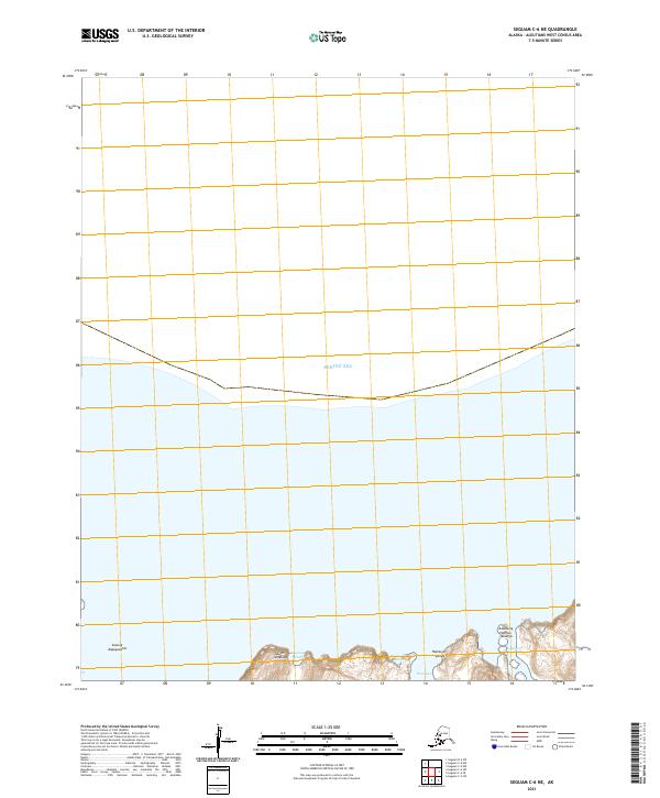
2021 Seguam C-5 NE
Aleutians West Borough, AK
2021 Seguam C-5 NW
Aleutians West Borough, AK
2021 Seguam C-5 SE
Aleutians West Borough, AK
2021 Seguam C-5 SW
Aleutians West Borough, AK
2021 Seguam C-6 NE
Aleutians West Borough, AK
2021 Seguam C-6 NW
Aleutians West Borough, AK
2021 Seguam C-6 SE
Aleutians West Borough, AK
2021 Seguam C-6 SW
Aleutians West Borough, AK
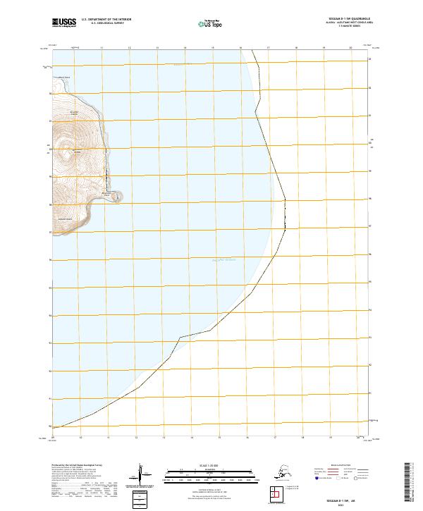
2021 Seguam D-1 SW
Aleutians West Borough, AK
2021 Seguam D-2 NE
Aleutians West Borough, AK
2021 Seguam D-2 NW
Aleutians West Borough, AK
2021 Seguam D-2 OE S NW
Aleutians West Borough, AK
2021 Seguam D-2 SE
Aleutians West Borough, AK
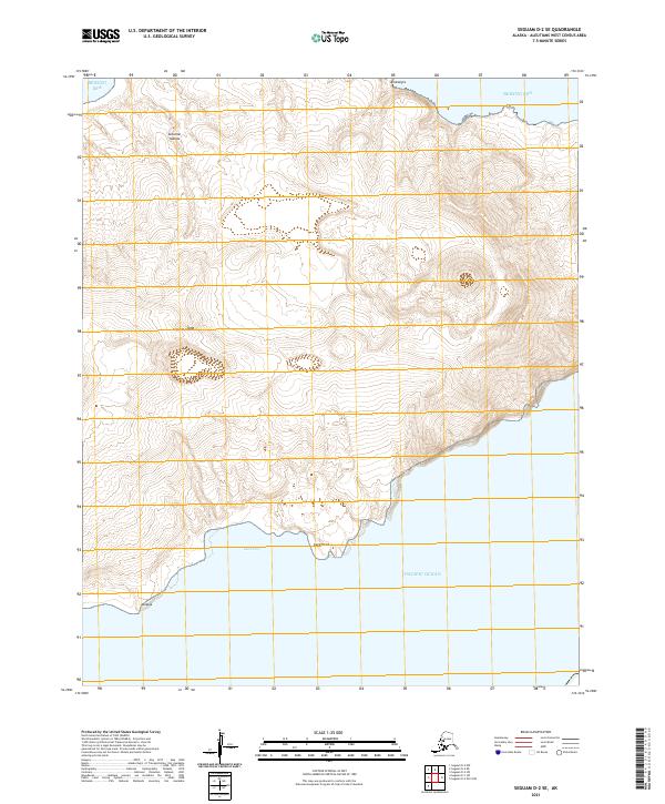
2021 Seguam D-2 SW
Aleutians West Borough, AK
2021 Seguam D-6 SW
Aleutians West Borough, AK
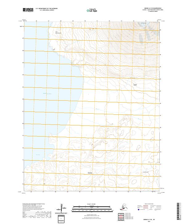
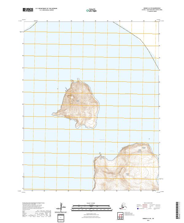
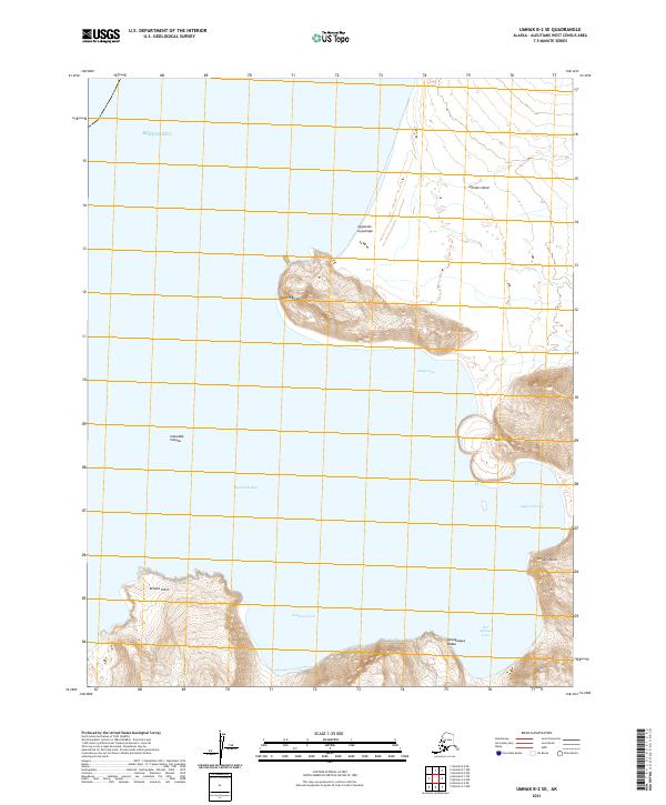
2021 Umnak A-1 NW
Aleutians West Borough, AK
2021 Umnak A-2 NE
Aleutians West Borough, AK
2021 Umnak A-2 NW
Aleutians West Borough, AK
2021 Umnak A-2 SE
Aleutians West Borough, AK
2021 Umnak A-2 SW
Aleutians West Borough, AK
2021 Umnak A-3 NE
Aleutians West Borough, AK
2021 Umnak A-3 SE
Aleutians West Borough, AK
2021 Umnak A-3 SW
Aleutians West Borough, AK
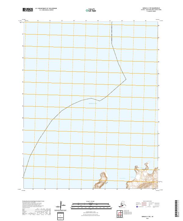
2021 Umnak A-5 SW
Aleutians West Borough, AK
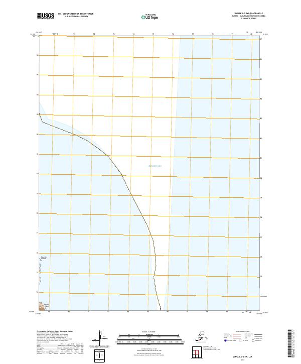
2021 Umnak A-6 SE
Aleutians West Borough, AK
2021 Umnak B-1 NE
Aleutians West Borough, AK
2021 Umnak B-1 NW
Aleutians West Borough, AK
2021 Umnak B-1 SE
Aleutians West Borough, AK

2021 Umnak B-1 SW
Aleutians West Borough, AK
2021 Umnak B-2 NE
Aleutians West Borough, AK
2021 Umnak B-2 SE
Aleutians West Borough, AK
2021 Umnak B-2 SW
Aleutians West Borough, AK
2021 Umnak C-1 SE
Aleutians West Borough, AK
2021 Umnak C-1 SW
Aleutians West Borough, AK
2021 Umnak D-1 NE
Aleutians West Borough, AK
2021 Unalaska A-2 NW
Aleutians West Borough, AK
2021 Unalaska A-3 NE
Aleutians West Borough, AK
2021 Unalaska A-3 NW
Aleutians West Borough, AK
2021 Unalaska A-4 NE
Aleutians West Borough, AK
2021 Unalaska A-4 NW
Aleutians West Borough, AK
2021 Unalaska A-4 SW
Aleutians West Borough, AK
2021 Unalaska A-5 NE
Aleutians West Borough, AK
2021 Unalaska A-5 NW
Aleutians West Borough, AK
2021 Unalaska A-5 OE S NW
Aleutians West Borough, AK
2021 Unalaska A-5 SE
Aleutians West Borough, AK
2021 Unalaska A-5 SW
Aleutians West Borough, AK
2021 Unalaska A-6 NE
Aleutians West Borough, AK
2021 Unalaska A-6 NW
Aleutians West Borough, AK
2021 Unalaska A-6 SE
Aleutians West Borough, AK
2021 Unalaska A-6 SW
Aleutians West Borough, AK
2021 Unalaska B-1 NW
Aleutians West Borough, AK
2021 Unalaska B-2 NE
Aleutians West Borough, AK
2021 Unalaska B-2 NW
Aleutians West Borough, AK
2021 Unalaska B-2 SW
Aleutians West Borough, AK
2021 Unalaska B-3 NE
Aleutians West Borough, AK
2021 Unalaska B-3 NW
Aleutians West Borough, AK
2021 Unalaska B-3 SE
Aleutians West Borough, AK
2021 Unalaska B-3 SW
Aleutians West Borough, AK
2021 Unalaska B-4 NE
Aleutians West Borough, AK
2021 Unalaska B-4 SE
Aleutians West Borough, AK
2021 Unalaska B-4 SW
Aleutians West Borough, AK
2021 Unalaska B-6 SE
Aleutians West Borough, AK
2021 Unalaska B-6 SW
Aleutians West Borough, AK
2021 Unalaska C-1 SE
Aleutians West Borough, AK
2021 Unalaska C-1 SW
Aleutians West Borough, AK
2021 Unalaska C-2 NE
Aleutians West Borough, AK

2021 Unalaska C-2 NW
Aleutians West Borough, AK
2021 Unalaska C-2 SE
Aleutians West Borough, AK
2021 Unalaska C-2 SW
Aleutians West Borough, AK
2021 Unalaska C-3 NE
Aleutians West Borough, AK
2021 Unalaska C-3 NW
Aleutians West Borough, AK

2021 Unalaska C-3 SE
Aleutians West Borough, AK
2021 Unalaska C-3 SW
Aleutians West Borough, AK
2021 Unalaska C-4 NE
Aleutians West Borough, AK
2021 Unalaska C-4 SE
Aleutians West Borough, AK
2021 Unalaska D-3 SE
Aleutians West Borough, AK