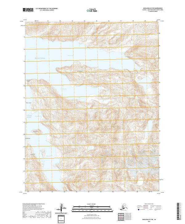
2021 Map of Unalaska B-3 NE
USGS Topo · Published 2021About this map
Portage Bay and Cannery Bay deeply indent the coast of Unalaska Island on this 2021 topographic sheet, illustrating the maritime character of the Aleutian landscape. The prominence of Cannery Point suggests the historical industrial use of these protected waters, where the geography of the Pacific Ocean creates sheltered inlets like Samgan Udaa and Udamak Cove. This survey details a terrain defined by steep coastal elevations and maritime landmarks, including Peter Island and Gull Island, which serve as critical navigation points along the shoreline. The land is organized by the Public Land Survey System, shown through township markers such as t75s r120w, marking out the uninhabited reaches of the Aleutians West Census Area.
Find a feature on this map
16 named features on this map. Tap any name to fly to it.
Don’t see what you’re looking for? This feature index may not catch every label — zoom into the map to look around manually.
Map Details
Editions of this 2021 Unalaska B-3 NE Map
This is the sole edition of this map. No revisions or reprints were ever made.
Other maps of this area

1951 · Unalaska
USGS Topo · 1:250,000

1989 · Unalaska C-3
USGS Topo · 1:63,360

1989 · Unalaska B-2
USGS Topo · 1:63,360

1989 · Unalaska B-3
USGS Topo · 1:63,360

1990 · Unalaska C-2
USGS Topo · 1:63,360
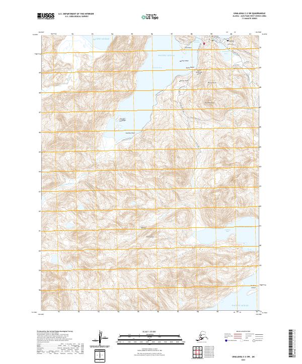
2021 · Unalaska C-2 SW
USGS Topo · 1:25,000
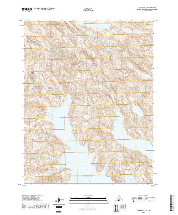
2021 · Unalaska B-3 SE
USGS Topo · 1:25,000
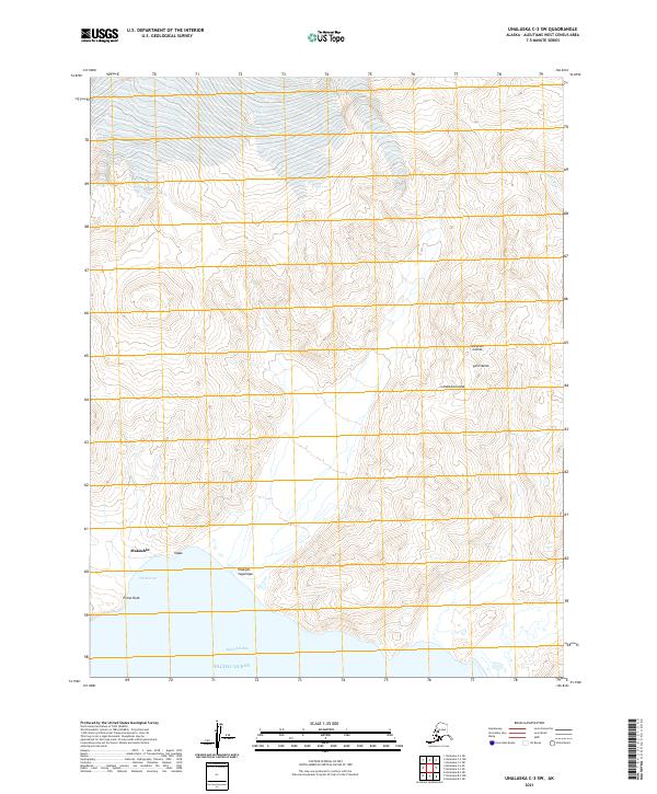
2021 · Unalaska C-3 SW
USGS Topo · 1:25,000
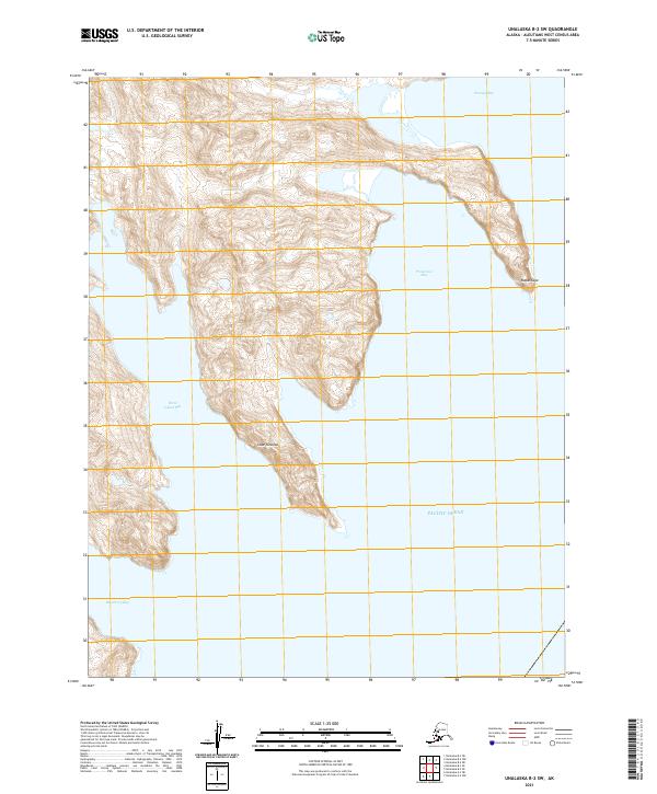
2021 · Unalaska B-2 SW
USGS Topo · 1:25,000
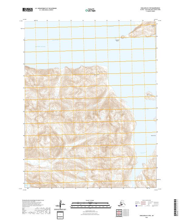
2021 · Unalaska B-3 NW
USGS Topo · 1:25,000