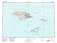
1953 Map of Attu
USGS Topo · Published 1984About this map
The westernmost edges of the Near Islands are documented here during a pivotal era of mid-century military presence and conservation. The volcanic peaks of the Wrangell Range and the deep indentations of Massacre Bay and Holtz Bay define the landforms of Attu Island. A strategic focus is evident on the eastern islands of the group, where Shemya Air Force Base occupies nearly the entirety of Shemya Island. This installation, along with the neighboring Alaid Island and Nizki Island, represents a critical Pacific outpost in the years following the war. To the south, the isolated Agattu Island is shown within the bounds of the Aleutian Islands Wilderness, highlighting the tension between high-stakes defense infrastructure and the preservation of this remote subarctic environment. Navigational points such as Murder Point and Chichagof Harbor mark the rugged coastlines where the Bering Sea meets the Pacific Ocean.
Find a feature on this map
42 named features on this map. Tap any name to fly to it.
Don’t see what you’re looking for? This feature index may not catch every label — zoom into the map to look around manually.
Map Details
Editions of this 1953 Attu Map
6 editions found
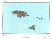
Other maps of this area

1952 · Attu
USGS Topo · 1:250,000

1953 · Attu
USGS Topo · 1:250,000
2021 · Attu C-5 SE
USGS Topo · 1:25,000
2021 · Attu C-4 SE
USGS Topo · 1:25,000
2021 · Attu C-5 NW
USGS Topo · 1:25,000
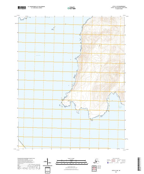
2021 · Attu C-4 SW
USGS Topo · 1:25,000
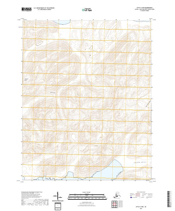
2021 · Attu C-4 NW
USGS Topo · 1:25,000
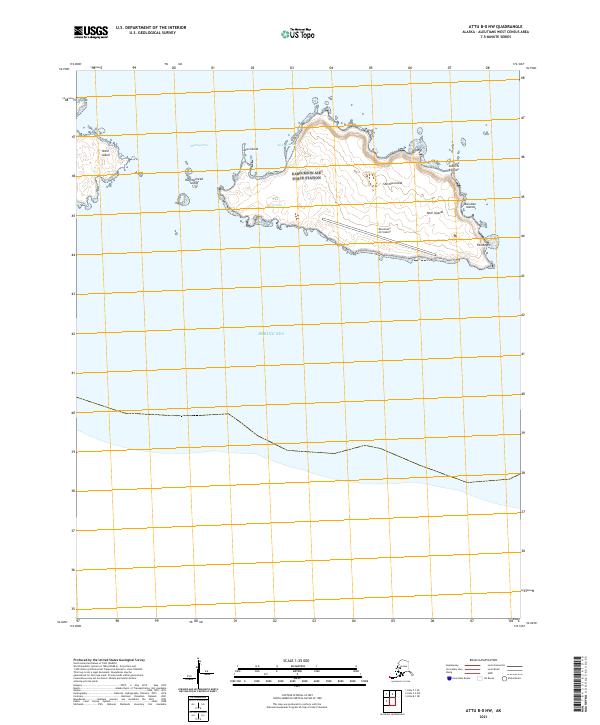
2021 · Attu B-0 NW
USGS Topo · 1:25,000
2021 · Attu D-4 SE
USGS Topo · 1:25,000
2021 · Attu C-3 OE N SW
USGS Topo · 1:25,000