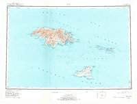
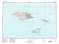
1953 Map of Attu
USGS Topo · Published 1973About this map
Attu and the surrounding islands stand as the westernmost point of the Aleutian chain, captured here through surveys conducted between 1943 and 1953. The landscape is dominated by the Wrangell Range and Attu Mountain, where the aftermath of World War II is evident in the presence of Navy Town and the strategic positioning of coastal infrastructure around Massacre Bay and Holtz Bay. These settlements and maritime labels reflect a period when the island was a vital military outpost and weather station in the North Pacific.
Find a feature on this map
50 named features on this map. Tap any name to fly to it.
Don’t see what you’re looking for? This feature index may not catch every label — zoom into the map to look around manually.
Map Details
Editions of this 1953 Attu Map
6 editions found
Other maps of this area

1952 · Attu
USGS Topo · 1:250,000

1953 · Attu
USGS Topo · 1:250,000
2021 · Attu C-5 SE
USGS Topo · 1:25,000
2021 · Attu C-4 SE
USGS Topo · 1:25,000
2021 · Attu C-5 NW
USGS Topo · 1:25,000
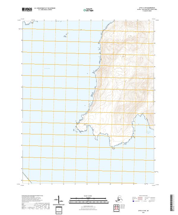
2021 · Attu C-4 SW
USGS Topo · 1:25,000
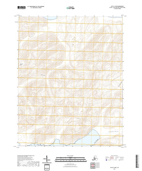
2021 · Attu C-4 NW
USGS Topo · 1:25,000
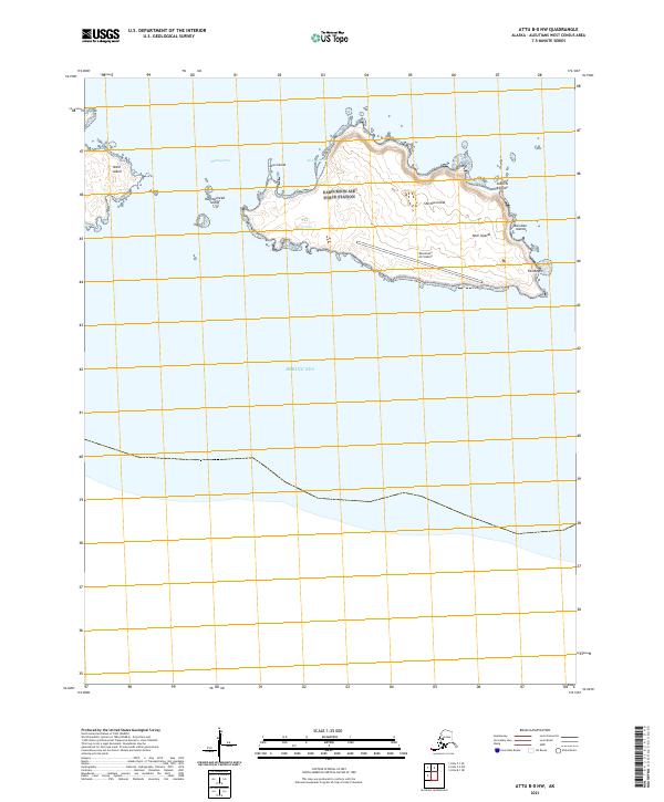
2021 · Attu B-0 NW
USGS Topo · 1:25,000
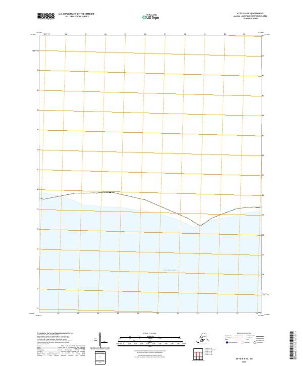
2021 · Attu D-4 SE
USGS Topo · 1:25,000
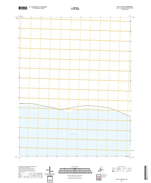
2021 · Attu C-3 OE N SW
USGS Topo · 1:25,000