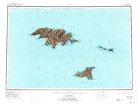
1953 Map of Attu
USGS Topo · Published 1973About this map
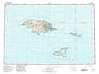
Attu Island and Agattu Island represent the westernmost reaches of the Aleutian Islands, shown here as they were surveyed in the decade following World War II. The map details the jagged, mountainous coastline and surrounding waters of the Near Islands group, including the smaller Semichi Islands. Notable features include Massacre Bay, Murder Point, and Alexai Point along Attu’s southern coast, locations that saw intense action during the 1943 Aleutian Islands Campaign. The terrain is defined by steep relief, with numerous survey markers like Vabm 669 dotting the peaks above Chichagof Hbr. To the east, Shemya Island and Alaid Island are captured in their remote isolation within the Bering Sea. This sheet provides a specialized record of the islands within the Aleutian Islands National Wildlife Refuge, reflecting military survey work from 1943–1953.
Find a feature on this map
95 named features on this map. Tap any name to fly to it.
Don’t see what you’re looking for? This feature index may not catch every label — zoom into the map to look around manually.
Map Details
Editions of this 1953 Attu Map
6 editions found
Other maps of this area

1952 · Attu
USGS Topo · 1:250,000

1953 · Attu
USGS Topo · 1:250,000
2021 · Attu C-5 SE
USGS Topo · 1:25,000
2021 · Attu C-4 SE
USGS Topo · 1:25,000
2021 · Attu C-5 NW
USGS Topo · 1:25,000
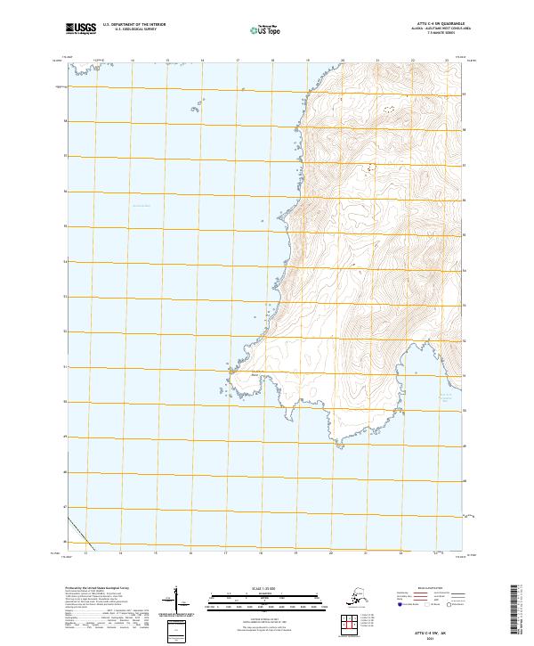
2021 · Attu C-4 SW
USGS Topo · 1:25,000
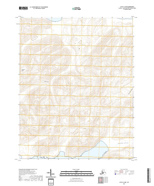
2021 · Attu C-4 NW
USGS Topo · 1:25,000
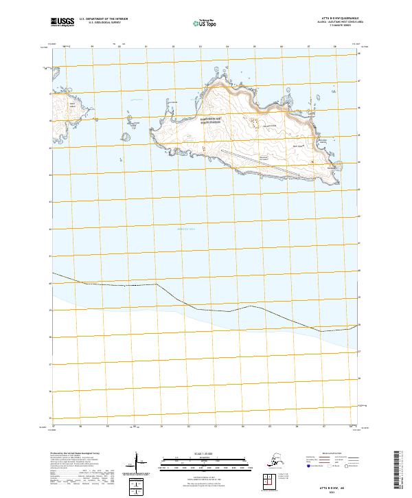
2021 · Attu B-0 NW
USGS Topo · 1:25,000
2021 · Attu D-4 SE
USGS Topo · 1:25,000
2021 · Attu C-3 OE N SW
USGS Topo · 1:25,000