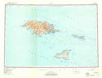
1953 Map of Attu
USGS Topo · Published 1959About this map
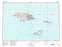
Attu Island and the surrounding Near Islands are documented here in the decade following World War II, based on surveys conducted between 1943 and 1953. The map details the military and maritime footprint on the westernmost point of the Aleutian chain, specifically around Massacre Bay and Chichagof Hbr. Locations such as Navy Town and Massacre stand as indicators of the era's strategic activity, while the interior is defined by the Wrangel Range and numerous water bodies like Etienne Lake and Mirror Lake. To the east, the Semichi Islands—including Shemya Island, Nizki Island, and Alaid Island—are shown alongside Agattu Island to the south. This survey captures a specific transitional period when wartime infrastructure remained prominent across these remote landmasses within the Aleutian Islands National Wildlife Refuge.
Find a feature on this map
92 named features on this map. Tap any name to fly to it.
Don’t see what you’re looking for? This feature index may not catch every label — zoom into the map to look around manually.
Map Details
Editions of this 1953 Attu Map
6 editions found
Other maps of this area

1952 · Attu
USGS Topo · 1:250,000

1953 · Attu
USGS Topo · 1:250,000
2021 · Attu C-5 SE
USGS Topo · 1:25,000
2021 · Attu C-4 SE
USGS Topo · 1:25,000
2021 · Attu C-5 NW
USGS Topo · 1:25,000
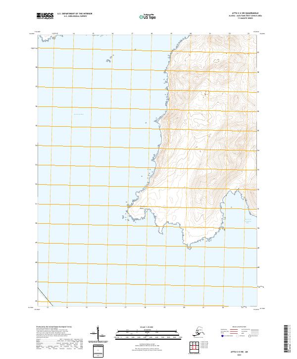
2021 · Attu C-4 SW
USGS Topo · 1:25,000
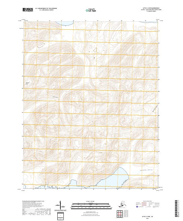
2021 · Attu C-4 NW
USGS Topo · 1:25,000
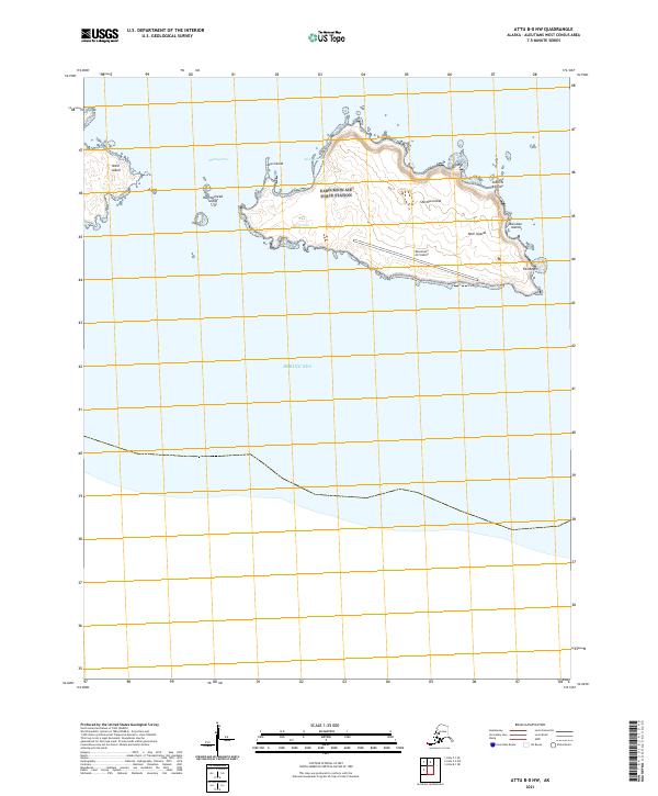
2021 · Attu B-0 NW
USGS Topo · 1:25,000
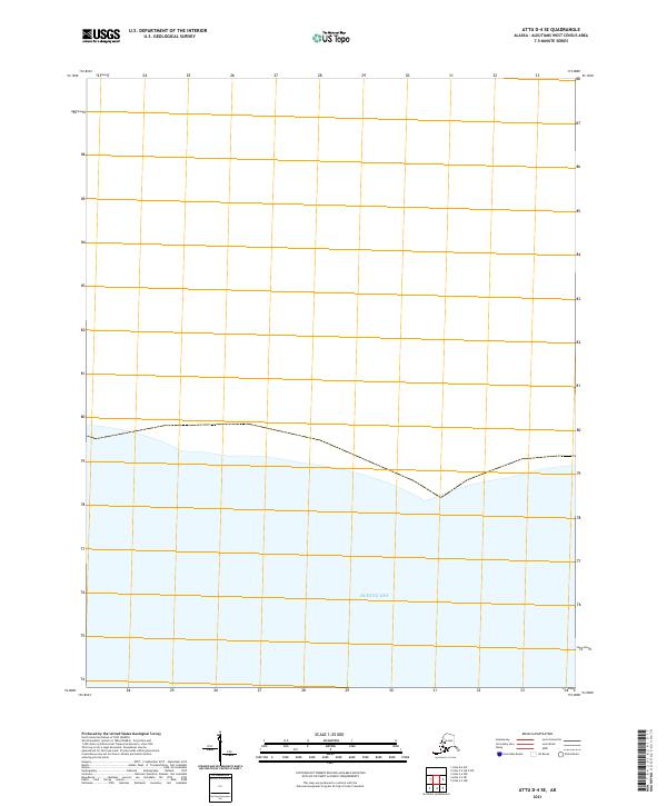
2021 · Attu D-4 SE
USGS Topo · 1:25,000
2021 · Attu C-3 OE N SW
USGS Topo · 1:25,000