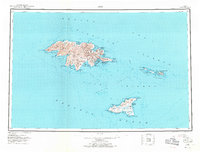
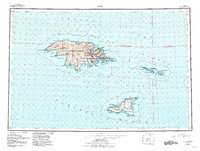
1953 Map of Attu
USGS Topo · Published 1971About this map
Attu Island and the neighboring Agattu Island represent the westernmost reaches of the Aleutian Islands during the mid-20th century. This survey, compiled from Army Map Service data and hydrographic charts, documents the landscape in the years following the Aleutian Islands Campaign. The concentration of military-era infrastructure is evident around Massacre Bay and Chichagof Harbor, where labels like Navy Town and various Cabins mark the footprint of human presence in this maritime environment.
Find a feature on this map
76 named features on this map. Tap any name to fly to it.
Don’t see what you’re looking for? This feature index may not catch every label — zoom into the map to look around manually.
Map Details
Editions of this 1953 Attu Map
6 editions found
Other maps of this area

1952 · Attu
USGS Topo · 1:250,000

1953 · Attu
USGS Topo · 1:250,000
2021 · Attu C-5 SE
USGS Topo · 1:25,000
2021 · Attu C-4 SE
USGS Topo · 1:25,000
2021 · Attu C-5 NW
USGS Topo · 1:25,000
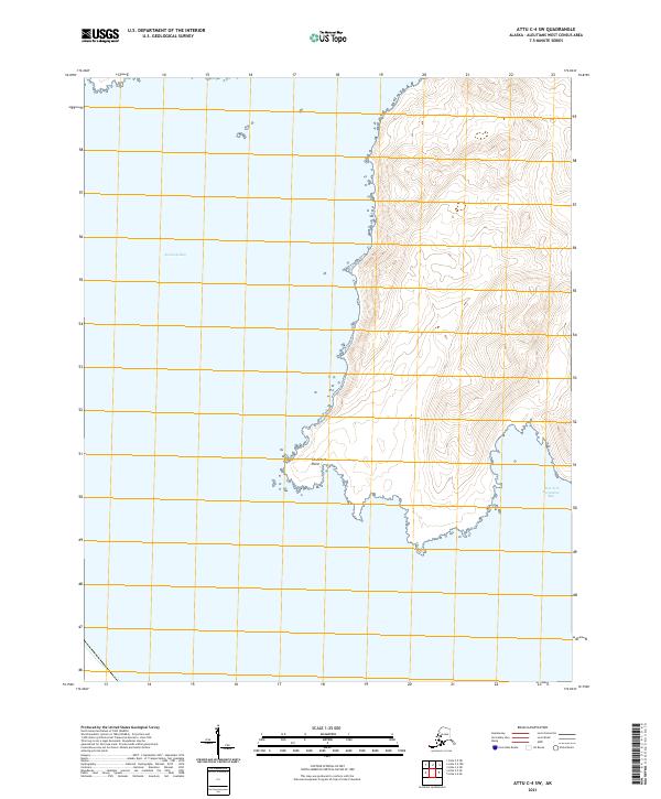
2021 · Attu C-4 SW
USGS Topo · 1:25,000
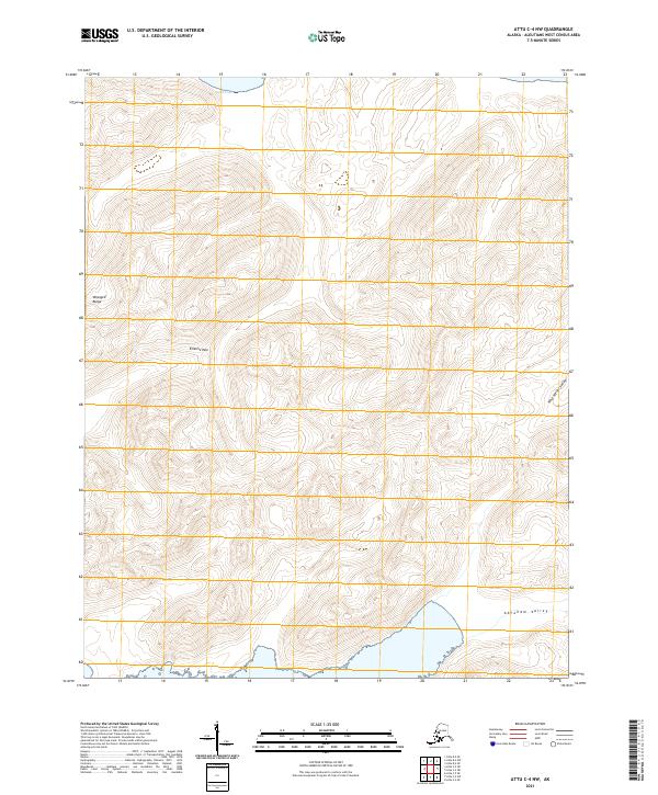
2021 · Attu C-4 NW
USGS Topo · 1:25,000
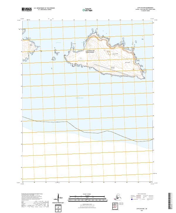
2021 · Attu B-0 NW
USGS Topo · 1:25,000
2021 · Attu D-4 SE
USGS Topo · 1:25,000
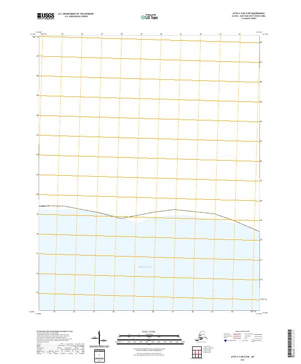
2021 · Attu C-3 OE N SW
USGS Topo · 1:25,000