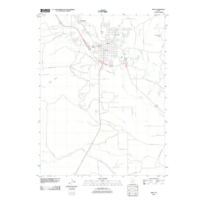
2011 Map of Price
USGS Topo · Published 2011About this map
The Price River corridor anchors this 2011 survey of the High Desert landscape, showing the city of Price as a regional hub for transportation and irrigation. The map detail highlights an extensive network of water management, featuring both the Price Canal and the Carbon Canal as they navigate the arid terrain. For genealogists and local historians, several burial grounds are identified, including the centrally located Price City Cemetery, as well as the Whitmore Cemetery and Mead Cemetery.
Find a feature on this map
64 named features on this map. Tap any name to fly to it.
Don’t see what you’re looking for? This feature index may not catch every label — zoom into the map to look around manually.
Map Details
Editions of this 2011 Price Map
This is the sole edition of this map. No revisions or reprints were ever made.
Other maps of this area

1886 · Price River
USGS Topo · 1:250,000

1896 · Price River
USGS Topo · 1:250,000

1914 · Castle Gate
USGS Topo · 1:62,500

1915 · Wellington
USGS Topo · 1:62,500

1916 · Castle Gate
USGS Topo · 1:62,500

1956 · Price
USGS Topo · 1:250,000

1960 · Price
USGS Topo · 1:250,000

1962 · Price
USGS Topo · 1:250,000

1969 · Olsen Reservoir
USGS Topo · 1:24,000

1969 · Elmo
USGS Topo · 1:24,000