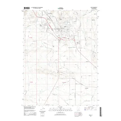
2014 Map of Price
USGS Topo · Published 2014About this map
The Price city center and its surrounding Carbon County communities are defined by an intricate network of irrigation and water management, visible through the Carbon Canal and Price Canal that parallel the Price River. This 2014 survey documents the dense layout of the high desert valley, from the educational hub at the Coll of Eastern Utah to the outlying residential developments of Carbonville and West Wood.
Find a feature on this map
58 named features on this map. Tap any name to fly to it.
Don’t see what you’re looking for? This feature index may not catch every label — zoom into the map to look around manually.
Map Details
Editions of this 2014 Price Map
This is the sole edition of this map. No revisions or reprints were ever made.
Other maps of this area

1886 · Price River
USGS Topo · 1:250,000

1896 · Price River
USGS Topo · 1:250,000

1914 · Castle Gate
USGS Topo · 1:62,500

1915 · Wellington
USGS Topo · 1:62,500

1916 · Castle Gate
USGS Topo · 1:62,500

1956 · Price
USGS Topo · 1:250,000

1960 · Price
USGS Topo · 1:250,000

1962 · Price
USGS Topo · 1:250,000

1969 · Olsen Reservoir
USGS Topo · 1:24,000

1969 · Elmo
USGS Topo · 1:24,000