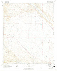
1961 Map of Priest Tank
USGS Topo · Published 1977About this map
Water management in this arid Sierra County landscape is evidenced by the Monticello Community Ditch and the Cuchillo Community Ditch, which divert essential flow from Alamosa Creek and Cuchillo Creek. The presence of small settlements like Placitas and namesake locations such as Roque Ramos and Ramos suggest a history of localized ranching and subsistence farming near the canyon bottoms.
Find a feature on this map
33 named features on this map. Tap any name to fly to it.
Don’t see what you’re looking for? This feature index may not catch every label — zoom into the map to look around manually.
Map Details
Editions of this 1961 Priest Tank Map
2 editions found
Other maps of this area

1954 · Tularosa
USGS Topo · 1:250,000

1958 · Tularosa
USGS Topo · 1:250,000

1961 · Priest Tank
USGS Topo · 1:24,000

1961 · Huerfano Hill
USGS Topo · 1:24,000

1961 · Sierra Fijardo
USGS Topo · 1:24,000

1961 · Williamsburg NW
USGS Topo · 1:24,000

1961 · Monticello
USGS Topo · 1:24,000

1961 · Cuchillo
USGS Topo · 1:24,000

1963 · Thumb Tank Peak
USGS Topo · 1:24,000

1965 · Jaralosa Mountain
USGS Topo · 1:24,000