
1961 Map of Huerfano Hill
USGS Topo · Published 1963About this map
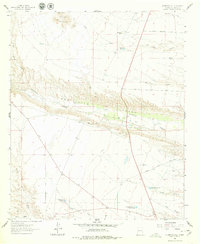
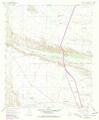
Alamosa River and Monticello Canyon River carve through the high arid landscape of Sierra County, defining a region where water management dictated survival. This early 1960s survey highlights a network of vital livestock and community water sources, including the Cuchillo Community Allotment Res, MN Chavez Res No 1, and several family-named tanks like Huerfano Tank and Downs Tank. The topography is marked by significant elevation changes, from the heights of Sierras Mediano and Huerfano Hill down to the Lower Narrows. While the settlement of Samora sits near the Samora Draw in the southwest, much of the area is defined by remote ranching infrastructure. Researchers will find a detailed look at the era's rural transport, from the Monticello Point Road to numerous unnamed jeep trails and the Martin Ranch Road, illustrating how these canyons were navigated before modern development.
Find a feature on this map
29 named features on this map. Tap any name to fly to it.
Don’t see what you’re looking for? This feature index may not catch every label — zoom into the map to look around manually.
Map Details
Editions of this 1961 Huerfano Hill Map
3 editions found
Other maps of this area

1954 · Tularosa
USGS Topo · 1:250,000

1958 · Tularosa
USGS Topo · 1:250,000

1958 · Elephant Butte
USGS Topo · 1:24,000

1959 · Engle
USGS Topo · 1:62,500

1961 · Priest Tank
USGS Topo · 1:24,000

1961 · Sierra Fijardo
USGS Topo · 1:24,000

1961 · Black Bluffs
USGS Topo · 1:24,000

1961 · Williamsburg NW
USGS Topo · 1:24,000

1961 · Monticello
USGS Topo · 1:24,000

1961 · Cuchillo
USGS Topo · 1:24,000