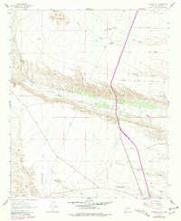
1961 Map of Huerfano Hill
USGS Topo · Published 1981About this map
Alamosa Creek carves a deep path through the center of this Sierra County landscape, defining the dramatic geology of Monticello Canyon. The terrain transitions from the high peaks of Sierras Mediano in the northwest down toward the arid flats of the Cuchillo Community Allotment Res in the south. This environment is defined by its water management, seen in the numerous catchment features like M N Chavez Res No 1, Huerfano Tank, and Holding Trap Tank No 2. Access throughout the area is provided by a network of ranch and service paths, including Lower Narrows Road and Martin Ranch Road, which connect isolated water points and grazing allotments. The presence of a Radio Tower and various jeep trails suggest the dual use of this land for modern communication and traditional ranching during the mid-twentieth century.
Find a feature on this map
28 named features on this map. Tap any name to fly to it.
Don’t see what you’re looking for? This feature index may not catch every label — zoom into the map to look around manually.
Map Details
Editions of this 1961 Huerfano Hill Map
3 editions found
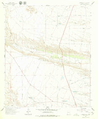
Other maps of this area

1954 · Tularosa
USGS Topo · 1:250,000

1958 · Tularosa
USGS Topo · 1:250,000

1958 · Elephant Butte
USGS Topo · 1:24,000

1959 · Engle
USGS Topo · 1:62,500

1961 · Priest Tank
USGS Topo · 1:24,000

1961 · Huerfano Hill
USGS Topo · 1:24,000

1961 · Sierra Fijardo
USGS Topo · 1:24,000

1961 · Black Bluffs
USGS Topo · 1:24,000

1961 · Williamsburg NW
USGS Topo · 1:24,000

1961 · Monticello
USGS Topo · 1:24,000