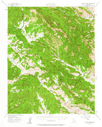
1956 Map of Priest Valley
USGS Topo · Published 1963About this map
Priest Valley serves as the central hub of this remote Monterey and Fresno County borderland, where the landscape is defined by a dense network of canyons and high ridges. The map illustrates a mid-century rural infrastructure, including the Stone Canyon Mine and the Slack Canyon School, which anchored the small mountain communities of the era. The presence of the Joaquin Murietta Fire Control Sta at the northern edge and the County Road Camp suggests the ongoing management of this rugged interior during the 1950s. Water sources like Coalinga Mineral Spr and numerous ephemeral creeks such as Mustang Creek and Jacalitos Creek highlight the geographic challenges and local resources that shaped early ranching and mining efforts in the region.
Find a feature on this map
75 named features on this map. Tap any name to fly to it.
Don’t see what you’re looking for? This feature index may not catch every label — zoom into the map to look around manually.
Map Details
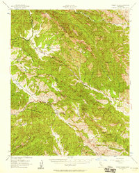
Editions of this 1956 Priest Valley Map
2 editions found
Other maps of this area

1912 · Coalinga
USGS Topo · 1:125,000

1914 · Cholame
USGS Topo · 1:125,000

1915 · Priest Valley
USGS Topo · 1:125,000

1915 · Cholame
USGS Topo · 1:125,000

1917 · Cholame
USGS Topo · 1:125,000

1919 · San Miguel
USGS Topo · 1:62,500

1919 · Bradley
USGS Topo · 1:62,500

1941 · Priest Valley
USGS Topo · 1:62,500

1941 · San Ardo
USGS Topo · 1:62,500

1941 · Bradley
USGS Topo · 1:62,500