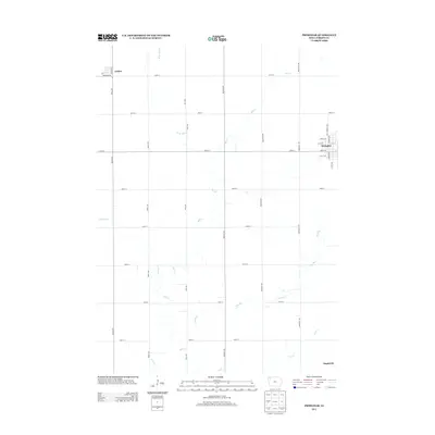
2013 Map of Primghar
USGS Topo · Published 2013About this map
Primghar serves as the focal point of this O'Brien County landscape, showcasing a rigid grid of residential streets and arterial roads like N Mc Cormack Ave and S Green Ave. To the northwest, the small settlement of Archer sits near the intersection of Primghar Ave and Oriole Ave. The surrounding terrain is defined by a dense network of sectional roads and a complex drainage system led by Mill Creek, which winds through the center of the quadrangle. This hydrography, including the W Br Mill Creek and Johnson Creek, illustrates the agricultural dependency on natural water courses in northwest Iowa. Smaller communities like Mapleside on the southeastern edge further highlight the dispersed rural settlement pattern typical of the early 21st century in this region.
Find a feature on this map
34 named features on this map. Tap any name to fly to it.
Don’t see what you’re looking for? This feature index may not catch every label — zoom into the map to look around manually.
Map Details
Editions of this 2013 Primghar Map
This is the sole edition of this map. No revisions or reprints were ever made.
Other maps of this area

1954 · Fairmont
USGS Topo · 1:250,000

1954 · Fort Dodge
USGS Topo · 1:250,000

1957 · Fort Dodge
USGS Topo · 1:250,000

1958 · Fort Dodge
USGS Topo · 1:250,000

1958 · Fairmont
USGS Topo · 1:250,000

1964 · Sheldon SE
USGS Topo · 1:24,000

1964 · Sheldon
USGS Topo · 1:24,000

1964 · Primghar
USGS Topo · 1:24,000

1964 · Plessis
USGS Topo · 1:24,000

1964 · Gaza
USGS Topo · 1:24,000