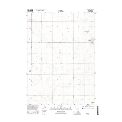
2015 Map of Primghar
USGS Topo · Published 2015About this map
The town of Primghar serves as a central hub in this O'Brien County landscape, where the precision of the Public Land Survey System creates a rigid grid of rural roads like 380th St and Oriole Ave. The terrain is defined by the drainage patterns of Mill Cr and its tributaries, including W Br Mill Cr and Dru Run, which cut gentle paths through the agricultural sections. In the northwestern corner, the small settlement of Archer sits along the road network, while the southern edge includes the locality of Mapleside. This map captures a transition in local geography where traditional township boundaries like t96n r41w meet modern county infrastructure. Genealogists will find the locations of Pleasant Hill Cem and Saint Anthonys Cem particularly valuable for anchoring family histories to specific prairie sections.
Find a feature on this map
35 named features on this map. Tap any name to fly to it.
Don’t see what you’re looking for? This feature index may not catch every label — zoom into the map to look around manually.
Map Details
Editions of this 2015 Primghar Map
This is the sole edition of this map. No revisions or reprints were ever made.
Other maps of this area

1954 · Fairmont
USGS Topo · 1:250,000

1954 · Fort Dodge
USGS Topo · 1:250,000

1957 · Fort Dodge
USGS Topo · 1:250,000

1958 · Fort Dodge
USGS Topo · 1:250,000

1958 · Fairmont
USGS Topo · 1:250,000

1964 · Sheldon SE
USGS Topo · 1:24,000

1964 · Sheldon
USGS Topo · 1:24,000

1964 · Primghar
USGS Topo · 1:24,000

1964 · Plessis
USGS Topo · 1:24,000

1964 · Gaza
USGS Topo · 1:24,000