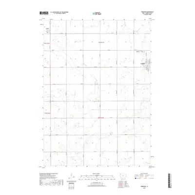
2018 Map of Primghar
USGS Topo · Published 2018About this map
The O'Brien County seat of Primghar anchors the eastern edge of this agricultural landscape, defined by a rigid grid of rural roads and the winding paths of local waterways. The terrain is drained by Mill Cr and its tributaries, including W Br Mill Cr and Johnson Cr, which break the geometric precision of the section lines. In the northwest corner, the small community of Archer sits near the headwaters of the regional creek system. This 2018 survey documents the enduring spatial organization of Northwest Iowa, where the legacy of early settlement is preserved in sites like Pleasant Hill Cem and Saint Anthony Cem. The map provides a detailed view of the township boundaries, specifically t96n r41w and t95n r41w, showing how modern infrastructure follows the historic Public Land Survey System.
Find a feature on this map
34 named features on this map. Tap any name to fly to it.
Don’t see what you’re looking for? This feature index may not catch every label — zoom into the map to look around manually.
Map Details
Editions of this 2018 Primghar Map
This is the sole edition of this map. No revisions or reprints were ever made.
Other maps of this area

1954 · Fairmont
USGS Topo · 1:250,000

1954 · Fort Dodge
USGS Topo · 1:250,000

1957 · Fort Dodge
USGS Topo · 1:250,000

1958 · Fort Dodge
USGS Topo · 1:250,000

1958 · Fairmont
USGS Topo · 1:250,000

1964 · Sheldon SE
USGS Topo · 1:24,000

1964 · Sheldon
USGS Topo · 1:24,000

1964 · Primghar
USGS Topo · 1:24,000

1964 · Plessis
USGS Topo · 1:24,000

1964 · Gaza
USGS Topo · 1:24,000