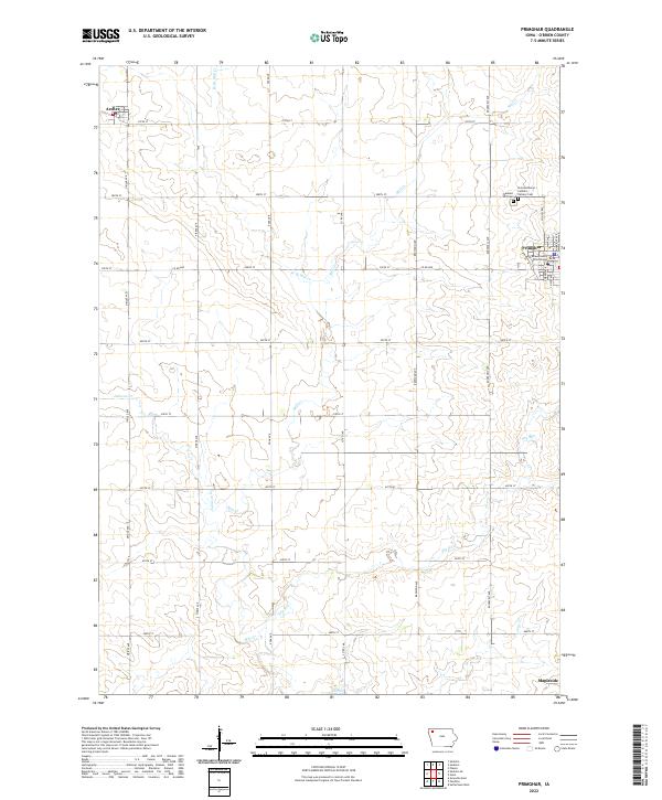
2022 Map of Primghar
USGS Topo · Published 2022About this map
Primghar, the seat of O'Brien County, anchors this rural Iowa landscape as it appeared in 2022. The town is centered around the O'Brien County Courthouse, surrounded by a precise grid of sectional roads that define the region's agricultural character. To the northwest lies the small settlement of Archer, while Mapleside is located at the southern edge. The topography is shaped by a branching drainage system, including Mill Creek and its tributary West Branch Mill Creek, alongside Johnson Creek and Cole Creek.
Find a feature on this map
35 named features on this map. Tap any name to fly to it.
Don’t see what you’re looking for? This feature index may not catch every label — zoom into the map to look around manually.
Map Details
Editions of this 2022 Primghar Map
This is the sole edition of this map. No revisions or reprints were ever made.
Other maps of this area

1954 · Fairmont
USGS Topo · 1:250,000

1954 · Fort Dodge
USGS Topo · 1:250,000

1957 · Fort Dodge
USGS Topo · 1:250,000

1958 · Fort Dodge
USGS Topo · 1:250,000

1958 · Fairmont
USGS Topo · 1:250,000

1964 · Sheldon SE
USGS Topo · 1:24,000

1964 · Sheldon
USGS Topo · 1:24,000

1964 · Primghar
USGS Topo · 1:24,000

1964 · Plessis
USGS Topo · 1:24,000

1964 · Gaza
USGS Topo · 1:24,000