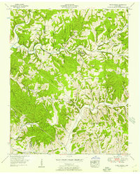
1951 Map of Primm Springs
USGS Topo · Published 1957About this map
Primm Springs serves as a central landmark in this 1951 survey of the borderlands where Hickman, Williamson, and Maury counties meet. The landscape is defined by the winding course of Lick Creek and its many tributaries, including Edwards Branch and Shoals Branch, which carve through the prominent Lick Ridge. Evidence of early Tennessee travel and infrastructure is clear, notably the historic path of the Natchez Trace and the corridor of a Dismantled Railroad near the southern edge.
Find a feature on this map
105 named features on this map. Tap any name to fly to it.
Don’t see what you’re looking for? This feature index may not catch every label — zoom into the map to look around manually.
Map Details
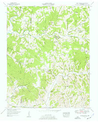
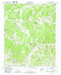
Editions of this 1951 Primm Springs Map
3 editions found
Other maps of this area

1901 · Colombia
USGS Topo · 1:125,000

1936 · Godwin
USGS Topo · 1:24,000

1936 · Williamsport
USGS Topo · 1:24,000

1936 · Primm
USGS Topo · 1:24,000

1936 · Littlelot
USGS Topo · 1:24,000

1936 · Theta
USGS Topo · 1:24,000

1936 · Greenfield Bend
USGS Topo · 1:24,000

1936 · Craigfield
USGS Topo · 1:24,000

1936 · Lyles
USGS Topo · 1:24,000

1940 · Godwin
USGS Topo · 1:24,000