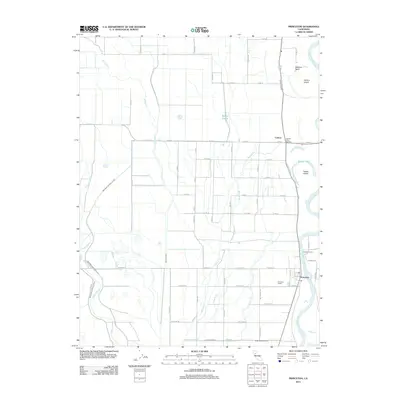
2012 Map of Princeton
USGS Topo · Published 2012About this map
The Sacramento River defines the eastern boundary of this agricultural landscape in Glenn County, where the river's winding course has created distinctive features like Hanson Island and Packer Island. The settlement of Princeton serves as a primary hub, supported by the Princeton Siding and historical river crossings like the Princeton Ferry. The geography here is heavily influenced by water management, with the Provident Central Canal and Provident Eastern Canal cutting through the terrain to support the region's farms.
Find a feature on this map
56 named features on this map. Tap any name to fly to it.
Don’t see what you’re looking for? This feature index may not catch every label — zoom into the map to look around manually.
Map Details
Editions of this 2012 Princeton Map
This is the sole edition of this map. No revisions or reprints were ever made.
Other maps of this area

1888 · Marysville
USGS Topo · 1:125,000

1891 · Chico
USGS Topo · 1:125,000

1891 · Marysville
USGS Topo · 1:125,000

1893 · Chico
USGS Topo · 1:125,000

1894 · Marysville
USGS Topo · 1:125,000

1895 · Marysville
USGS Topo · 1:125,000

1895 · Chico
USGS Topo · 1:125,000

1906 · Maxwell
USGS Topo · 1:62,500

1906 · Willows
USGS Topo · 1:62,500

1911 · Sanborn Slough
USGS Topo · 1:31,680