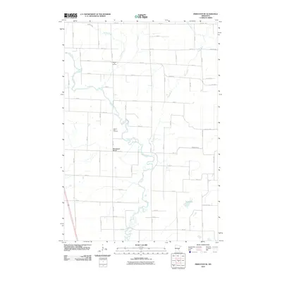
2010 Map of Princeton NE
USGS Topo · Published 2010About this map
The meandering Rum River carves a complex path through this portion of Mille Lacs County, defining a landscape shaped by glacial watercourses and late-twentieth-century rural development. Along its banks and the neighboring Woodward Brook, the terrain is marked by the winding routes of Bogus Brook and Vondell Brook, which feed into the primary river system. This area retains a strong connection to its early settling families and community foundations, evidenced by the presence of Wendell Hill Cemetery and Pilgrims Rest Cemetery. The map captures the transition of the local economy from its traditional roots toward a more structured grid of county roads and residential avenues, such as County Hwy 4, while landmarks like Mud Lake and Washburn Brook remain as constants in the low-lying geography north of Princeton.
Find a feature on this map
50 named features on this map. Tap any name to fly to it.
Don’t see what you’re looking for? This feature index may not catch every label — zoom into the map to look around manually.
Map Details
Editions of this 2010 Princeton NE Map
This is the sole edition of this map. No revisions or reprints were ever made.
Other maps of this area

1953 · Stillwater
USGS Topo · 1:250,000

1955 · Stillwater
USGS Topo · 1:250,000

1958 · Stillwater
USGS Topo · 1:250,000

1961 · Dalbo
USGS Topo · 1:24,000

1961 · Wyanett
USGS Topo · 1:24,000

1961 · Dalbo
USGS Topo · 1:62,500

1965 · Stillwater
USGS Topo · 1:250,000
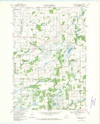
1968 · Princeton SW
USGS Topo · 1:24,000

1968 · Milaca
USGS Topo · 1:24,000
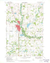
1968 · Princeton
USGS Topo · 1:24,000
Featured Places
- Bogus Brook Township, MN
- Wyanett Township, MN
- Dalbo Township, MN
- Borgholm Township, MN
- Princeton Township, MN