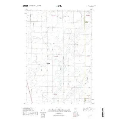
2019 Map of Princeton NE
USGS Topo · Published 2019About this map
The Rum River winds through this central Minnesota landscape, defining a terrain shaped by water and woodland near the borders of Mille Lacs, Kanabec, and Isanti counties. The area is characterized by numerous small waterways including Bogus Brook, Vondell Brook, and Washburn Brook, which flow toward the river through a grid of rural roads. Genealogists and local historians can find significant landmarks such as Wendell Hill Cemetery in the north and Pilgrims Rest Cemetery further south. The map illustrates the 2019 township divisions including t37n r26w and t38n r26w, showing a sparse residential pattern where Woodward Brook and other natural features remain the primary points of orientation for the local community.
Find a feature on this map
46 named features on this map. Tap any name to fly to it.
Don’t see what you’re looking for? This feature index may not catch every label — zoom into the map to look around manually.
Map Details
Editions of this 2019 Princeton NE Map
This is the sole edition of this map. No revisions or reprints were ever made.
Other maps of this area

1953 · Stillwater
USGS Topo · 1:250,000

1955 · Stillwater
USGS Topo · 1:250,000

1958 · Stillwater
USGS Topo · 1:250,000

1961 · Dalbo
USGS Topo · 1:24,000

1961 · Wyanett
USGS Topo · 1:24,000

1961 · Dalbo
USGS Topo · 1:62,500

1965 · Stillwater
USGS Topo · 1:250,000
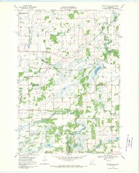
1968 · Princeton SW
USGS Topo · 1:24,000

1968 · Milaca
USGS Topo · 1:24,000
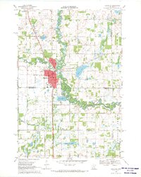
1968 · Princeton
USGS Topo · 1:24,000
Featured Places
- Bogus Brook Township, MN
- Wyanett Township, MN
- Dalbo Township, MN
- Borgholm Township, MN
- Princeton Township, MN