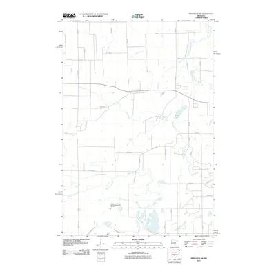
2010 Map of Princeton SW
USGS Topo · Published 2010About this map
The Saint Francis River and Battle Brook wind through this rural landscape of Greenbush Township, defining a terrain shaped by water and early agricultural development. The southern portion of the map is dominated by the Sherburne National Wildlife Refuge Pool 7A Dam, where managed water levels at Pool 7 contrast with the natural flow of the West Branch Rum River to the northeast. Historical burial records for the township can be traced to the centrally located Greenbush Cemetery along 20th Street.
Find a feature on this map
56 named features on this map. Tap any name to fly to it.
Don’t see what you’re looking for? This feature index may not catch every label — zoom into the map to look around manually.
Map Details
Editions of this 2010 Princeton SW Map
This is the sole edition of this map. No revisions or reprints were ever made.
Other maps of this area

1953 · Stillwater
USGS Topo · 1:250,000

1955 · Stillwater
USGS Topo · 1:250,000

1958 · Stillwater
USGS Topo · 1:250,000

1961 · Orrock
USGS Topo · 1:24,000

1961 · Lake Fremont
USGS Topo · 1:24,000

1961 · Becker
USGS Topo · 1:24,000

1961 · Monticello
USGS Topo · 1:62,500

1961 · Elk River
USGS Topo · 1:62,500

1965 · Stillwater
USGS Topo · 1:250,000
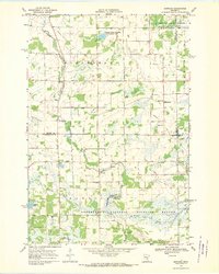
1968 · Santiago
USGS Topo · 1:24,000
Featured Places
- Greenbush Township, MN
- Baldwin Township, MN
- Princeton Township, MN
- Blue Hill Township, MN
- Sherburne County, MN