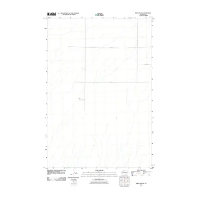
2011 Map of Prior Ranch
USGS Topo · Published 2011About this map
Prior Ranch serves as the central named landmark in this expanse of Benton County, recorded during a period of modern land management. The terrain is defined by a sparse but precise network of rural arteries, including E Reese Rd and S Badger Canyon Rd, which cut across the high desert landscape. This 2011 survey by the U.S. Geological Survey illustrates the intersection of agricultural holdings and the natural drainage patterns that characterize this part of Washington. Secondary routes like Travis Rd and Tyrell Rd provide access to the interior, reflecting the enduring grid of large-scale ranching and land divisions in the Pacific Northwest.
Find a feature on this map
6 named features on this map. Tap any name to fly to it.
Don’t see what you’re looking for? This feature index may not catch every label — zoom into the map to look around manually.
Map Details
Editions of this 2011 Prior Ranch Map
This is the sole edition of this map. No revisions or reprints were ever made.
Other maps of this area

1906 · Blalock Island
USGS Topo · 1:125,000

1908 · Blalock Island
USGS Topo · 1:125,000

1908 · Umatilla
USGS Topo · 1:125,000

1915 · Prosser
USGS Topo · 1:125,000

1917 · Pasco
USGS Topo · 1:125,000

1917 · Prosser
USGS Topo · 1:125,000

1953 · Pendleton
USGS Topo · 1:250,000

1953 · Walla Walla
USGS Topo · 1:250,000

1956 · Pendleton
USGS Topo · 1:250,000

1958 · Walla Walla
USGS Topo · 1:250,000