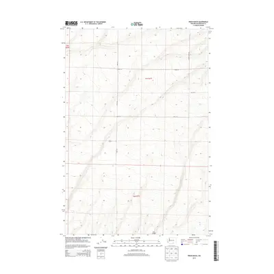
2013 Map of Prior Ranch
USGS Topo · Published 2013About this map
Prior Ranch serves as a primary geographic marker in this section of Benton County, where the high desert landscape is defined by the deep cut of Bing Canyon to the south. This 2013 survey reflects a quiet, rural corner of Washington state, structured by a grid of agricultural and access roads that follow the township and range lines. The topography reveals a series of significant draws and ridges that likely dictate the movement of livestock and water across the ranch lands.
Find a feature on this map
10 named features on this map. Tap any name to fly to it.
Don’t see what you’re looking for? This feature index may not catch every label — zoom into the map to look around manually.
Map Details
Editions of this 2013 Prior Ranch Map
This is the sole edition of this map. No revisions or reprints were ever made.
Other maps of this area

1906 · Blalock Island
USGS Topo · 1:125,000

1908 · Blalock Island
USGS Topo · 1:125,000

1908 · Umatilla
USGS Topo · 1:125,000

1915 · Prosser
USGS Topo · 1:125,000

1917 · Pasco
USGS Topo · 1:125,000

1917 · Prosser
USGS Topo · 1:125,000

1953 · Pendleton
USGS Topo · 1:250,000

1953 · Walla Walla
USGS Topo · 1:250,000

1956 · Pendleton
USGS Topo · 1:250,000

1958 · Walla Walla
USGS Topo · 1:250,000