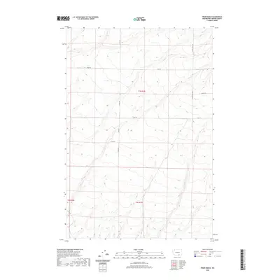
2020 Map of Prior Ranch
USGS Topo · Published 2020About this map
Prior Ranch sits within the undulating landscape of south-central Washington, surrounded by a network of rural roads that define the land use in this part of Benton County. The area is characterized by a grid of corridors such as S Travis Rd and S Badger Canyon Rd, which cut across the varied topography of Township 7 North and Township 6 North. These routes, including Reese Rd and Tyrell Rd, provide access to the dispersed agricultural operations and ranches that have shaped the local economy and settlement patterns. The map highlights the intersection of modern road infrastructure with the established land divisions of the Public Land Survey System, illustrating how geographic boundaries like t7n r27e and t6n r27e organize the territory.
Find a feature on this map
10 named features on this map. Tap any name to fly to it.
Don’t see what you’re looking for? This feature index may not catch every label — zoom into the map to look around manually.
Map Details
Editions of this 2020 Prior Ranch Map
This is the sole edition of this map. No revisions or reprints were ever made.
Other maps of this area

1906 · Blalock Island
USGS Topo · 1:125,000

1908 · Blalock Island
USGS Topo · 1:125,000

1908 · Umatilla
USGS Topo · 1:125,000

1915 · Prosser
USGS Topo · 1:125,000

1917 · Pasco
USGS Topo · 1:125,000

1917 · Prosser
USGS Topo · 1:125,000

1953 · Pendleton
USGS Topo · 1:250,000

1953 · Walla Walla
USGS Topo · 1:250,000

1956 · Pendleton
USGS Topo · 1:250,000

1958 · Walla Walla
USGS Topo · 1:250,000