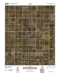
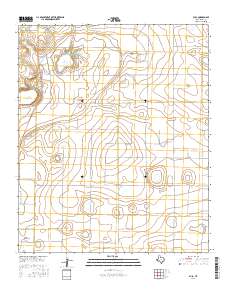
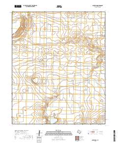
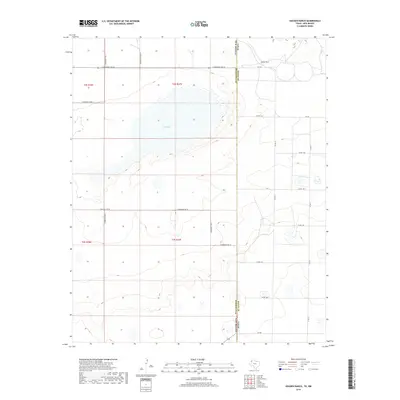
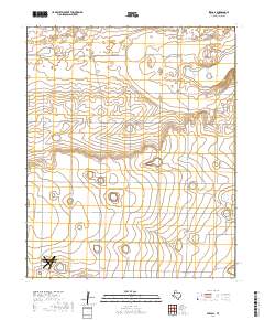
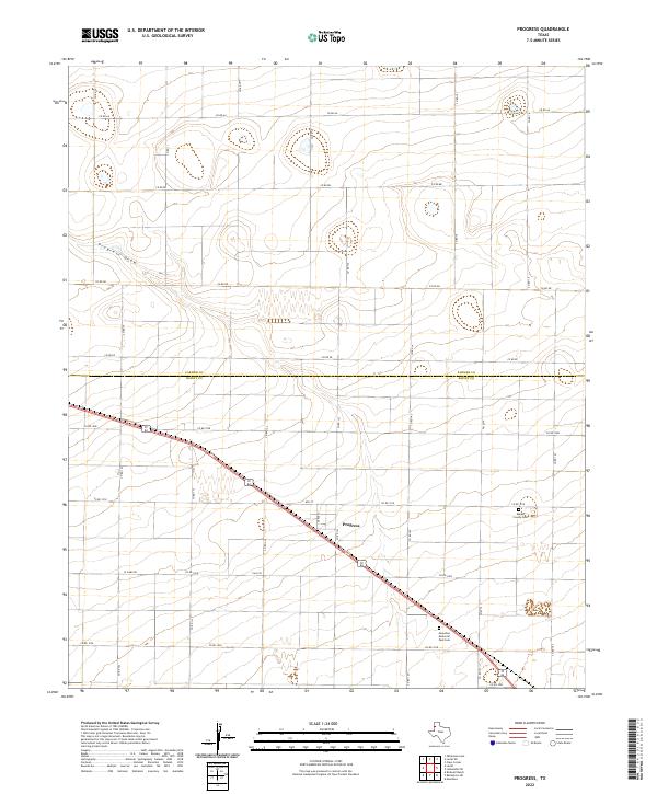
1963 Map of Progress
USGS Topo · Published 1965About this map
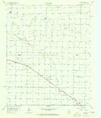
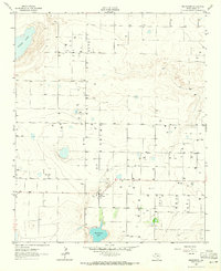
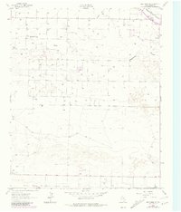
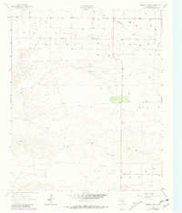
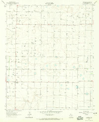
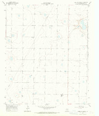
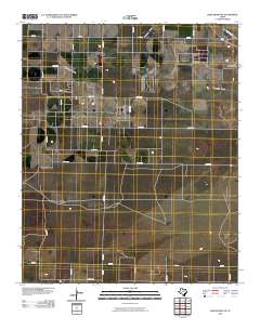
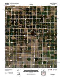
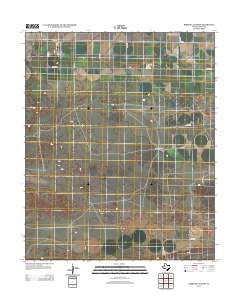
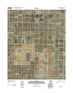
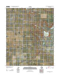
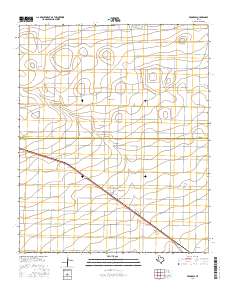
Agricultural patterns and water management define this High Plains landscape during the early 1960s. The small settlement of Progress serves as a central point in an area characterized by an extensive network of water wells and drainage features like Progress Draw. The transport of goods through the region is anchored by the Panhandle And Santa Fe railroad, which cuts diagonally across the grid-patterned fields. Genealogists and local historians will find significant detail in the eastern portion of the map, which includes the Muleshoe Cem and the Bailey County Memorial Park (Cem). The terrain is further marked by resource extraction at the Gravel Pit and the established political boundary of Parmer Co Bailey Co, providing a clear view of the county line at mid-century.
Find a feature on this map
8 named features on this map. Tap any name to fly to it.
Don’t see what you’re looking for? This feature index may not catch every label — zoom into the map to look around manually.
Map Details
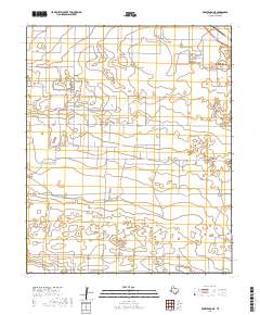
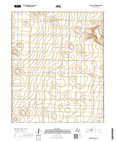
Editions of this 1963 Progress Map
This is the sole edition of this map. No revisions or reprints were ever made.
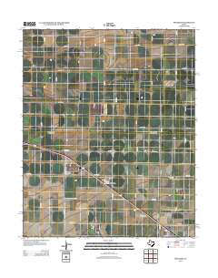
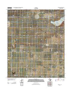
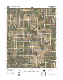
Historical Maps of Progress Through Time
66 maps found
1962 Baileyboro
Bailey County, TX
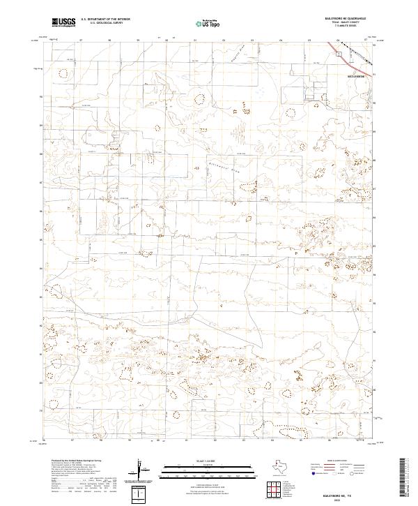
1962 Baileyboro NE
Bailey County, TX
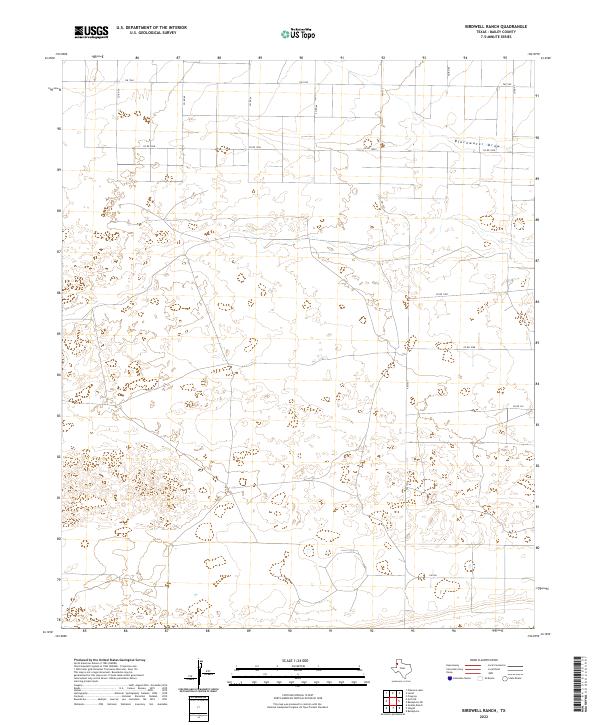
1962 Birdwell Ranch
Bailey County, TX
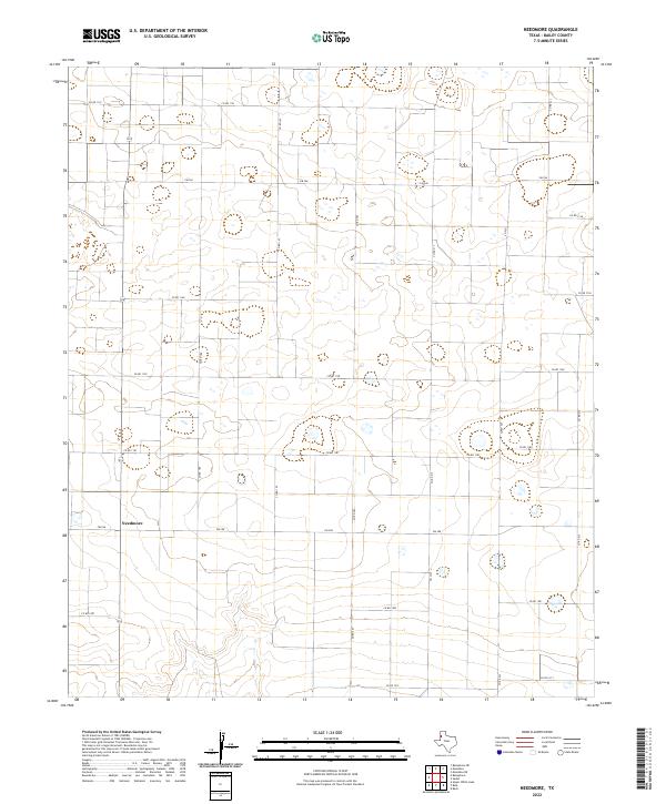
1962 Needmore
Bailey County, TX
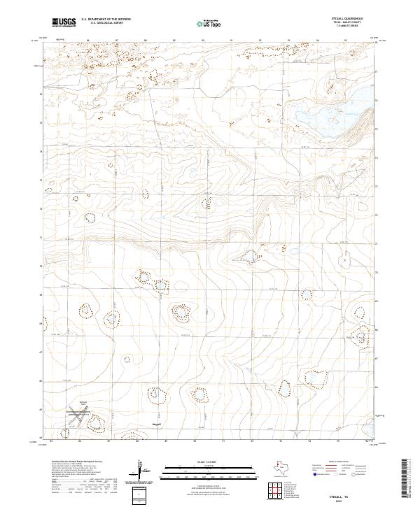
1962 Stegall
Bailey County, TX
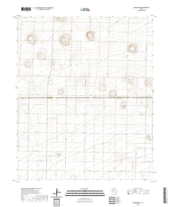
1963 Lazbuddie SW
Bailey County, TX
1963 Progress
Bailey County, TX
1968 Bula
Bailey County, TX
1968 Three Way School
Bailey County, TX
1968 Upper White Lake
Bailey County, TX
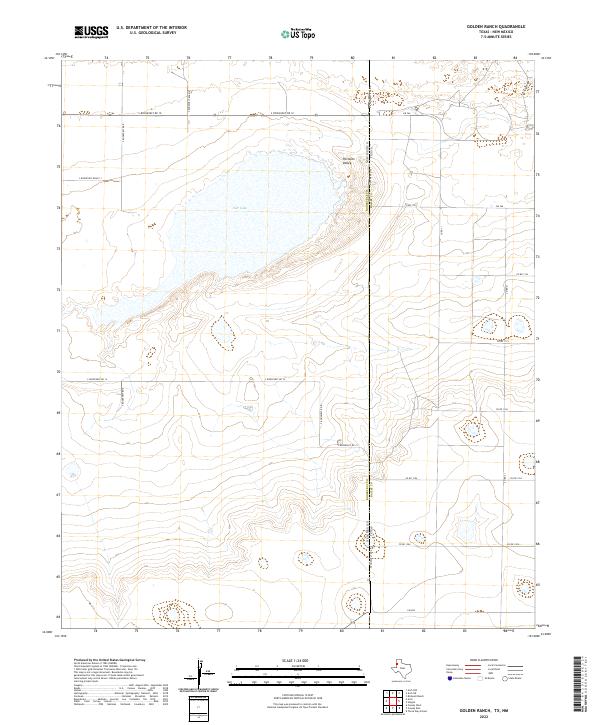
1985 Golden Ranch
Bailey County, TX
2010 Baileyboro
Bailey County, TX
2010 Baileyboro NE
Bailey County, TX
2010 Birdwell Ranch
Bailey County, TX
2010 Bula
Bailey County, TX
2010 Golden Ranch
Bailey County, TX
2010 Lazbuddie SW
Bailey County, TX
2010 Needmore
Bailey County, TX
2010 Progress
Bailey County, TX
2010 Stegall
Bailey County, TX
2010 Three Way School
Bailey County, TX
2010 Upper White Lake
Bailey County, TX
2012 Baileyboro
Bailey County, TX
2012 Baileyboro NE
Bailey County, TX
2012 Birdwell Ranch
Bailey County, TX
2012 Bula
Bailey County, TX
2012 Golden Ranch
Bailey County, TX
2012 Lazbuddie SW
Bailey County, TX
2012 Needmore
Bailey County, TX
2012 Progress
Bailey County, TX
2012 Stegall
Bailey County, TX
2012 Three Way School
Bailey County, TX
2012 Upper White Lake
Bailey County, TX
2016 Baileyboro
Bailey County, TX
2016 Baileyboro NE
Bailey County, TX
2016 Birdwell Ranch
Bailey County, TX
2016 Bula
Bailey County, TX
2016 Golden Ranch
Bailey County, TX
2016 Lazbuddie SW
Bailey County, TX
2016 Needmore
Bailey County, TX
2016 Progress
Bailey County, TX
2016 Stegall
Bailey County, TX
2016 Three Way School
Bailey County, TX
2016 Upper White Lake
Bailey County, TX
2019 Baileyboro
Bailey County, TX
2019 Baileyboro NE
Bailey County, TX
2019 Birdwell Ranch
Bailey County, TX
2019 Bula
Bailey County, TX
2019 Golden Ranch
Bailey County, TX
2019 Lazbuddie SW
Bailey County, TX
2019 Needmore
Bailey County, TX
2019 Progress
Bailey County, TX
2019 Stegall
Bailey County, TX
2019 Three Way School
Bailey County, TX
2019 Upper White Lake
Bailey County, TX
2022 Baileyboro
Bailey County, TX
2022 Baileyboro NE
Bailey County, TX
2022 Birdwell Ranch
Bailey County, TX
2022 Bula
Bailey County, TX
2022 Golden Ranch
Bailey County, TX
2022 Lazbuddie SW
Bailey County, TX
2022 Needmore
Bailey County, TX
2022 Progress
Bailey County, TX
2022 Stegall
Bailey County, TX
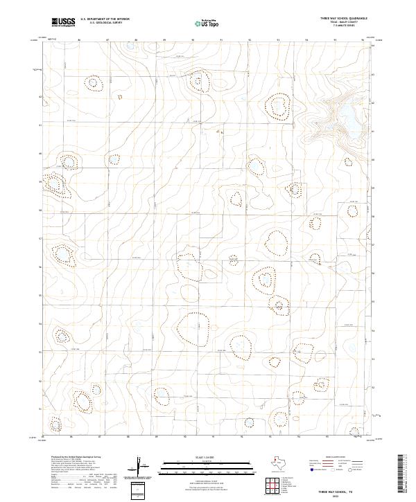
2022 Three Way School
Bailey County, TX
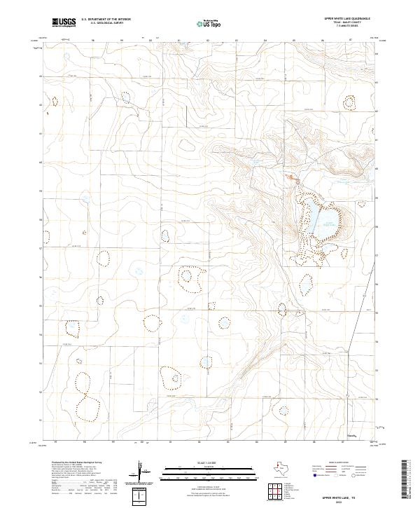
2022 Upper White Lake
Bailey County, TX