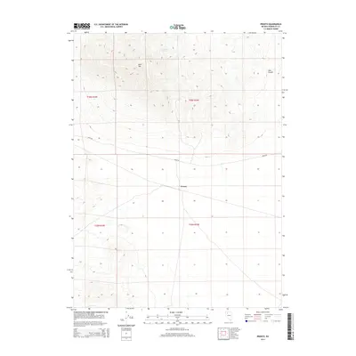
2014 Map of Pronto
USGS Topo · Published 2014About this map
Pronto sits at a geographic crossroads in Humboldt County, where the desert flats meet the rising slopes of Blue Mtn. This high-desert landscape is defined by its isolation and its essential water sources, including Sampson Spring and O'Donnell Spring, which have long served travelers in this arid region. The primary artery through the area is Jungo Rd, a route that connects the remote basins and mountain ranges of northern Nevada. To the east, the terrain descends into Abel Canyon, illustrating the sharp elevation changes characteristic of this part of the Great Basin. The grid of the Public Land Survey System, including t36n r35e and t35n r35e, provides the underlying structure for a landscape otherwise dominated by natural topography and the single settlement of Pronto.
Find a feature on this map
10 named features on this map. Tap any name to fly to it.
Don’t see what you’re looking for? This feature index may not catch every label — zoom into the map to look around manually.
Map Details
Editions of this 2014 Pronto Map
This is the sole edition of this map. No revisions or reprints were ever made.
Other maps of this area

1882 · Paradise
USGS Topo · 1:250,000

1886 · Disaster
USGS Topo · 1:250,000

1893 · Paradise
USGS Topo · 1:250,000

1893 · Disaster
USGS Topo · 1:250,000

1931 · Lovelock
USGS Topo · 1:250,000

1932 · Sonoma Range
USGS Topo · 1:250,000

1935 · Lovelock
USGS Topo · 1:250,000

1939 · Sonoma Range
USGS Topo · 1:250,000

1939 · Eugene Mountains Area
USGS Topo · 1:62,500

1942 · Eugene Mountains Area
USGS Topo · 1:62,500